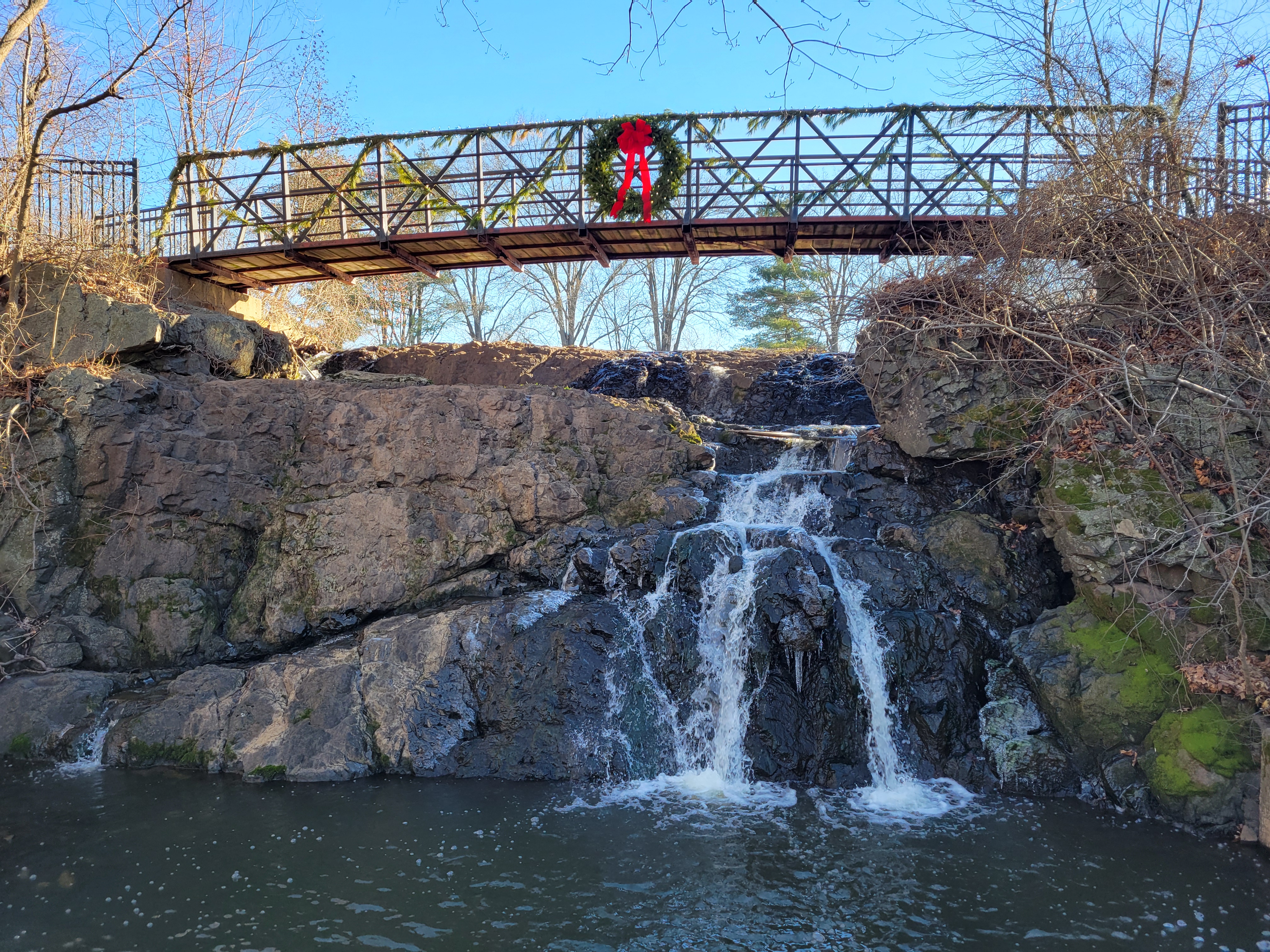
Upper Mill Pond Falls
Sturgeon, W.Br. (Menominee R. trib.) - Metropolitan to Calumet Mine Road (5.77 miles) (MI)
Gauge Conditions
Runnable: ? – ? CFS
Approximate - nearest available gauge. Use as general reference only.
Data from American Whitewater & USGS
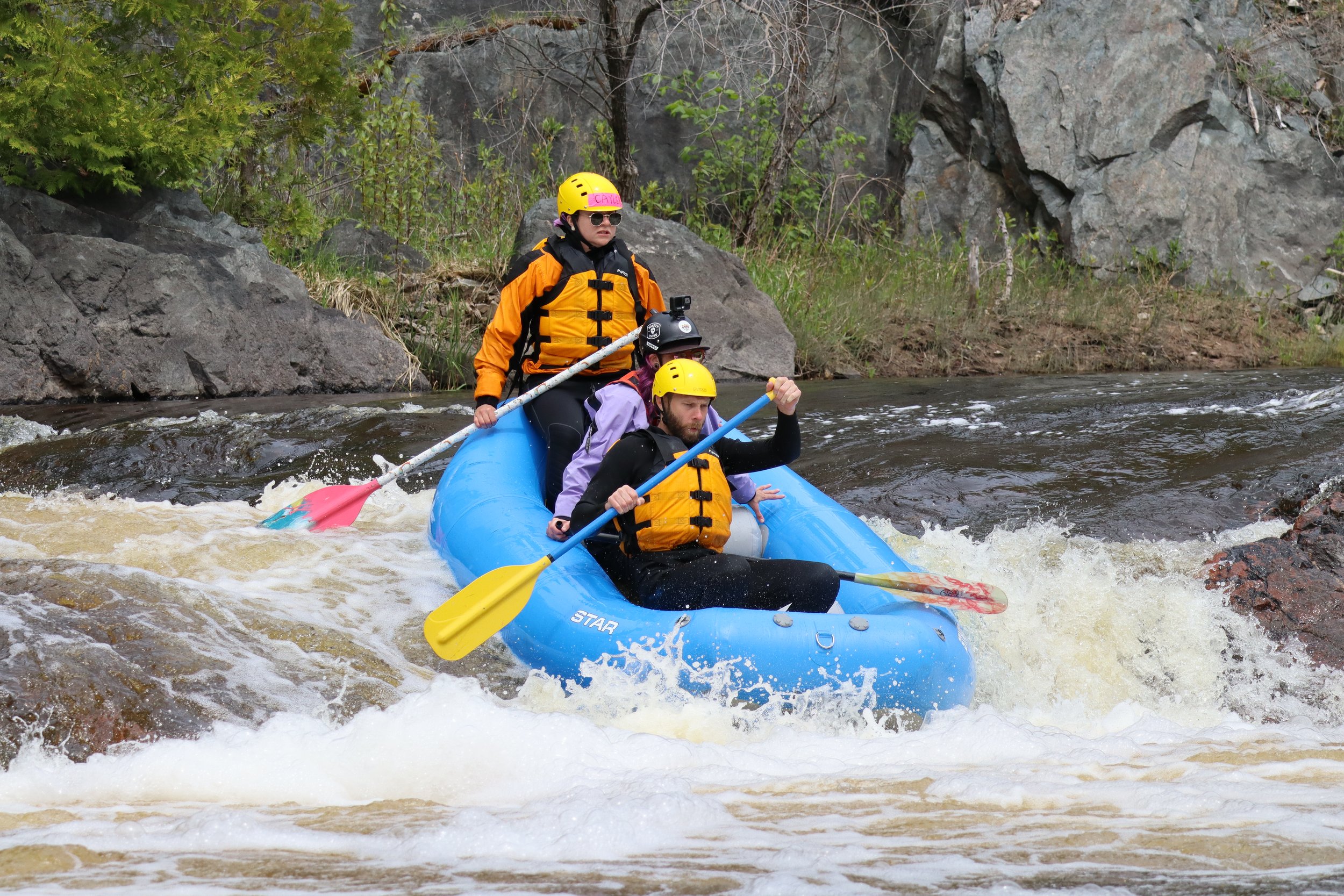
Photo
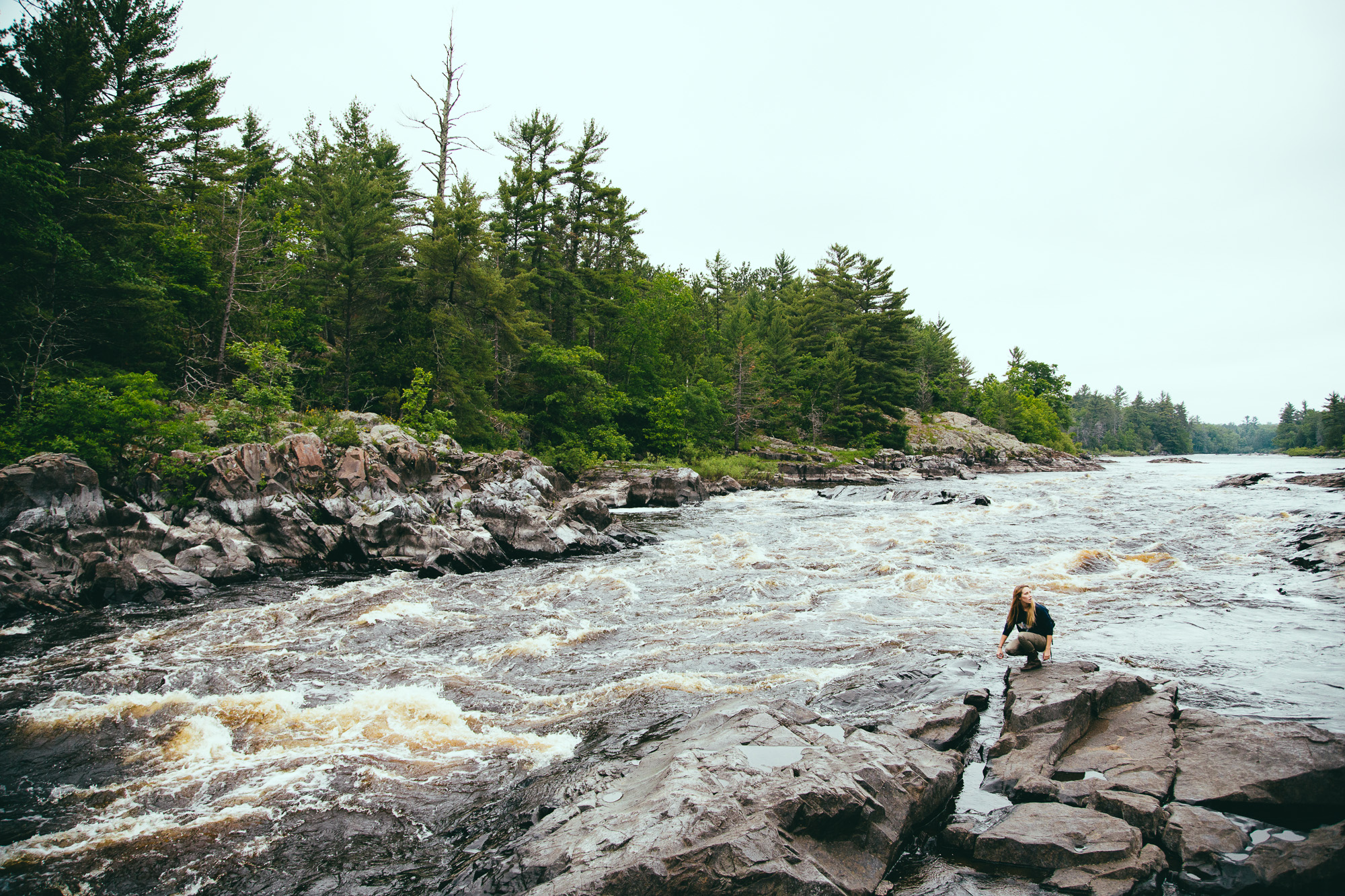
Photo courtesy of American Whitewater
Description
You don't have to paddle very far to find a big drop.
Location
Other Rapids on This Run (10)

View Full Run
Metropolitan to Calumet Mine Road (5.77 miles)
Sturgeon, W.Br. (Menominee R. trib.)
II-IV
5.1 mi
Current Conditions
5-Day Forecast
Whitewater data from
American Whitewater
American Whitewater