Sunrise/Hendricks Road to Flint
Linked via: Proximity 99% confidence Synced 6mo ago
Gauge Conditions
Runnable: ? – ? CFS
Approximate reading: This gauge is 5.4 miles away on Lazer Creek. Use as a general reference only.
Data from American Whitewater & USGS
Run Map
Run Time Estimate
Select put-in and take-out to estimate time.
Unlock Advanced Trip Planning
See wind-adjusted speed maps, forecast planning, and detailed time estimates.
Sign in to generate an AI timing estimate for this run.
Whitewater timing varies with scouting, portages, and group pace. Use as a planning baseline.
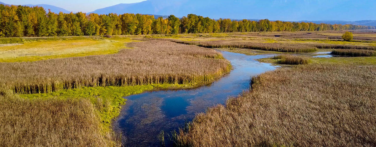
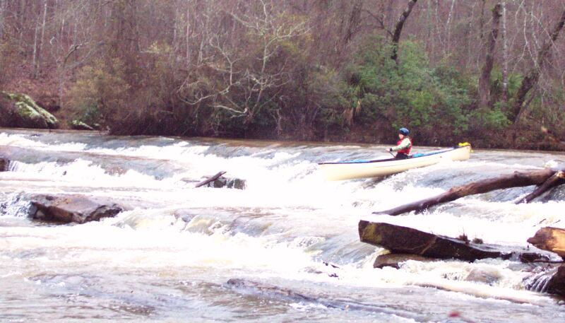
Description
This is one of Georgia's prettiest and most remote Fall Line runs. Typical of Fall Line runs that spill over the edge of the Piedmont onto the Coastal Plain, considerable flatwater separates the rapids, of which there are mostly Is and a couple worthwhile IIs. The riverwide stairstep ledge near Coleoatchee Ck confluence might be a III. It's an impressive II+ at the very least. Swims could be long and lumpy but the routes are straight through and recovery (eventual) not a problem.
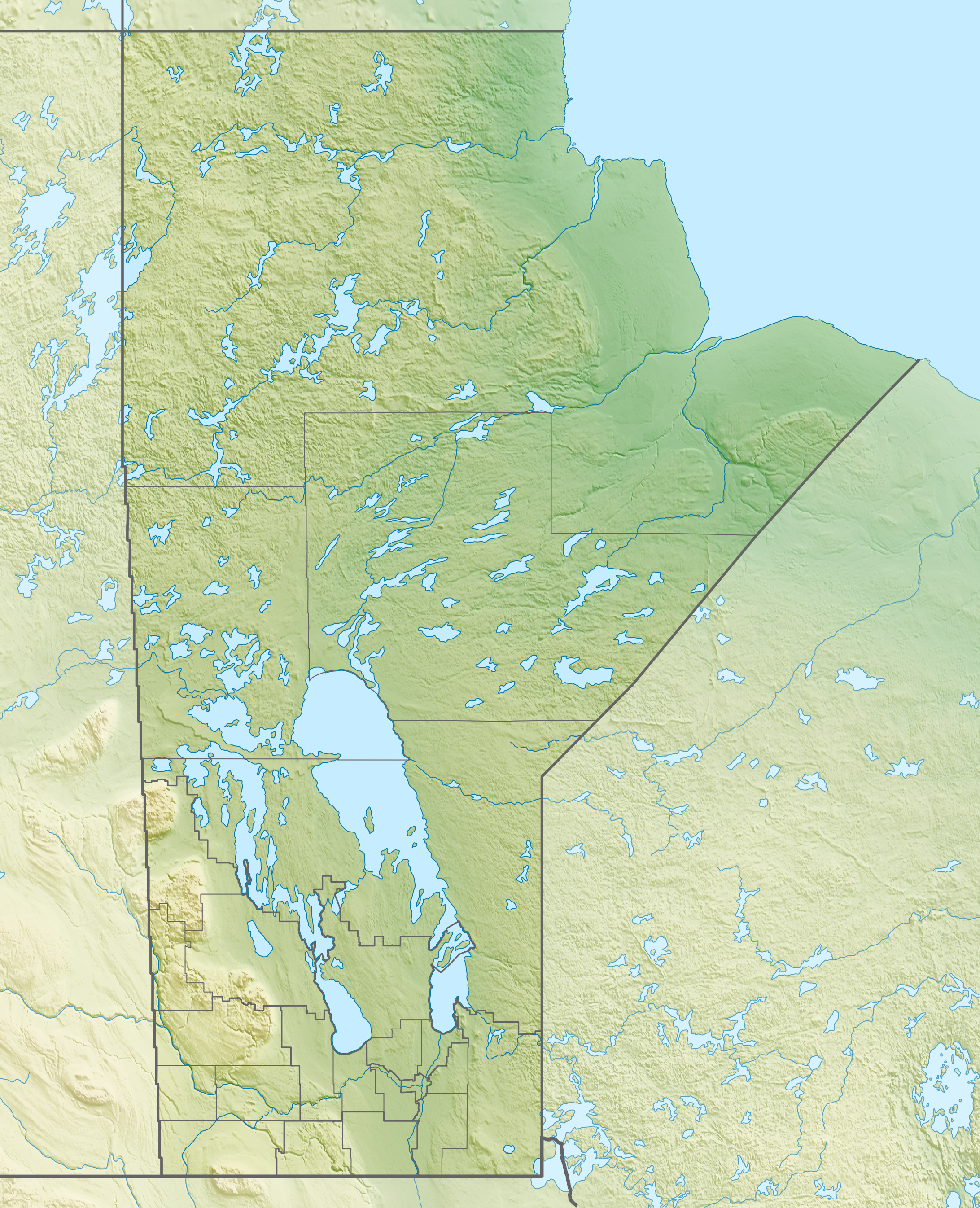
The DNR provides two developed take-outs. A fork in the shuttle road (32.8003,-84.3988) has a sign indicating your choice of access points: 'Lazer Ck' and 'Flint River'. The one labeled 'Lazer Ck' is 0.2 miles upstream of the confluence (32.8078,-84.4042). The one labeled 'Flint River' is on the Flint 0.8 miles downstream of the confluence (32.8009,-84.3968). The choice is entirely about whether you want to paddle or drive that last mile.
Consult the WMA map online because Google Maps doesn't know its way around the WMA roads:
Difficulty
Class I-II
Length
9.9 mi
Gradient
7 ft/mi
Rapids
5
Access Points
Difficulty Classes
I Easy
II Novice
III Intermediate
IV Advanced
V Expert/Extreme
VI Unrunnable
Current Conditions
5-Day Forecast
Whitewater data from
American Whitewater
American Whitewater