Prospective put-in inside the WMA (unconfirmed)
Lazer Creek - Sunrise/Hendricks Road to Flint (GA)
Gauge Conditions
Approximate - nearest available gauge. Use as general reference only.
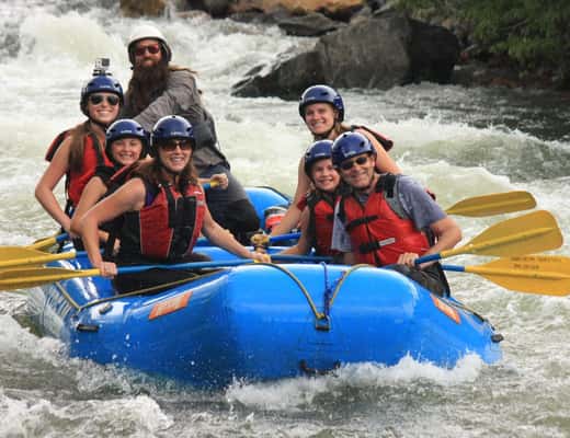
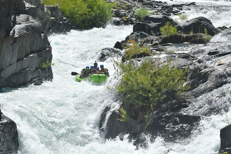
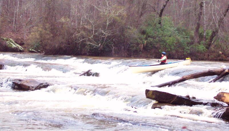
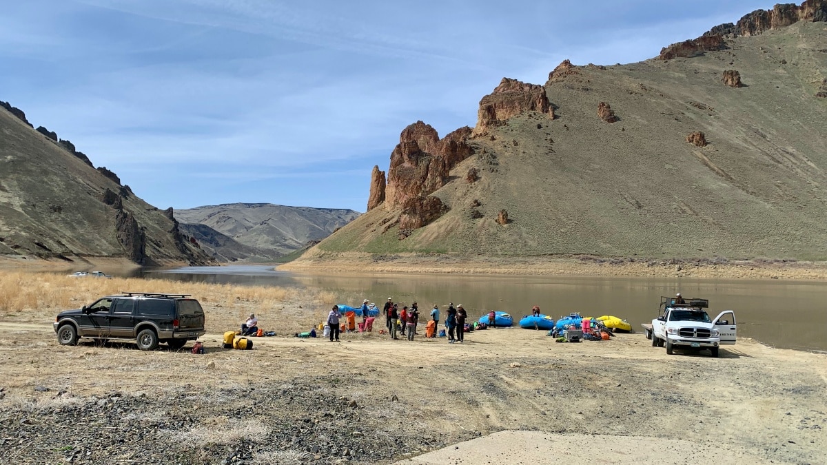
Photo
Description
This might be an alternative to the Sunrise Rd bridge put-in that becomes useful if landowners between the bridge and the start of WMA land restrict passage.
Located 2.5 miles downstream of Sunrise Rd bridge, at river mile 6.5.
The road might be gated for some or all of the year.
Driving directions
1) Use google to navigate to 32.7799, -84.4358 on Bunkham Road.
2) Turn left there onto St Joe road
3) Drive northeast on St Joe road 0.8 miles
4) Turn left onto a side road at 32.7856, -84.4476
5) Drive westward 0.6 miles to end of the road at 32.7834, -84.4564
6) Park. Follow the trail westward 0.17 miles (300 yards) to the river
Location
Other Rapids on This Run (7)
 Rapid
N/A
Rapid
N/A
 Rapid
N/A
Rapid
N/A
 Rapid
N/A
Rapid
N/A
 Rapid
N/A
Rapid
N/A
 Rapid
N/A
Rapid
N/A
 Rapid
II+
Rapid
II+
 Rapid
N/A
Rapid
N/A
Current Conditions
5-Day Forecast
American Whitewater