Gauge Conditions
Runnable: ? – ? CFS
Approximate - nearest available gauge. Use as general reference only.
Data from American Whitewater & USGS
Photo
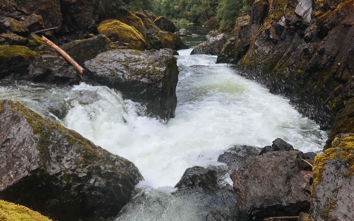
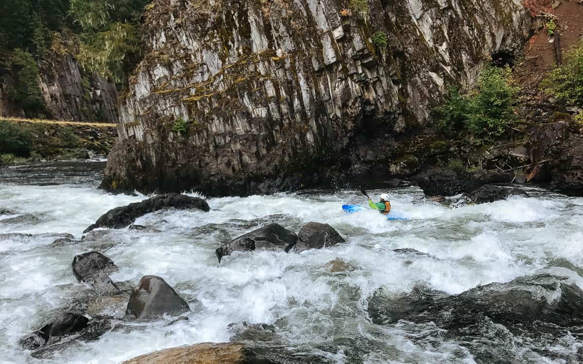
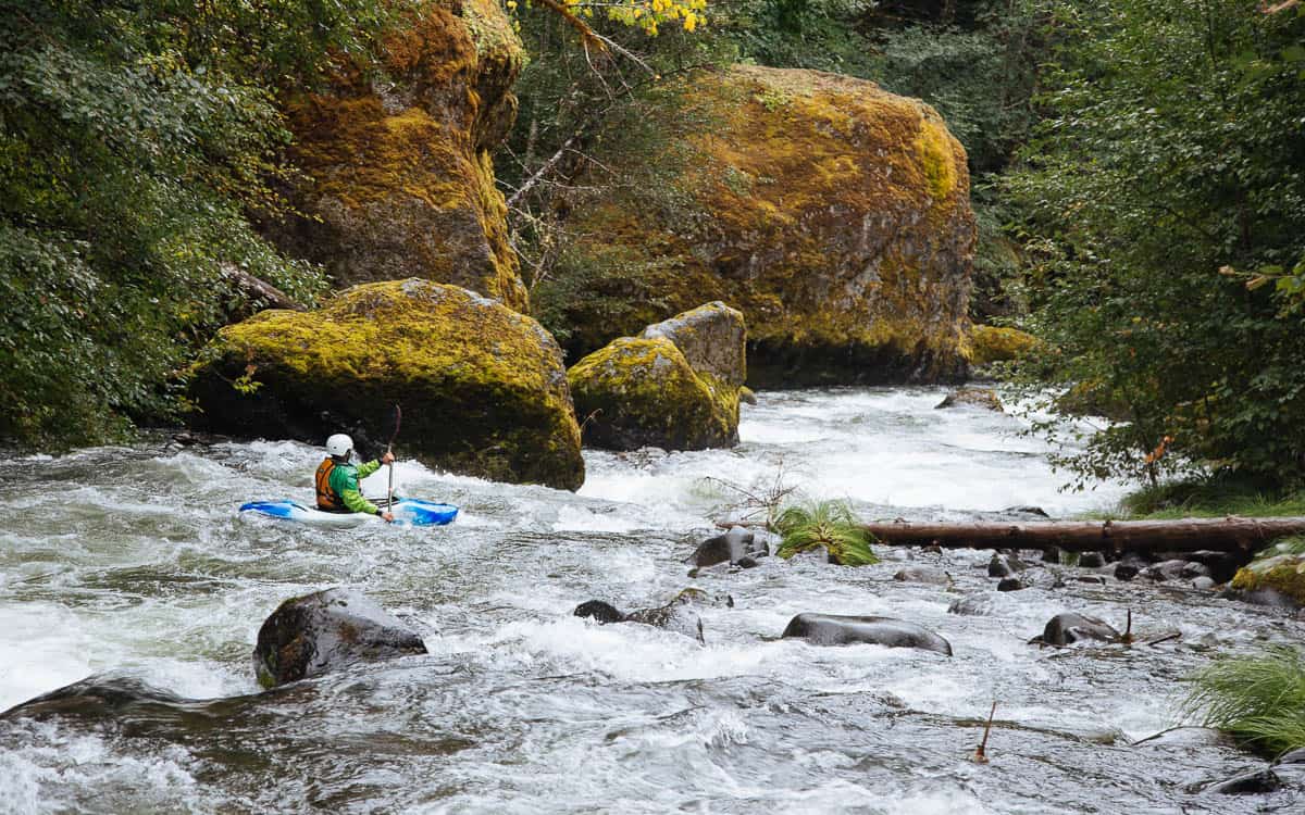
Photo courtesy of American Whitewater
Description
Chute to Kill has changed significantly over the last 20 years due to rockfall from the large cliff on the right side of the river. The top is mostly blocked by large boulders and may or may not be runnable. About 20 meters below the top, the river spilts around a large boulder creating two narrow slots. Both are runnable but the left is the easiest. The right has a portion of the flow going under the boulder creating a dangerous sieve. The easiest portage is up on the road from the pool above the rapid.
Location
Other Rapids on This Run (3)

View Full Run
2. Mile 5.5 bridge to Two Rivers Picnic Area
Collawash
III-IV(V)
6.4 mi
Current Conditions
5-Day Forecast
Whitewater data from
American Whitewater
American Whitewater