Gauge Conditions
Runnable: ? – ? CFS
Approximate - nearest available gauge. Use as general reference only.
Data from American Whitewater & USGS
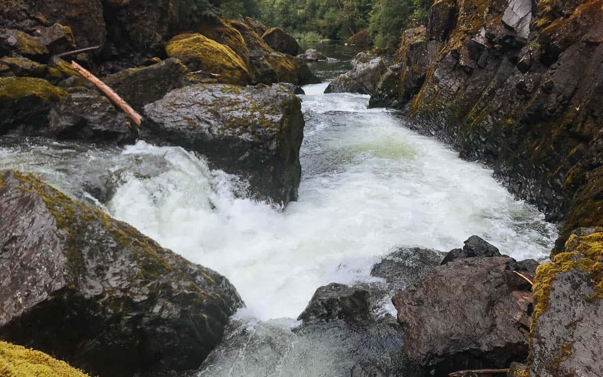
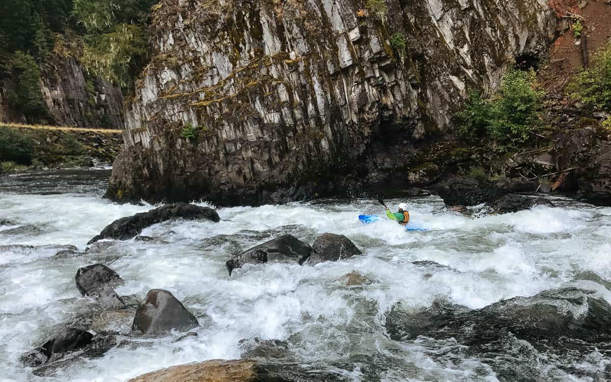
Photo
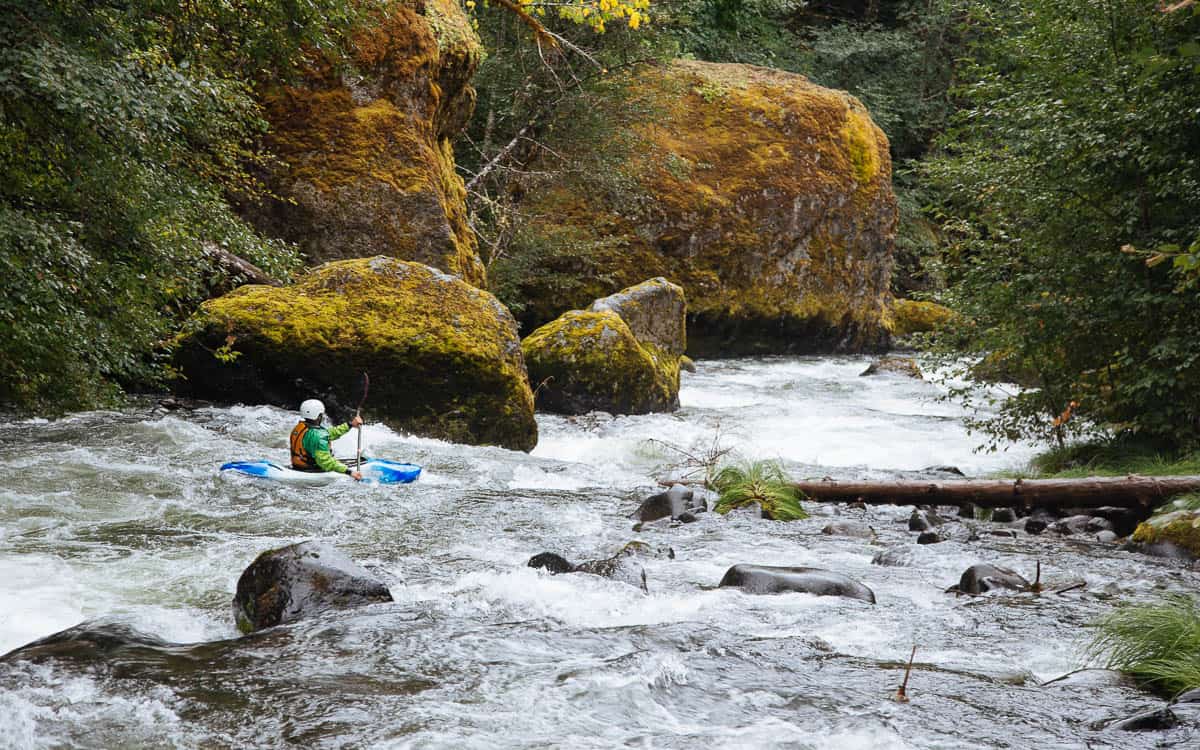
Photo courtesy of American Whitewater
Description
Easiest to take out in the small eddies on the right before reaching the Clackamas confluence.
Location
Other Rapids on This Run (3)

View Full Run
2. Mile 5.5 bridge to Two Rivers Picnic Area
Collawash
III-IV(V)
6.4 mi
Current Conditions
5-Day Forecast
Whitewater data from
American Whitewater
American Whitewater