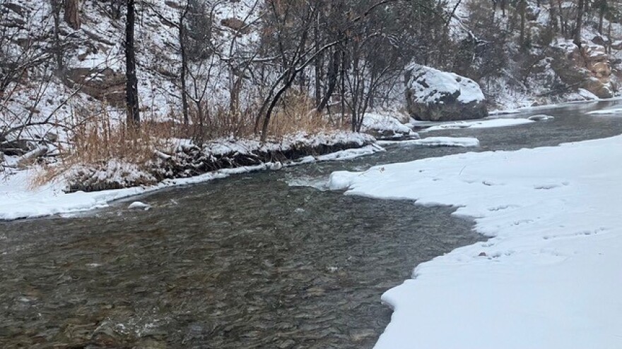
How's Your
River
×
Explore
Explore Map
Water Bodies
Gauges
Access Sites
Tidal Stations
Whitewater
Pricing
Login
Sign Up
Hazard Warning:
Hazard information may be user-submitted and unverified. Conditions change frequently. Always scout rapids and obstacles yourself.
Whitewater
New York
Fish Creek, E. Branch - Point Rock to Taberg
City of Rome Dam
Portage
NY
City of Rome Dam
Fish Creek, E. Branch - Point Rock to Taberg (NY)
Monitor this Rapid
Water Body
This Run
Map
Other Rapids
Gauge
Weather
Directions
Gauge Conditions
East Branch Fish Creek at Taberg NY
Downstream
Primary
Runnable: 1,000.0 – 6,000.0 CFS
Min and max ranges are an educated guess.
Data from
American Whitewater
&
USGS
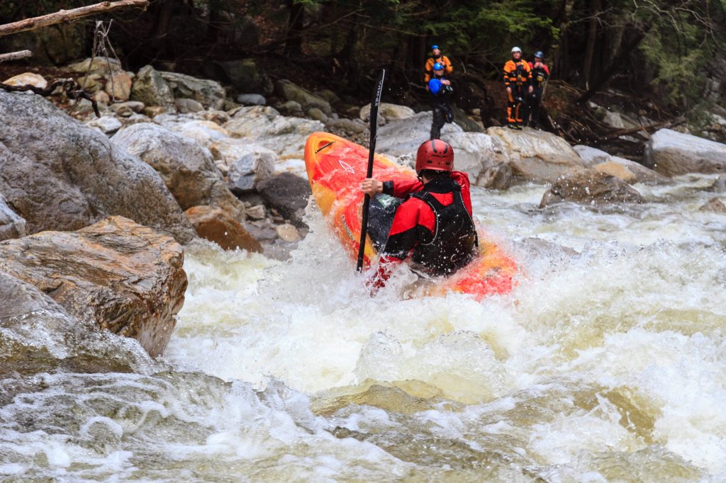
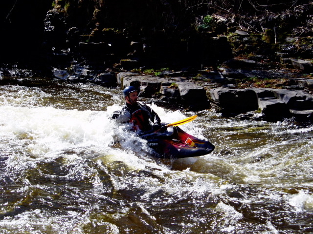
Photo
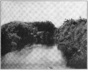
Photo courtesy of
American Whitewater
Description
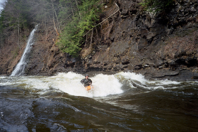
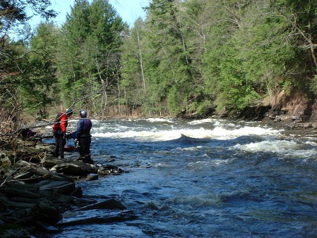
Don't even think about it. Portage left.This is also the secondary access point; to get there, walk half a mile down from Streun Road.
Location
Radar
Counties
Cell
Verizon
AT&T
T-Mobile
Dark
Satellite
Terrain
Other Rapids on This Run (11)
Rapid
Putin
0.0 mi
Rapid
Ice Pool
1.0 mi
Waterfall
V+
Fall Brook Falls
3.7 mi
Playspot
Waterfall Wave
5.4 mi
Rapid
III
Kelly's Corner
5.8 mi
Hazard
III+
Hotel California
6.0 mi
Rapid
II+
Palmer Rd. Rapid
6.6 mi
Playspot
II+
The Narrows
7.1 mi
Hazard
Sand Pit
8.5 mi
Playspot
II+
Town Rapid
8.9 mi
Playspot
Takeout
9.8 mi
Type
Portage
Mile Marker
4.6 mi
Directions
Navigate
View Full Run
Point Rock to Taberg
Fish Creek, E. Branch
II-IV
9.3 mi
Portage recommended
— Scout before running and consider carrying around this feature.
Current Conditions
5-Day Forecast
Whitewater data from
American Whitewater
City of Rome Dam