Gauge Conditions
Runnable: 1,000.0 – 6,000.0 CFS
Min and max ranges are an educated guess.
Data from American Whitewater & USGS
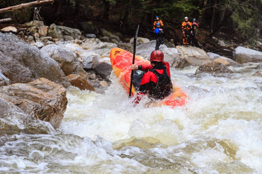
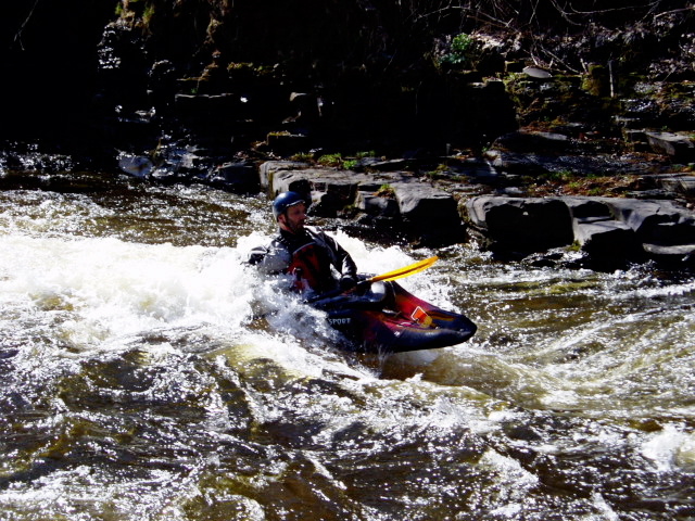
Photo
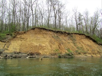
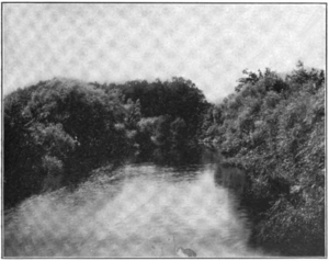
Photo courtesy of American Whitewater
Description
After the river takes a sharp right turn, you'll see sand cliffs on your right. This one isn't particularly difficult, but it's a common place where wood collects (on the right side, the outside corner of the turn). The wood should be easy for seasoned paddlers to avoid, but people who find the Fish a step up would be well advised to head hard left to avoid any screw-ups.
Location
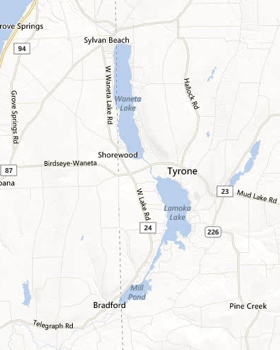
View Full Run
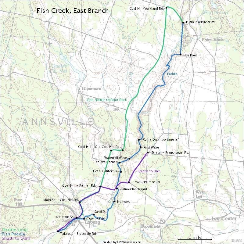
Point Rock to Taberg
Fish Creek, E. Branch
II-IV
9.3 mi
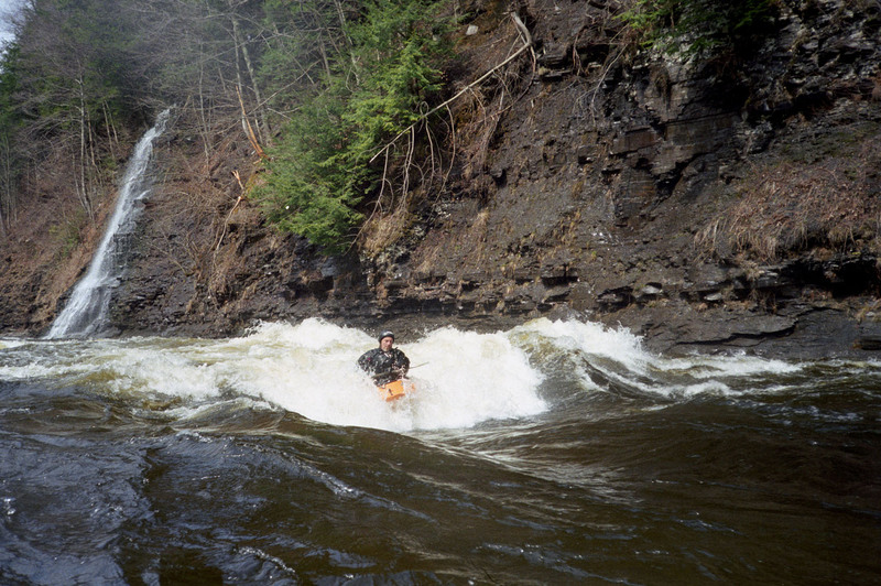
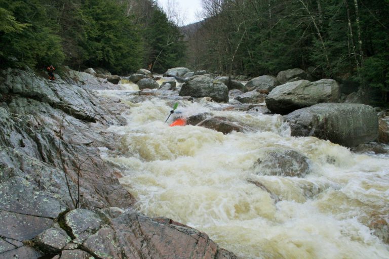
Hazard — Exercise extreme caution in this area.
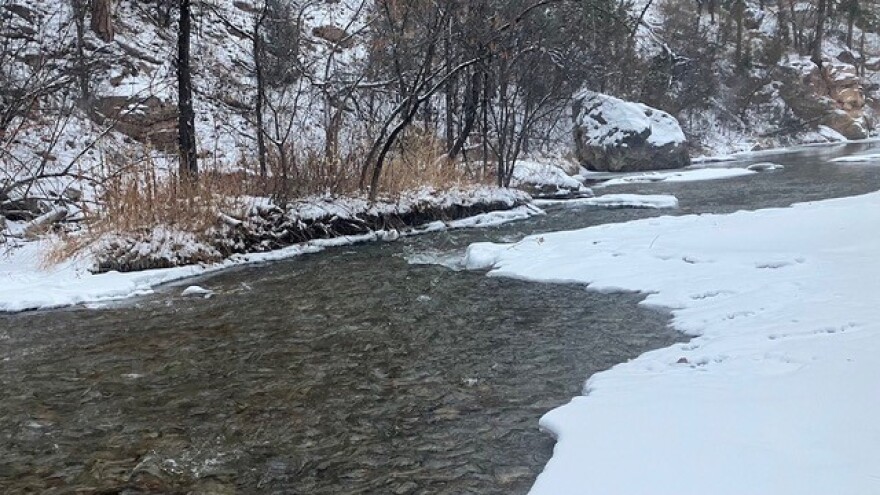
Current Conditions
5-Day Forecast
Whitewater data from
American Whitewater
American Whitewater