How's Your
River
×
Explore
Explore Map
Water Bodies
Gauges
Access Sites
Tidal Stations
Whitewater
Pricing
Login
Sign Up
Hazard Warning:
Hazard information may be user-submitted and unverified. Conditions change frequently. Always scout rapids and obstacles yourself.
Whitewater
New York
Fish Creek, E. Branch - Point Rock to Taberg
Putin
Put-in
NY
Putin
Fish Creek, E. Branch - Point Rock to Taberg (NY)
Monitor this Rapid
Water Body
This Run
Map
Other Rapids
Gauge
Weather
Directions
Gauge Conditions
East Branch Fish Creek at Taberg NY
Downstream
Primary
Runnable: 1,000.0 – 6,000.0 CFS
Min and max ranges are an educated guess.
Data from
American Whitewater
&
USGS
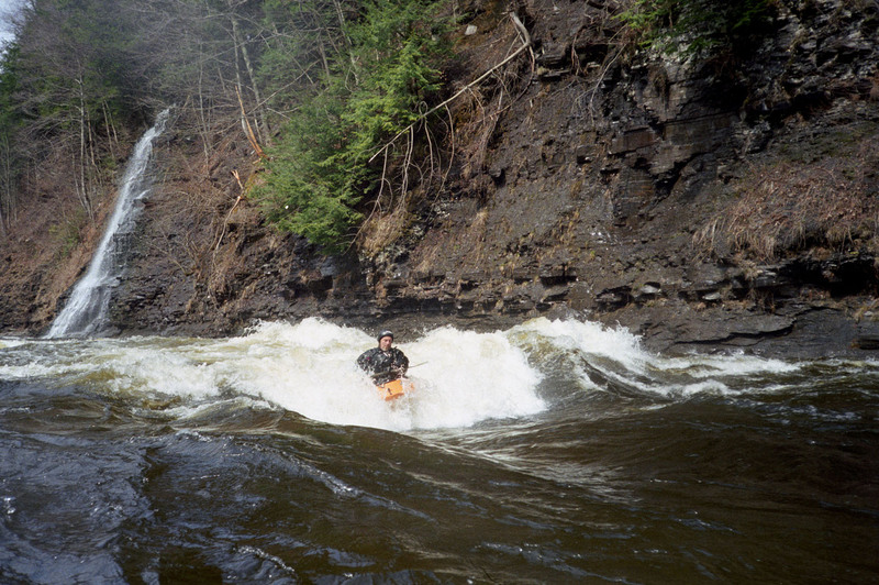
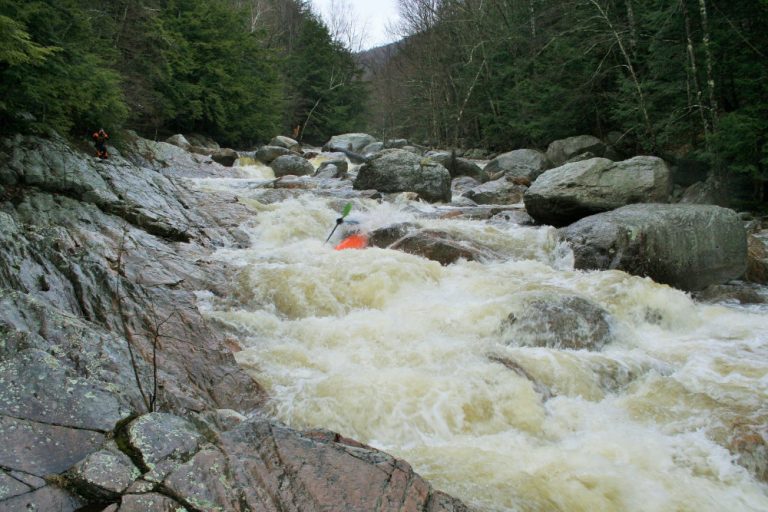
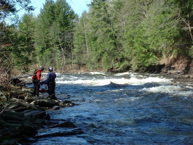
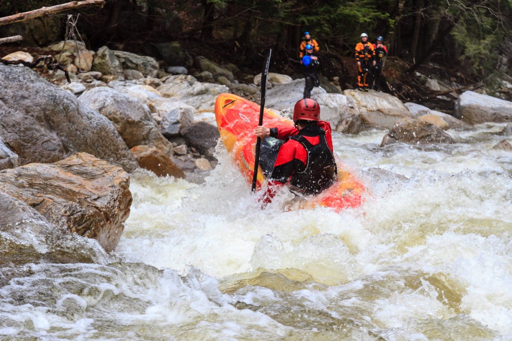
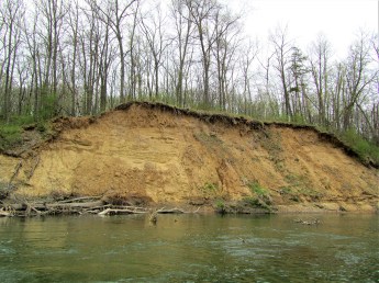
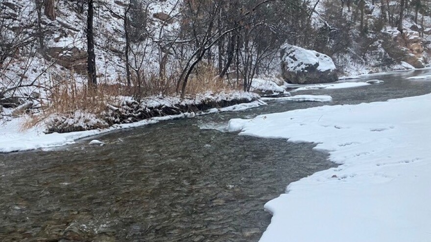
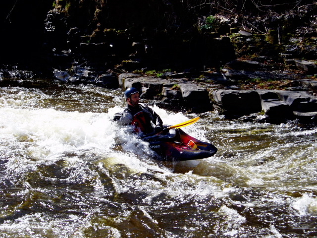
Photo
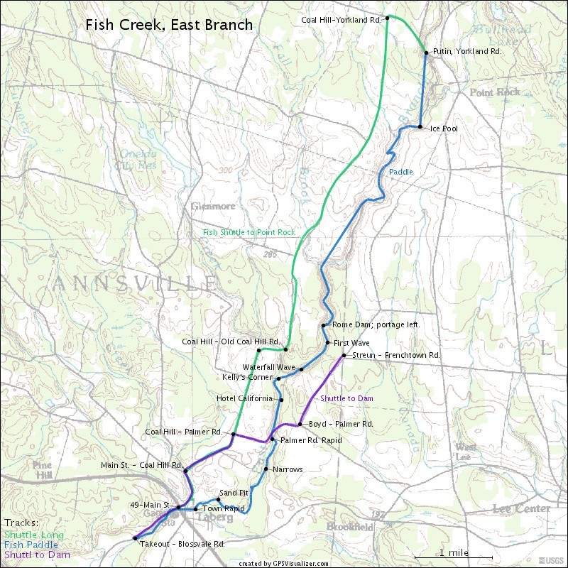
Photo courtesy of
American Whitewater
Description
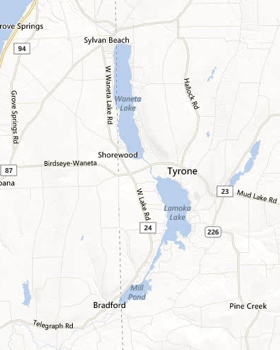
Check out the map, which shows the shuttle to the Point Rock putin, as well as the shuttle to the Dam. At Point Rock, park on the North side of Yorkland Rd., and walk down the easy path to the river.
Location
Radar
Counties
Cell
Verizon
AT&T
T-Mobile
Dark
Satellite
Terrain
Other Rapids on This Run (11)
Rapid
Ice Pool
1.0 mi
Waterfall
V+
Fall Brook Falls
3.7 mi
Portage
City of Rome Dam
4.6 mi
Playspot
Waterfall Wave
5.4 mi
Rapid
III
Kelly's Corner
5.8 mi
Hazard
III+
Hotel California
6.0 mi
Rapid
II+
Palmer Rd. Rapid
6.6 mi
Playspot
II+
The Narrows
7.1 mi
Hazard
Sand Pit
8.5 mi
Playspot
II+
Town Rapid
8.9 mi
Playspot
Takeout
9.8 mi
Type
Put-in
Mile Marker
0.0 mi
Directions
Navigate
View Full Run
Point Rock to Taberg
Fish Creek, E. Branch
II-IV
9.3 mi
Current Conditions
5-Day Forecast
Whitewater data from
American Whitewater
Putin