Gauge Conditions
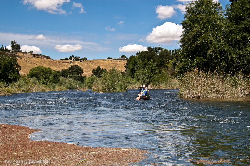
Good for canoes and beginners.
CDEC Flow Data California
Photo
Description
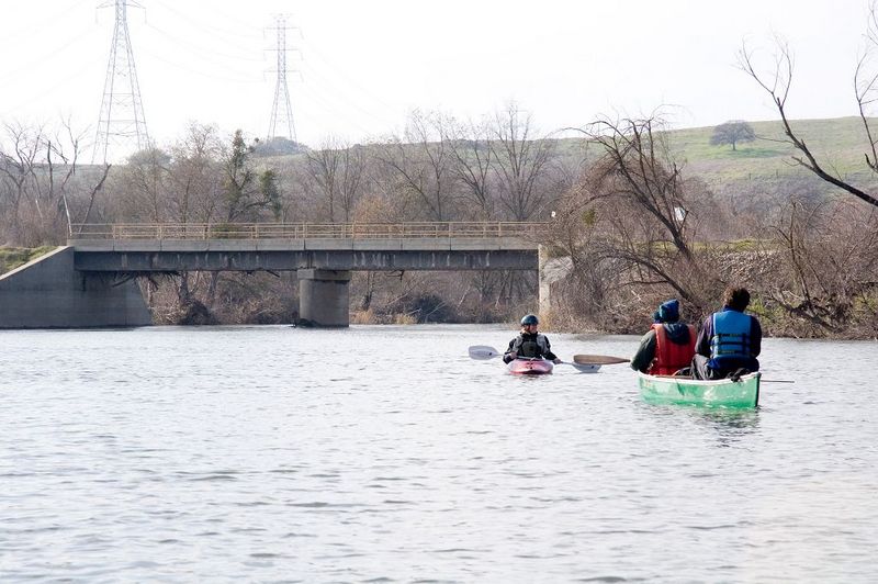
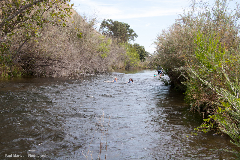
This old bridge serves as a landmark for boaters. There are many swallow nests underneath this bridge. Also, there is a lot of driftwood wedged in the girders underneath the left side of the bridge. The flood of January 1997 was up to this bridge and washed out the roads on either side. This bridge creates a constriction point that raises the level of the river. Somewhere above 7,000 cfs the river level gets very close to the underside of the bridge. If the level gets too close, boaters will have to get far to the side and portage.
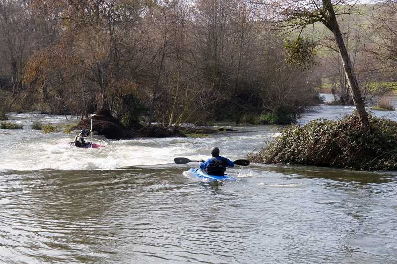
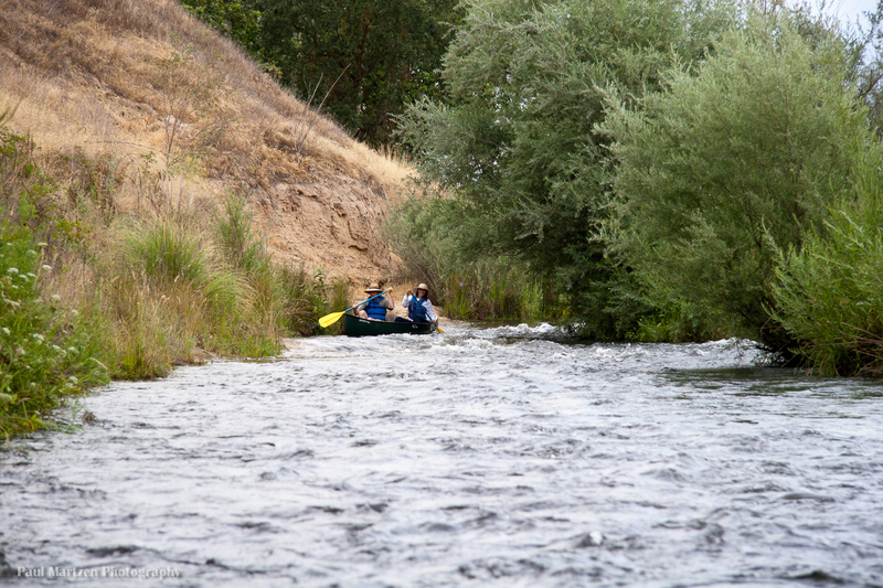
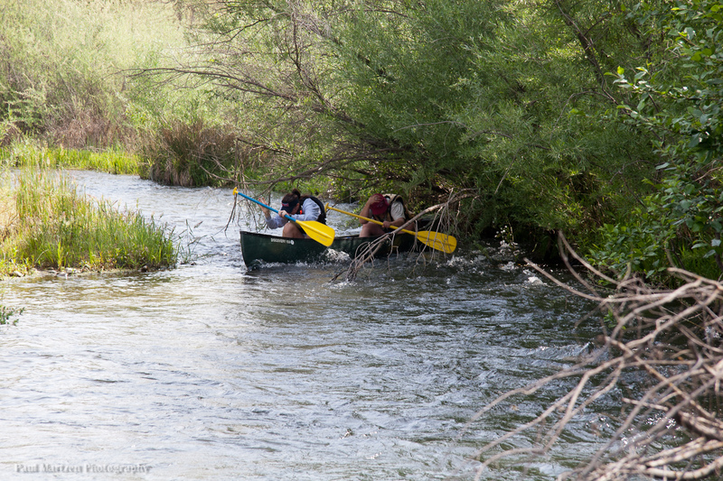
This fun riffle starts immediately below the bridge. The channel drops slightly to the left, sharply to the right, and then swings back to the left. At low flows of 250 cfs in 2008, the river split around a low gravel bar. The left channel is safest, as a tree hangs into and blocks most of the right channel.
Note the erosion of the right bank, below the rapid. High flows in 2011 removed perhaps ten feet of bank.
Location
Other Rapids on This Run (20)
 Rapid
N/A
Rapid
N/A
 Hazard
I
Hazard
I
 Playspot
I
Playspot
I
 Playspot
II
Playspot
II
 Rapid
I
Rapid
I
 Rapid
I
Rapid
I
 Rapid
N/A
Rapid
N/A
 Hazard
I
Hazard
I
 Rapid
I
Rapid
I
 Hazard
I
Hazard
I
 Hazard
I
Hazard
I
 Rapid
I
Rapid
I
 Rapid
I
Rapid
I
 Rapid
N/A
Rapid
N/A
 Rapid
I
Rapid
I
Current Conditions
5-Day Forecast
American Whitewater