Gauge Conditions
Runnable: 150.0 – 15,000.0 CFS
Good for canoes and beginners.
Data from American Whitewater & USGS
CDEC Flow Data California
Data from California Data Exchange Center (CDEC)
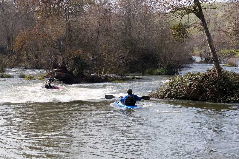
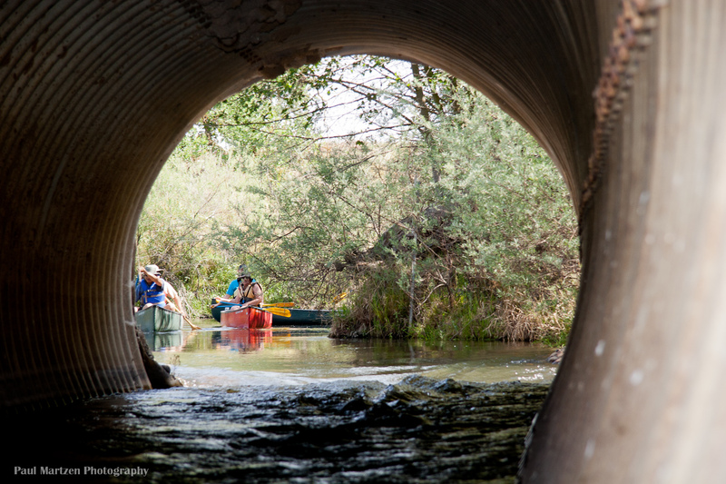
Photo
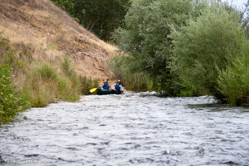
Photo courtesy of American Whitewater
Description
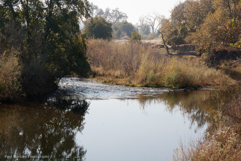
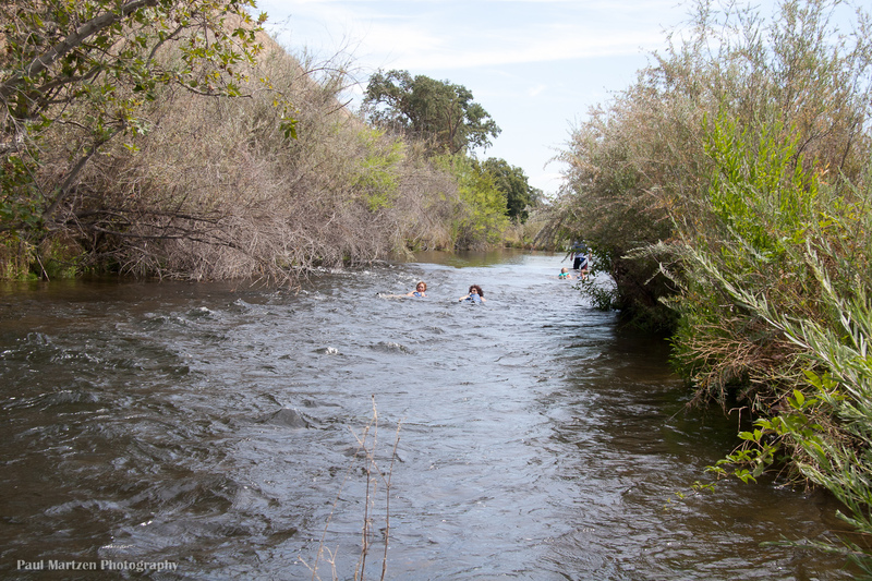
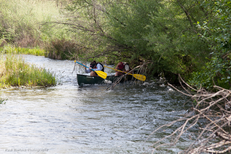
A fun riffle at low flows in a narrow, river right chute. Washes out at high flows. The initial drop is formed by a low, diagonal bedrock ledge on far river right. After the first drop, the current pushes boats further right towards another bedrock outcropping which can tip the unwary paddler.
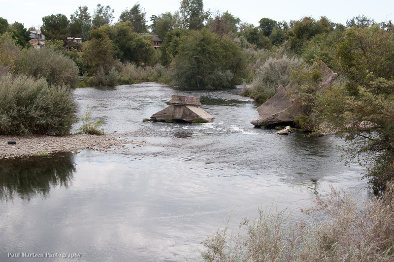
The rest of the river channel is semi dammed by chunks of concrete and the remains of concrete pipes. There is a diversion channel on the left leading a short ways to the gravel mining operation. It appears that the gravel company has dammed the river a little bit to help divert water to their operation.
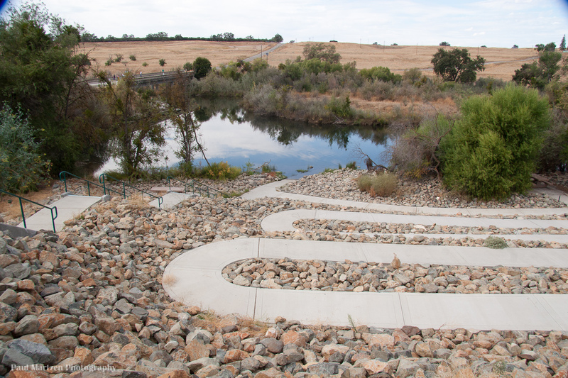
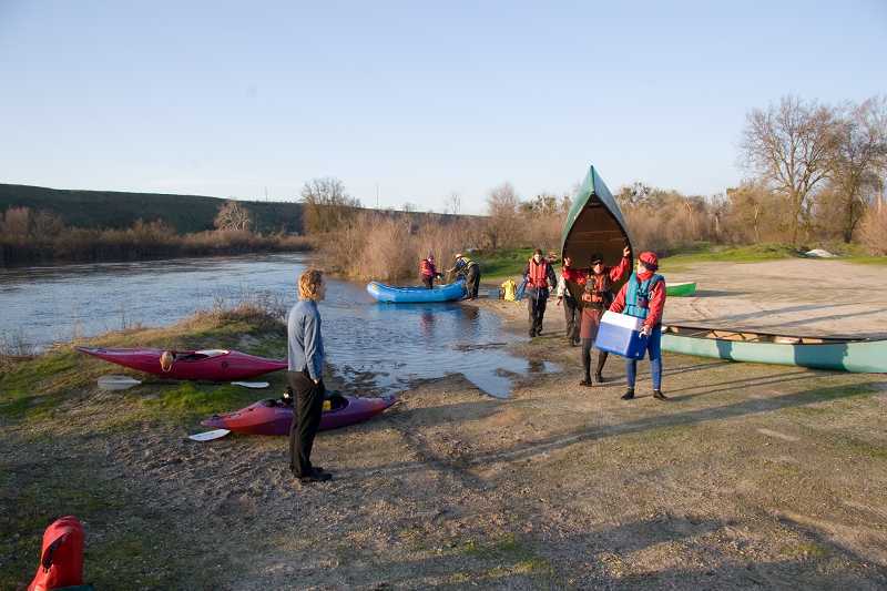
Location
Other Rapids on This Run (20)
 Rapid
N/A
Rapid
N/A
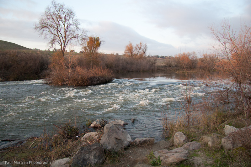
Friant Cove
 Hazard
I
Hazard
I
Broken Bridge
 Playspot
I
Playspot
I
Lost Lake: 1st rapid
 Playspot
II
Playspot
II
Lost Lake: Middle Falls
Rapid
I
Lost Lake: Long Riffle
 Rapid
I
Rapid
I
Ledger Island Riffle (Beaver Riffle)
 Rapid
I
Rapid
I
Concrete Bridge Riffle
Rapid
I
Shady Riffle
 Rapid
I
Rapid
I
Cobb Channel Diversion
Rapid
N/A
Mansion
 Rapid
N/A
Rapid
N/A
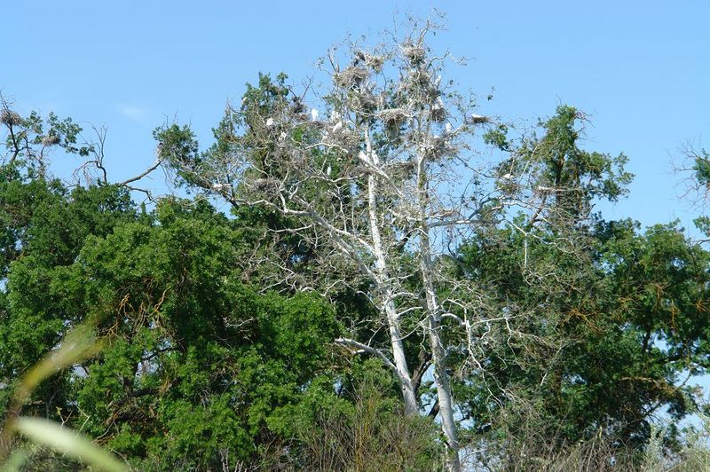
Heron and Egret Rookery
 Hazard
I
Hazard
I
Rookery Riffle
 Rapid
I
Rapid
I
Upper Owl Hollow Riffle
Rapid
N/A
Owl Hollow
 Hazard
I
Hazard
I
Lower Owl Hollow Riffle
 Hazard
I
Hazard
I
Causeway Culvert
 Rapid
I
Rapid
I
Swimmers Riffle
 Rapid
N/A
Rapid
N/A
Ft Washington Beach
 Rapid
I
Rapid
I
Wildwood Riffles
Rapid
I
Wildwood River Access
View Full Run
Friant Dam to Mendota Pool Dam
San Joaquin
I
61.6 mi
Current Conditions
5-Day Forecast
Whitewater data from
American Whitewater
American Whitewater