Gauge Conditions
Runnable: 150.0 – 15,000.0 CFS
Good for canoes and beginners.
Data from American Whitewater & USGS
CDEC Flow Data California
Data from California Data Exchange Center (CDEC)
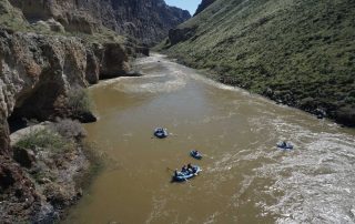
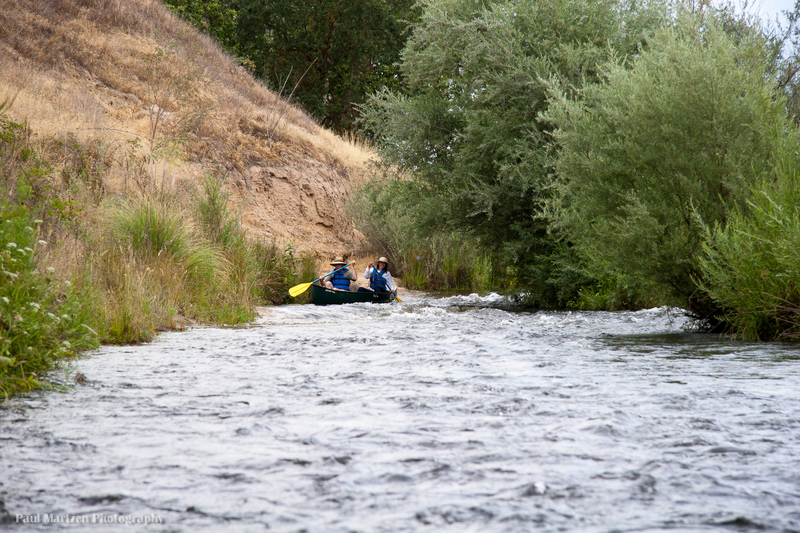
Photo
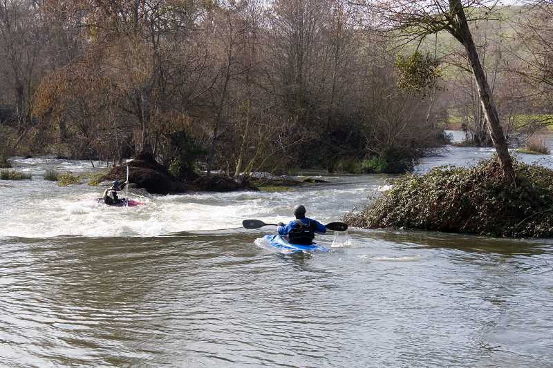
Photo courtesy of American Whitewater
Description
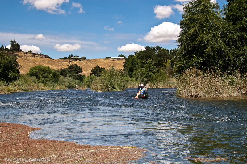
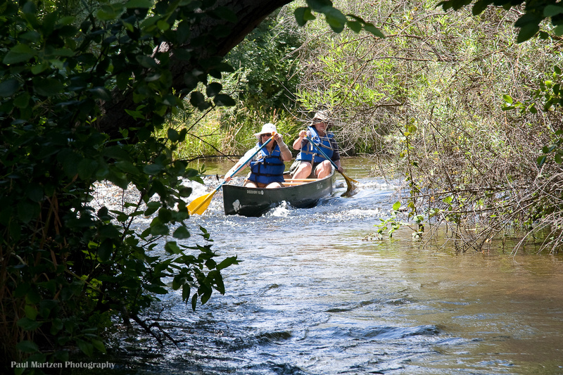
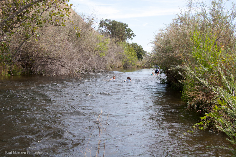
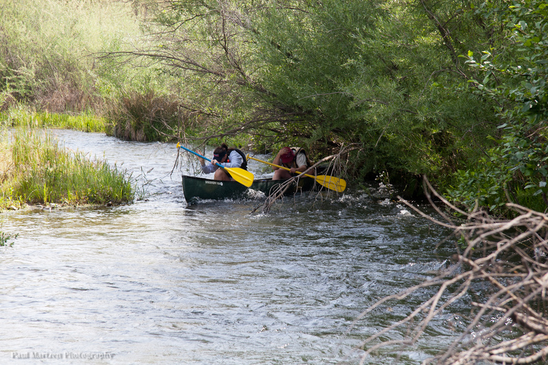
Sometime in the past, small boulders were placed across the river to form this low dam. Trees have grown in along the length creating an interesting wild area. Water drains through in various spots, but two chutes, one at each end, carry most of the flow. The chute at the far river right end is straight enough for canoes, but bumpy enough that flips are common. At the far left side, kayaks can scrape over some rocks to run a slalom route. As flows rise, both routes become better. There can be some minor play potential for kayaks at the base of either side.
Location
Other Rapids on This Run (20)
 Rapid
N/A
Rapid
N/A
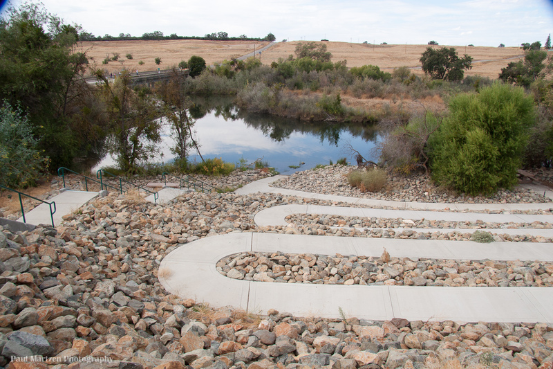
Friant Cove
 Hazard
I
Hazard
I
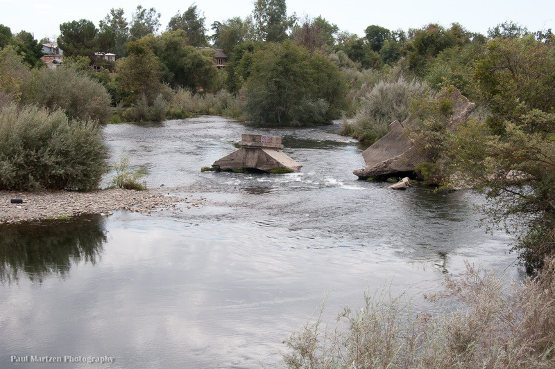
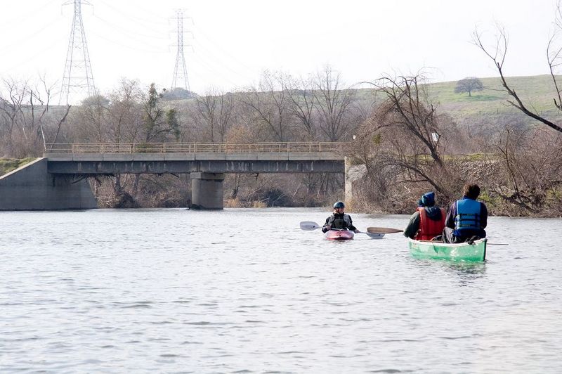
Broken Bridge
 Playspot
I
Playspot
I
Lost Lake: 1st rapid
Rapid
I
Lost Lake: Long Riffle
 Rapid
I
Rapid
I
Ledger Island Riffle (Beaver Riffle)
 Rapid
I
Rapid
I
Concrete Bridge Riffle
Rapid
I
Shady Riffle
 Rapid
I
Rapid
I
Cobb Channel Diversion
Rapid
N/A
Mansion
 Rapid
N/A
Rapid
N/A
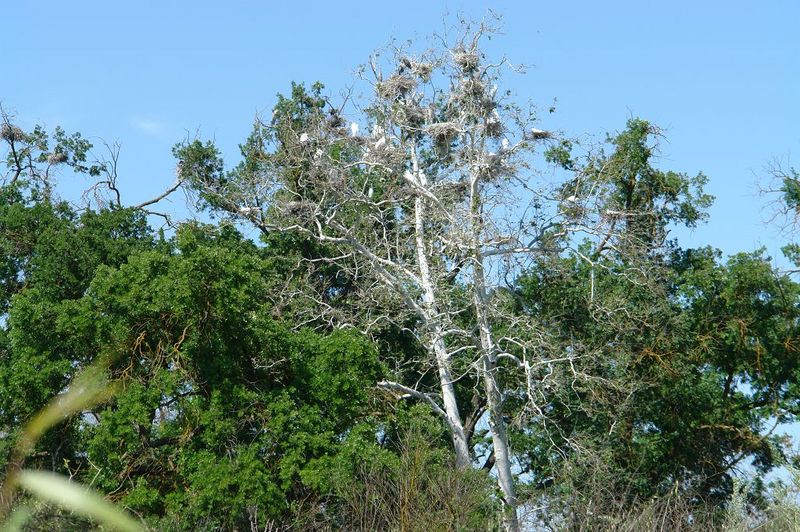
Heron and Egret Rookery
 Hazard
I
Hazard
I
Rookery Riffle
 Rapid
I
Rapid
I
Upper Owl Hollow Riffle
Rapid
N/A
Owl Hollow
 Hazard
I
Hazard
I
Lower Owl Hollow Riffle
 Hazard
I
Hazard
I
Causeway Culvert
 Rapid
I
Rapid
I
Rock and Roll
 Rapid
I
Rapid
I
Swimmers Riffle
 Rapid
N/A
Rapid
N/A
Ft Washington Beach
 Rapid
I
Rapid
I
Wildwood Riffles
Rapid
I
Wildwood River Access
View Full Run
Friant Dam to Mendota Pool Dam
San Joaquin
I
61.6 mi
Current Conditions
5-Day Forecast
Whitewater data from
American Whitewater
American Whitewater