Gauge Conditions
Runnable: ? – ? CFS
Approximate - nearest available gauge. Use as general reference only.
Data from American Whitewater & USGS
Description
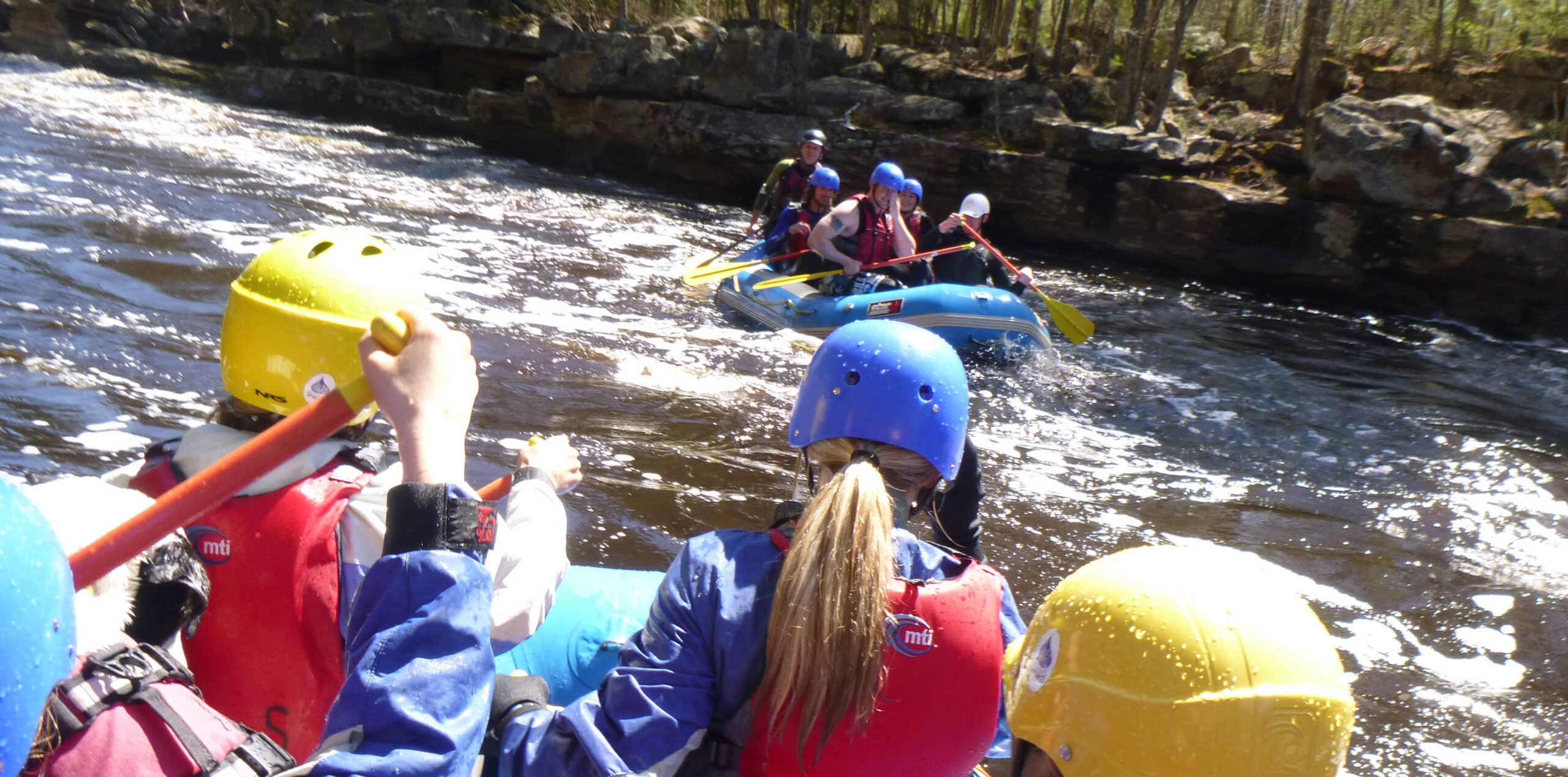
After nearly two miles of flat flowing water (with a few loops and meanders), a large island is encountered (keep right!), and (immediately past it) the confluence with the East Branch Sturgeon River. For what it's worth, while the vast majority of that river is either flatwater or very very mild riffles (class I at best), there is one brief stretch of that stream which has very significant gradient. (See the "East Branch Rapids" below for description.)
Location

View Full Run
CR766 to Hwy.65 (3.4 miles)
Sturgeon
II-III
3.4 mi
Current Conditions
5-Day Forecast
Whitewater data from
American Whitewater
American Whitewater