Gauge Conditions
Runnable: ? – ? CFS
Approximate - nearest available gauge. Use as general reference only.
Data from American Whitewater & USGS
Photo
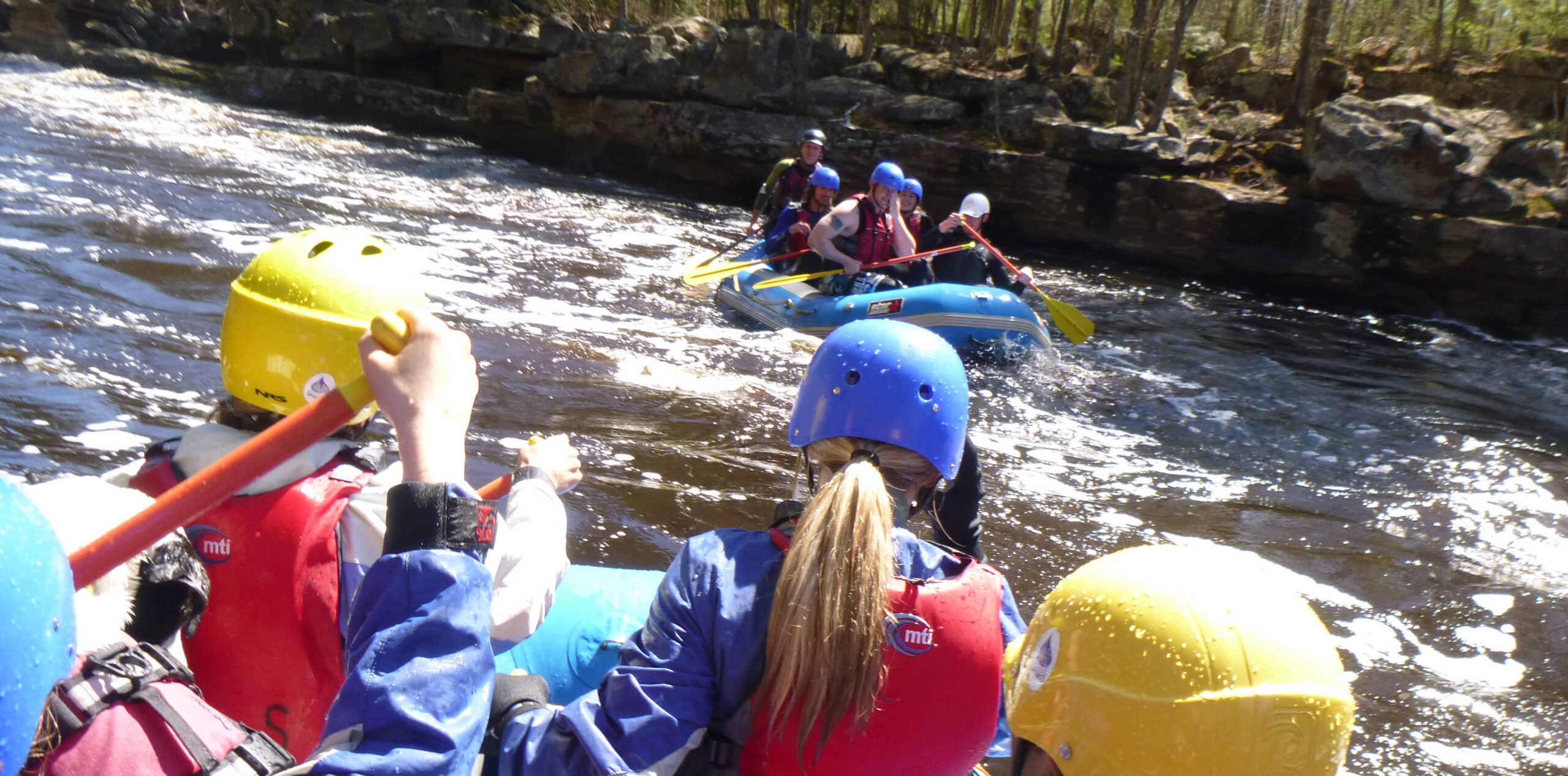
Photo courtesy of American Whitewater
Description
Put In is a relatively straightforward entry point on the Sturgeon River, offering paddlers a clean approach to the initial section with minimal technical challenges. While specific details are limited, the rapid appears to provide a standard launch zone without significant hazards, though local water levels and seasonal conditions can impact navigability.
Location

View Full Run
CR766 to Hwy.65 (3.4 miles)
Sturgeon
II-III
3.4 mi
Current Conditions
5-Day Forecast
Whitewater data from
American Whitewater
American Whitewater