Gauge Conditions
Approximate - nearest available gauge. Use as general reference only.
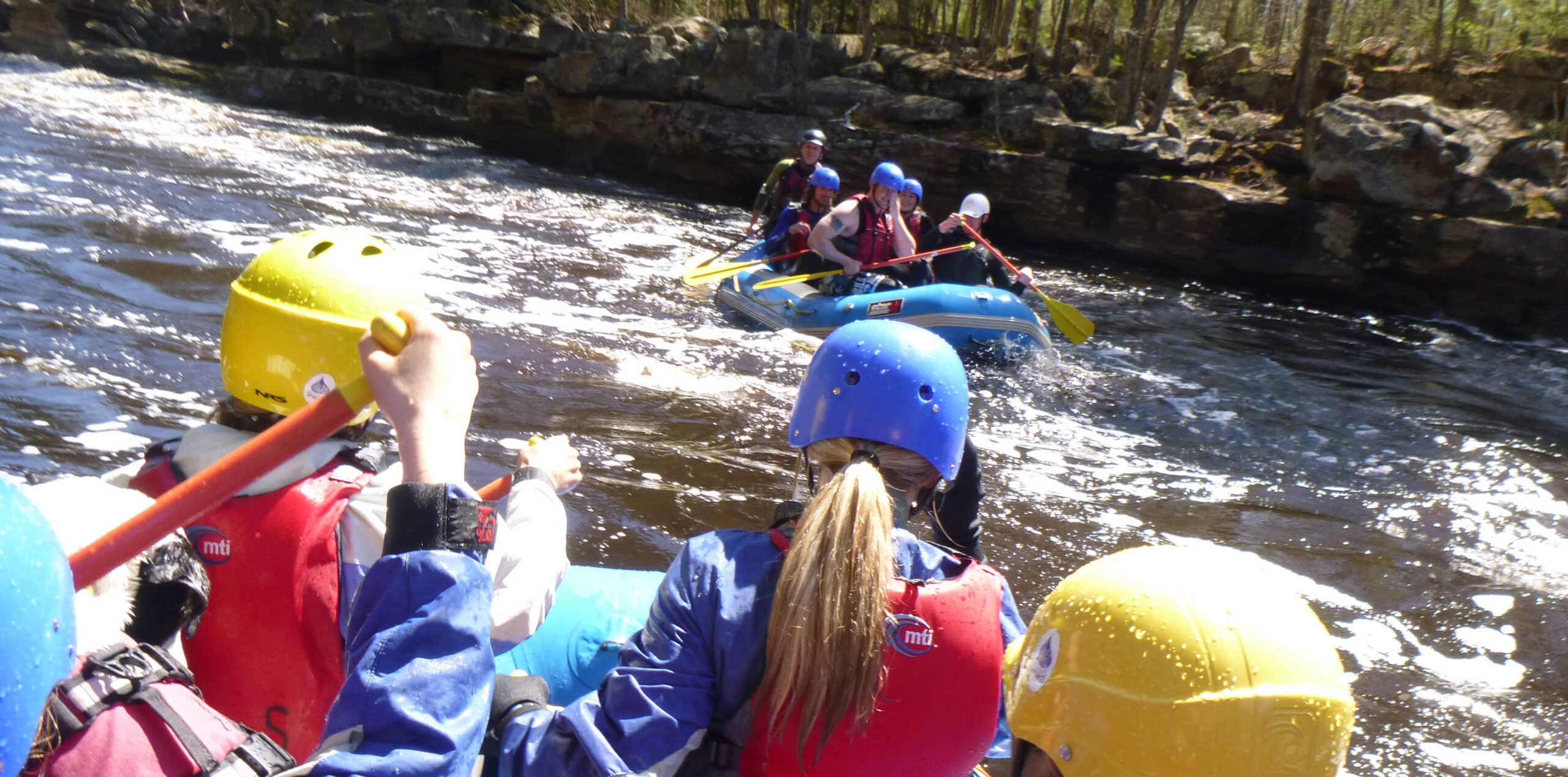
Description
OK, this is a 'bonus' . . . not on the Sturgeon, but on the East Branch Sturgeon. The 'distance' listed here is not distance downstream from the put-in of this (Sturgeon River) section, but the driving distance from the take-out of this run to the turn-off to get to the the start of the short East Branch Rapids section. We have no idea the status of actually getting to the river here. The marker is placed at what appears to be the most straight-forward, obvious route to access the river. It may be possible to get right to the head of the gradient, cutting off 0.3 mile of flatwater.
From the start of the gradient, you'll have a half-mile nearly continuous action, a brief pool (in a left-hairpin turn), then about another tenth-mile of lighter rapids to the bridge at Hwy.73. This makes 2/3rds of a mile with about 40' of drop, for 60FPM equivalent. If it proves possible (accessible) and if it proves interesting (as it appears on aerial views), it may be worth doing laps!
Location

Current Conditions
5-Day Forecast
American Whitewater