Gauge Conditions
Runnable: ? – ? CFS
Approximate - nearest available gauge. Use as general reference only.
Data from American Whitewater & USGS
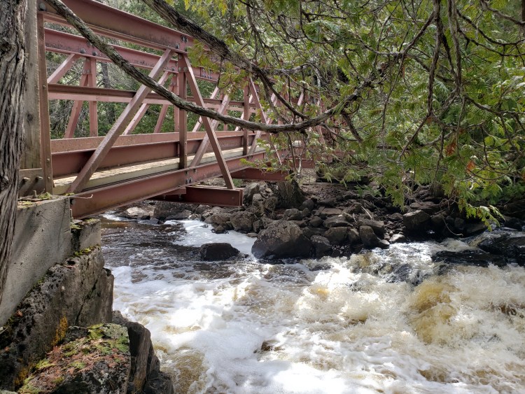
Photo
Photo courtesy of American Whitewater
Description
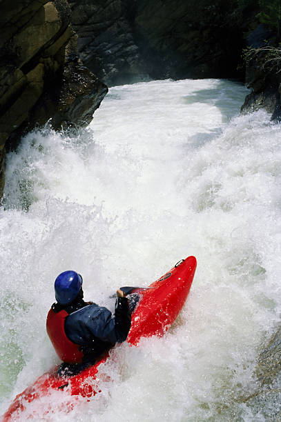
Take Out is a terminal rapid marking the end of the Manitou River run, characterized by potential debris and narrowing channel conditions that require careful navigation. Paddlers should be alert for shifting rocks and potential strainers near the takeout point, with the line typically following the main current to avoid potential hazards.
Location
Other Rapids on This Run (10)


View Full Run
A) E.General Grade Road/362 to Cty.7 (9.2 miles)
Manitou
II-III(IV)
9.4 mi
Current Conditions
5-Day Forecast
Whitewater data from
American Whitewater
American Whitewater