Gauge Conditions
Runnable: 100.0 – 1,200.0 CFS
Possibly tame whitewater. *HELP YOUR FELLOW BOATERS BY PROVIDING A COMMENT ABOUT GAUGE READING AND BEST RANGES FOR BOATABILITY*
Data from American Whitewater & USGS
Description
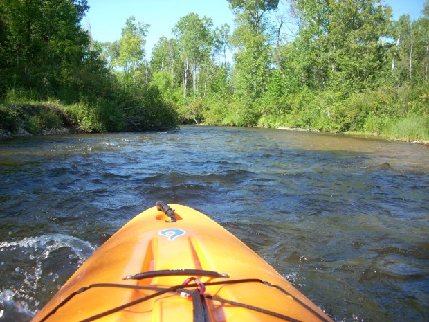
Again, satellite/aerial view (as of this writing) shows an accumulation of woody debris at this location blocking the right-half of the river. These may accumulate more wood, blocking the whole river or could be flushed out (or cut out) at some point. In either case, we can also assume this location (as numerous others) may be prone to collect wood at any time. Again, alert paddling (especially around tight bends, where you may not be able to see very far ahead) will be required at all times, and especially at elevated flows.
Location
Other Rapids on This Run (20)
Rapid
N/A
Put In
Rapid
N/A
Possible Put-in?
Rapid
N/A
Alternate Put-in #1
Rapid
N/A
Trowbridge Road
Rapid
N/A
Interstate 75
Rapid
N/A
Trowbridge Road
Rapid
N/A
Freeway Trail
Rapid
N/A
Sturgeon Valley Campground
Rapid
N/A
Possible obstruction/feature?
Rapid
N/A
Nomisteco Rd
Rapid
N/A
Deadfall?
Playspot
N/A
Confluence with West Branch
Rapid
N/A
USGS Gauge: 192 sq.mi.
Rapid
N/A
Possible Access
Rapid
N/A
Zig-Zag Snag
Rapid
N/A
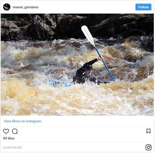
Caught in the act!
Rapid
N/A
Haakwood State Forest Campground
 Rapid
N/A
Rapid
N/A
Rondo Road
Rapid
N/A
North Central State Trailhead
 Rapid
N/A
Rapid
N/A
White Road
View Full Run
Trowbridge Road to Indian River (up to 20.5 miles)
Sturgeon (Cheboygan)
I-II
18.8 mi
Current Conditions
5-Day Forecast
Whitewater data from
American Whitewater
American Whitewater