Gauge Conditions
Runnable: 100.0 – 1,200.0 CFS
Possibly tame whitewater. *HELP YOUR FELLOW BOATERS BY PROVIDING A COMMENT ABOUT GAUGE READING AND BEST RANGES FOR BOATABILITY*
Data from American Whitewater & USGS
Description
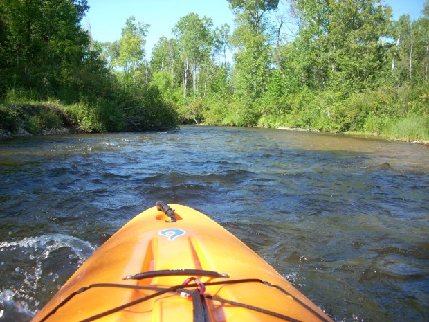
The Put In rapid serves as the entry point for a lengthy stretch of the Sturgeon River between Trowbridge Road and Indian River, offering paddlers an initial navigation challenge. While specific difficulty ratings are not established for this section, paddlers should be prepared for potential obstacles and variable water conditions typical of Michigan's northern rivers. Careful scouting and local knowledge are recommended before attempting this river segment.
Location
Other Rapids on This Run (20)
Rapid
N/A
Possible Put-in?
Rapid
N/A
Alternate Put-in #1
Rapid
N/A
Trowbridge Road
Rapid
N/A
Interstate 75
Rapid
N/A
Trowbridge Road
Rapid
N/A
Freeway Trail
Rapid
N/A
Sturgeon Valley Campground
Rapid
N/A
Possible obstruction/feature?
Rapid
N/A
Nomisteco Rd
Rapid
N/A
Deadfall?
Playspot
N/A
Confluence with West Branch
Rapid
N/A
USGS Gauge: 192 sq.mi.
Rapid
N/A
Deadfall?
Rapid
N/A
Possible Access
Rapid
N/A
Zig-Zag Snag
Rapid
N/A
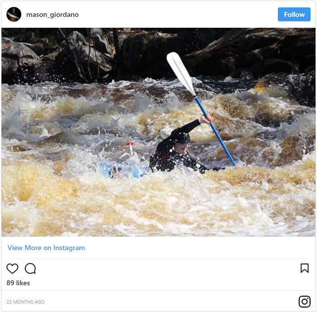
Caught in the act!
Rapid
N/A
Haakwood State Forest Campground
 Rapid
N/A
Rapid
N/A
Rondo Road
Rapid
N/A
North Central State Trailhead
 Rapid
N/A
Rapid
N/A
White Road
View Full Run
Trowbridge Road to Indian River (up to 20.5 miles)
Sturgeon (Cheboygan)
I-II
18.8 mi
Current Conditions
5-Day Forecast
Whitewater data from
American Whitewater
American Whitewater