Gauge Conditions
Data from American Whitewater & USGS
CDEC Flow Data California
Data from California Data Exchange Center (CDEC)
Description
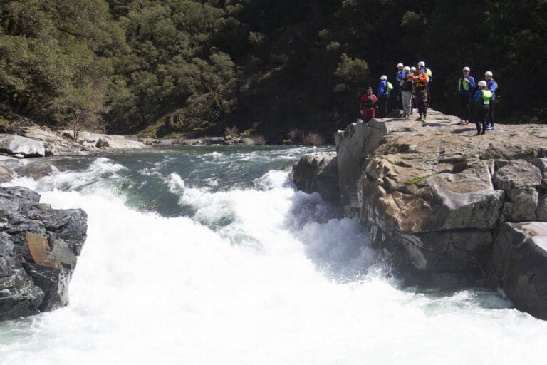
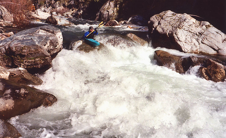
When you see Downie Creek enter river right, you are in Downieville. Cross under the first bridge and takeout river right.
Location
View Full Run
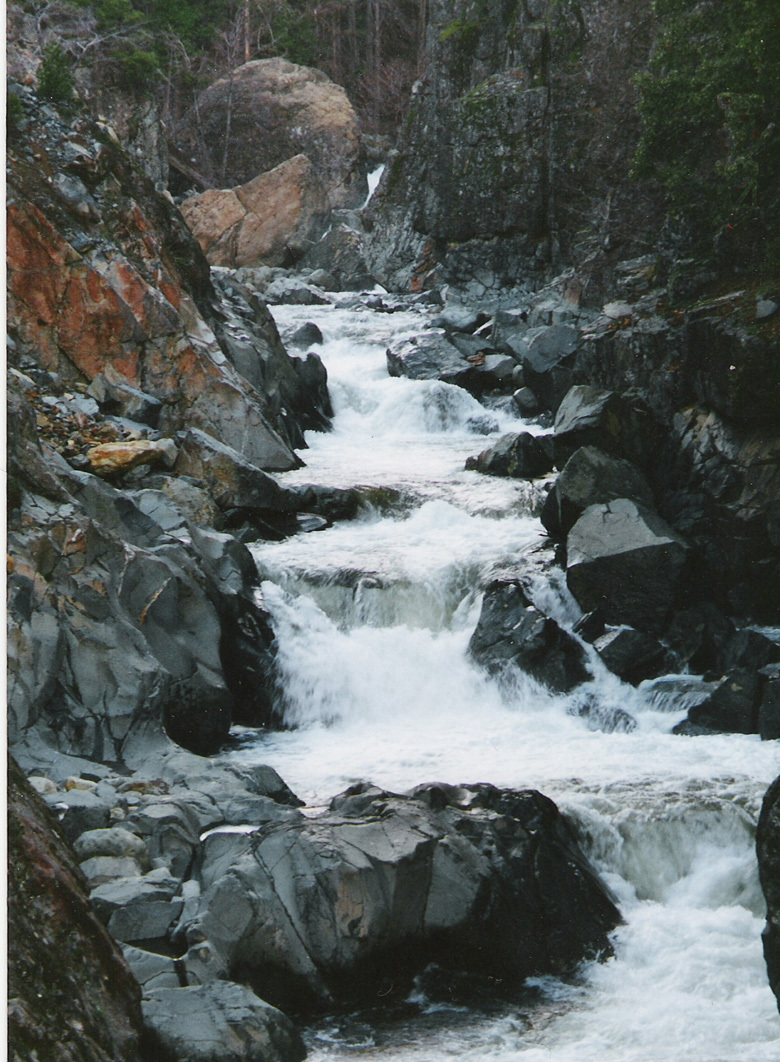
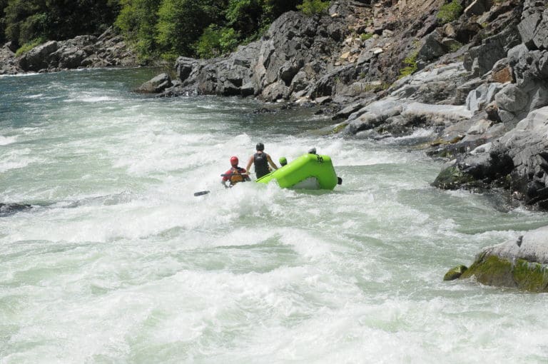
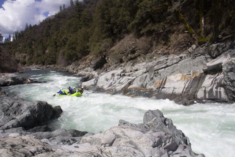
1. Wild Plum Campground to Downieville
Yuba, North
IV-V
14.5 mi
Current Conditions
5-Day Forecast
Whitewater data from
American Whitewater
American Whitewater