Gauge Conditions
Data from American Whitewater & USGS
CDEC Flow Data California
Data from California Data Exchange Center (CDEC)
Description
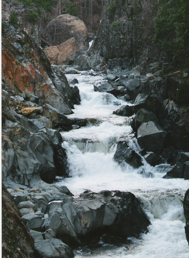
Travel HWY 49 North East from Downieville for 12 miles to Sierra City. Continue uphill through Sierra City and turn right following signs to Wild Plum Campground. Put-in is available at first bridge crossing 1/2 mile from HWY 49.
Location
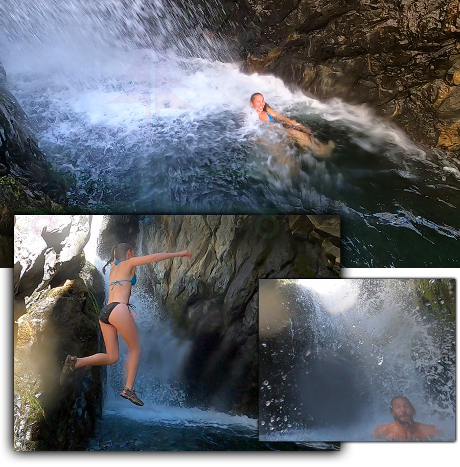
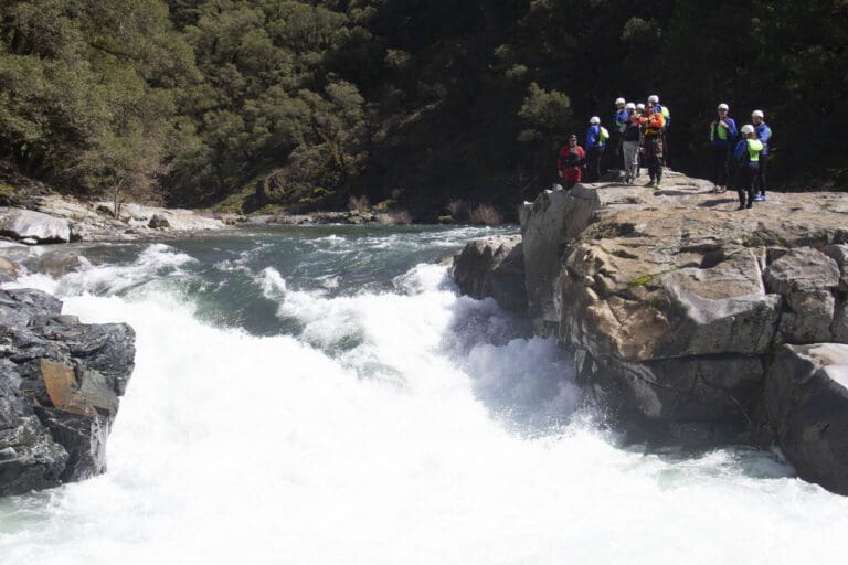
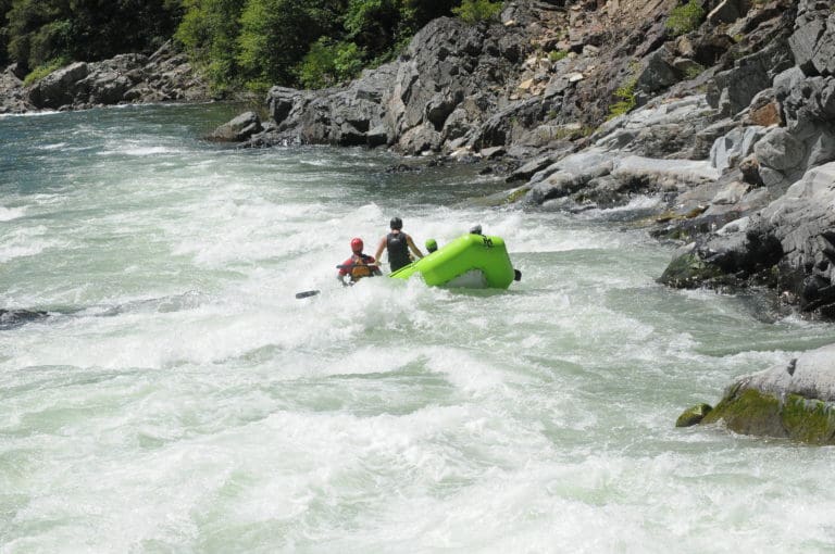
Other Rapids on This Run (11)
View Full Run
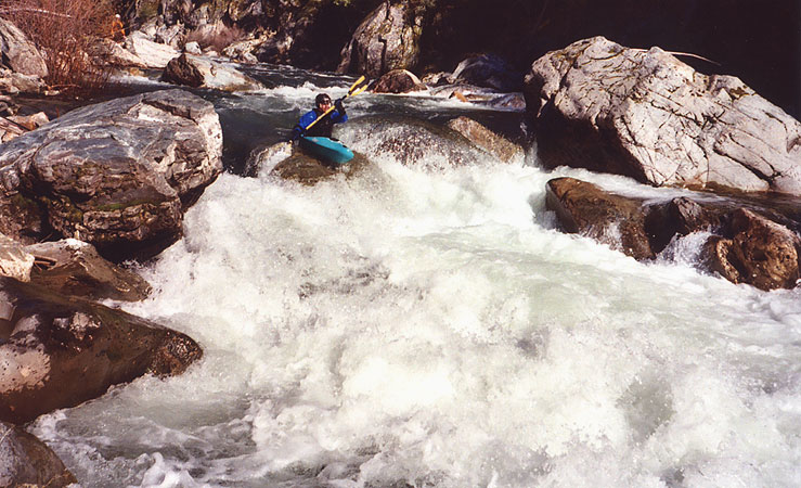
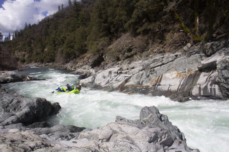
1. Wild Plum Campground to Downieville
Yuba, North
IV-V
14.5 mi
Current Conditions
5-Day Forecast
Whitewater data from
American Whitewater
American Whitewater