Take-out
WA
Downstream of Six Mile Bridge Take-Out
Dosewallips - 2. Elkhorn Campground to Six Mile Bridge (WA)
Gauge Conditions
Runnable: 225.0 – 2,000.0 CFS
Data from American Whitewater & USGS
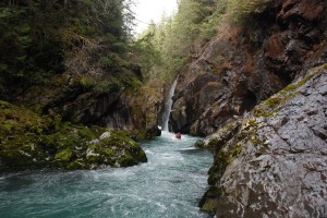
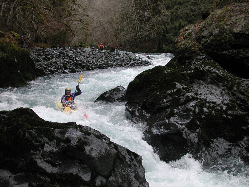
Photo
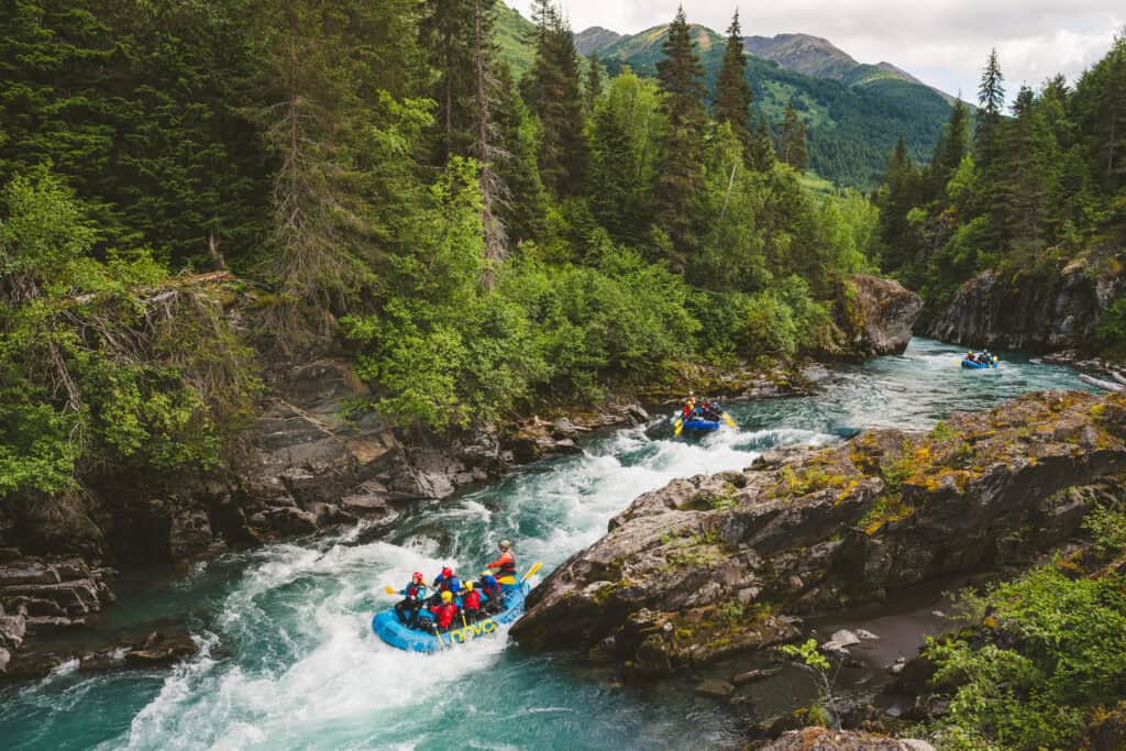
Photo courtesy of American Whitewater
Description
The take-out is located on river right just downstream of the Six Mile Bridge on the short Forest Road 2610-010 spur along river right. Please don't access the river at the bridge which is private property. It's a short walk on the old 2610-010 road alignment to the river down this abandoned spur that takes you to the river shoreline and good lowbank access on public Forest Service land.
Location
View Full Run
2. Elkhorn Campground to Six Mile Bridge
Dosewallips
III-IV+
5.4 mi
Current Conditions
5-Day Forecast
Whitewater data from
American Whitewater
American Whitewater