Take-out
WI
Take-out, or continuing downstream ...
Eau Claire (Wisconsin R. trib) - A) Spring Brook Bridge (Nolan Rd) to Hwy.52 (2.8 miles) (WI)
Gauge Conditions
Runnable: 1.8 – 4.0 FT
Almost certainly way too low.
Data from American Whitewater & USGS
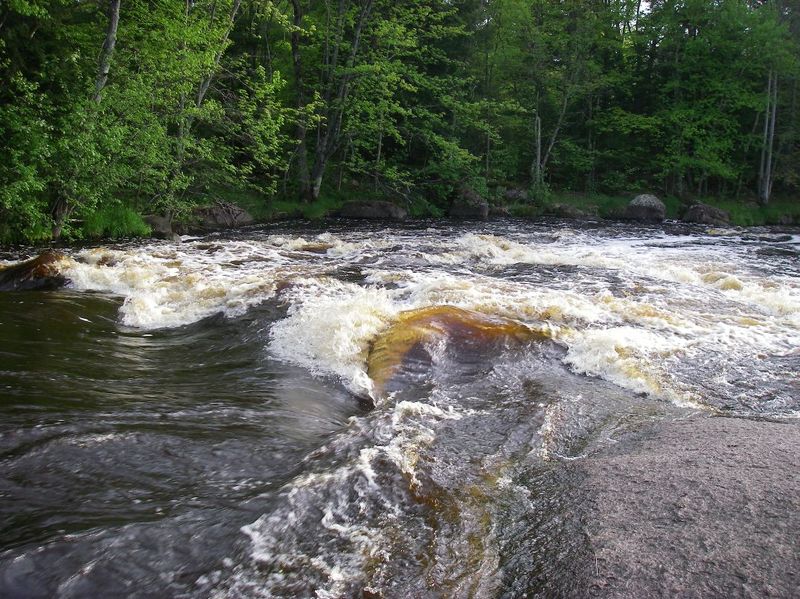
Photo
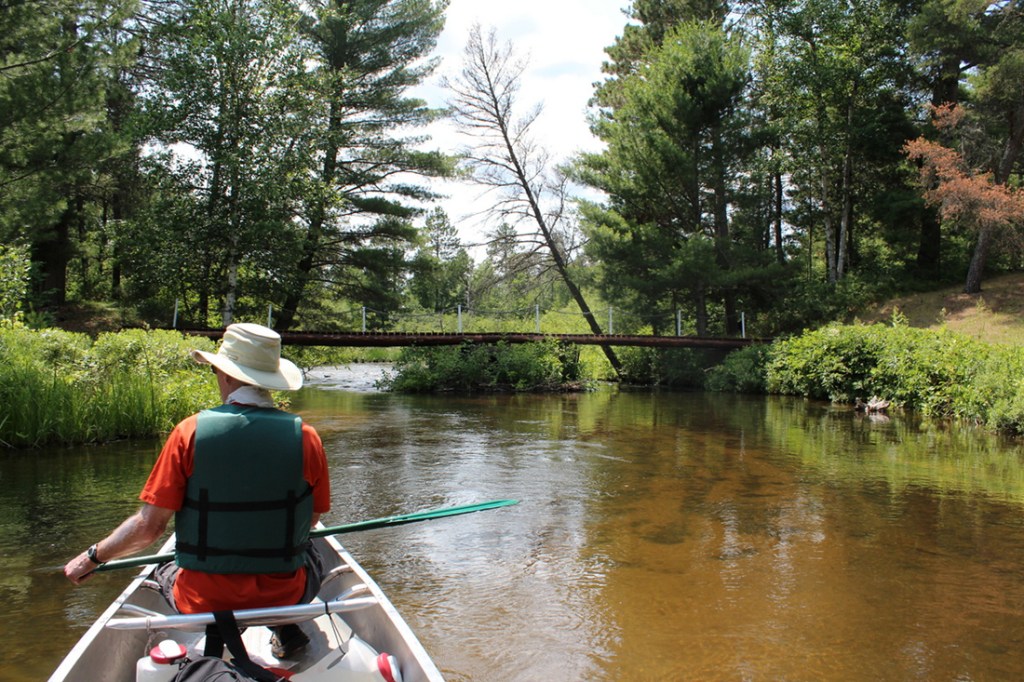
Photo courtesy of American Whitewater
Description
Boaters interested in the briefest, most concentrated trip and generally best rapids on the upper stretch of this river will likely take out at Hwy.52.
Boaters wanting a longer run may continue downstream to the parking area above the dam in Eau Claire Dells County Park.This will add very nearly 4 miles, mostly flatwater, but with some areas of boulder-gardens (likely class I rock-dodges, though at some flows perhaps a couple class II-ish rapids).(I will confess, I've never paddled that four miles. The above characterization is based solely on aerial views from Google Maps. Anyone who has paddled that section of river is encouraged to either confirm the above or provide better description!)
Boaters wanting a longer run may continue downstream to the parking area above the dam in Eau Claire Dells County Park.This will add very nearly 4 miles, mostly flatwater, but with some areas of boulder-gardens (likely class I rock-dodges, though at some flows perhaps a couple class II-ish rapids).(I will confess, I've never paddled that four miles. The above characterization is based solely on aerial views from Google Maps. Anyone who has paddled that section of river is encouraged to either confirm the above or provide better description!)
Location
Other Rapids on This Run (4)
View Full Run
A) Spring Brook Bridge (Nolan Rd) to Hwy.52 (2.8 miles)
Eau Claire (Wisconsin R. trib)
II
2.9 mi
Current Conditions
5-Day Forecast
Whitewater data from
American Whitewater
American Whitewater