Entrance Exam, aka Butthole Surfer
Kings - 1. Middle, S. Fork confluence to Garnet Dike Campground (CA)
Gauge Conditions
Runnable: ? – ? CFS
Approximate - nearest available gauge. Use as general reference only.
Data from American Whitewater & USGS
CDEC Flow Data California
Data from California Data Exchange Center (CDEC)
Description
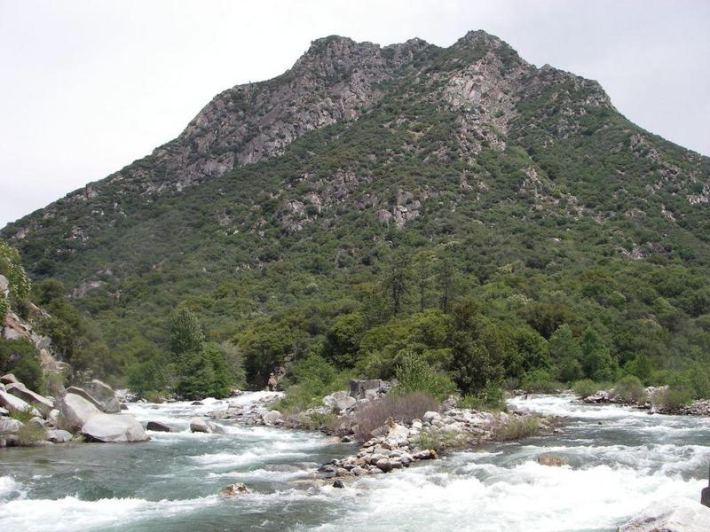
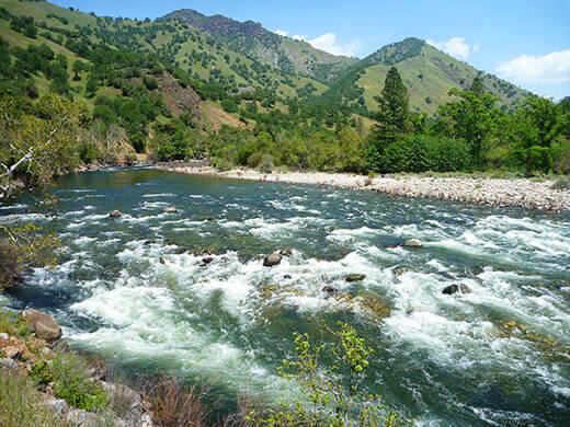
The river is pinched between cliffs on the left and a debris field of large boulders on the right. Look for avalanche signs and chutes on the river right hillsides to get an inkling of where the debris came from.
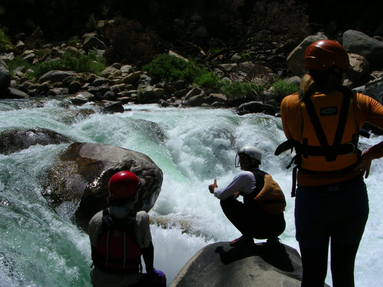
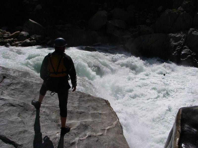
The rapid starts off with a steep chute aimed at the left wall. Jog to the right and then run the main drop in the center. There is a big eddy on the right above the main drop which puts you in a good position and allows you to see the rest of the run fairly well. The second half of the rapid consists of a bunch of hole dodging. Running to the left of most of them seems to work fairly well.
At high flows the route is just to fight through huge nasty holes for a hundred yards or so. Sneak routes may open up on the far right.
Scout on either side. Portage is probably easier on the right.
Location
Other Rapids on This Run (14)
 Rapid
Rapid
Confluence of Middle & South Forks Kings
 Rapid
IV
Rapid
IV
10 Mile Creek Rapid
 Rapid
Rapid
Big Long Rapid
 Rapid
Rapid
Grizzly
 Rapid
Rapid
The Wall
 Rapid
Rapid
Warp 2
 Rapid
Rapid
Cassady Falls
 Rapid
Rapid
That's Dumb
 Rapid
Rapid
Rough Creek
 Rapid
Rapid
Garlic Creek
 Rapid
Rapid
Little Hand of God
 Rapid
V
Rapid
V
Hand of God
 Rapid
IV
Rapid
IV
Converse Creek Rapid
 Rapid
N/A
Rapid
N/A
Take Out
View Full Run
1. Middle, S. Fork confluence to Garnet Dike Campground
Kings
V
9.9 mi
Current Conditions
5-Day Forecast
Whitewater data from
American Whitewater
American Whitewater