Gauge Conditions
Runnable: ? – ? CFS
Approximate - nearest available gauge. Use as general reference only.
Data from American Whitewater & USGS
CDEC Flow Data California
Data from California Data Exchange Center (CDEC)
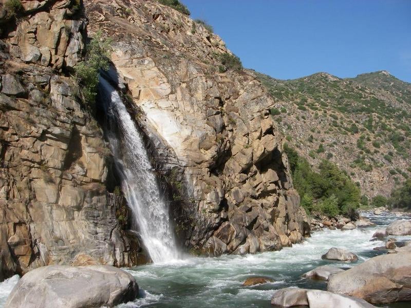
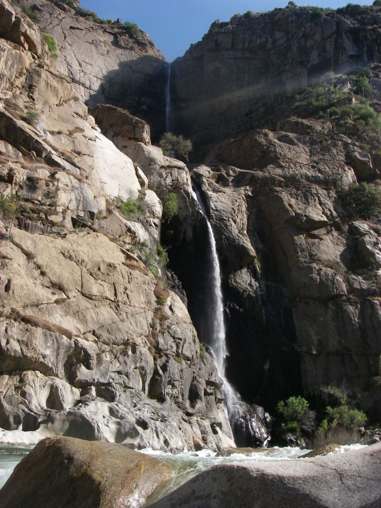
Photo

Photo courtesy of American Whitewater
Description
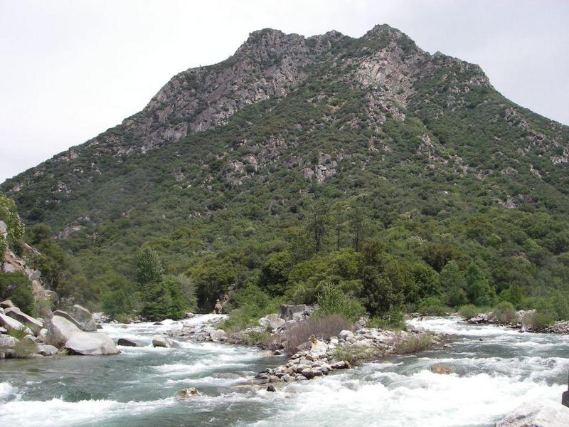
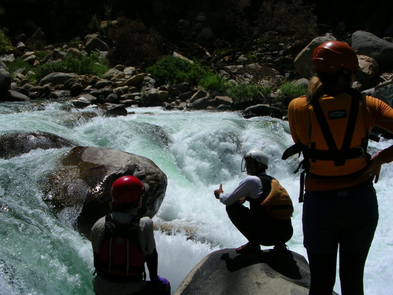
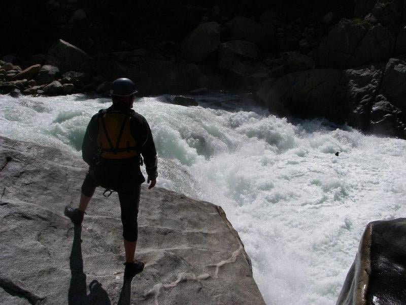
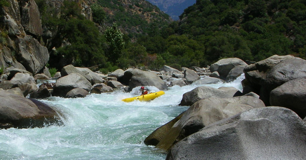
Boulders fill up the left side of the canyon and constrict the river against the right wall which is a large and beautiful cliff. The main channel runs against this wall. Boulders guard the entrance creating several steep chutes leading into the main chute. Strong diagonal waves on the left try to push boats into the wall which is slightly undercut in spots. Paddlers must punch two large ledges halfway through the chute. The run out splits around some large boulders and contains further though lesser difficulties.
Kayakers can enter on the far right at the top putting them in proper orientation to punch the diagonal and then run the ledges on the left. Rafts have a bit tougher time.
Kayakers can enter on the far right at the top putting them in proper orientation to punch the diagonal and then run the ledges on the left. Rafts have a bit tougher time.
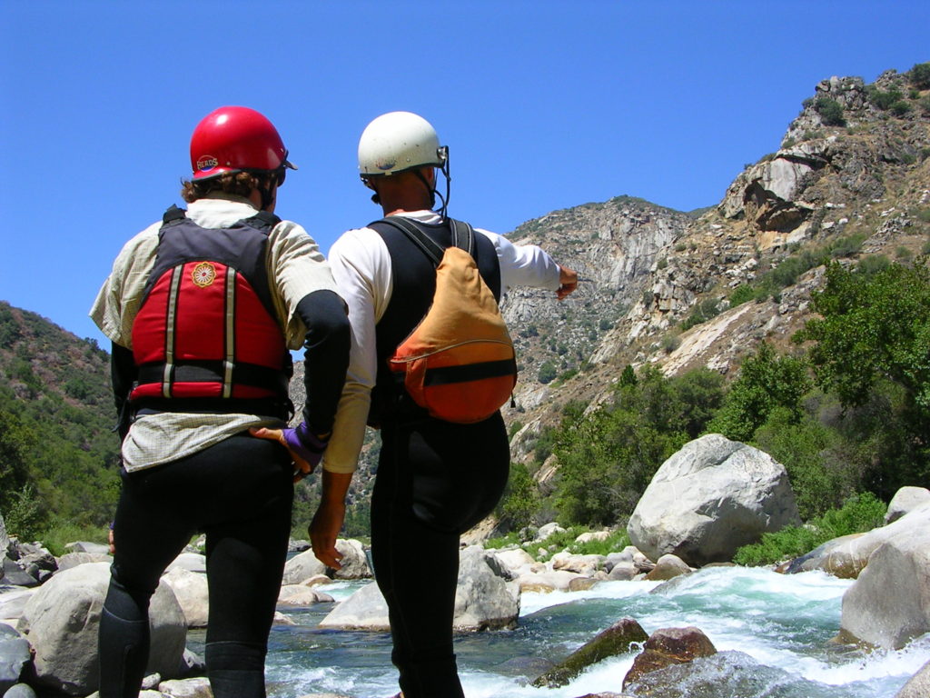
Location
Other Rapids on This Run (14)
 Rapid
Rapid
Confluence of Middle & South Forks Kings
 Rapid
IV
Rapid
IV
10 Mile Creek Rapid
Rapid
V
Entrance Exam, aka Butthole Surfer
 Rapid
Rapid
Big Long Rapid
 Rapid
Rapid
Grizzly
 Rapid
Rapid
Warp 2
 Rapid
Rapid
Cassady Falls
 Rapid
Rapid
That's Dumb
 Rapid
Rapid
Rough Creek
 Rapid
Rapid
Garlic Creek
 Rapid
Rapid
Little Hand of God
 Rapid
V
Rapid
V
Hand of God
 Rapid
IV
Rapid
IV
Converse Creek Rapid
 Rapid
N/A
Rapid
N/A
Take Out
View Full Run
1. Middle, S. Fork confluence to Garnet Dike Campground
Kings
V
9.9 mi
Current Conditions
5-Day Forecast
Whitewater data from
American Whitewater
American Whitewater