First gradient
Peshekee, W.Br. - Unnamed road to Peshekee River ( 2-4.7 miles) (MI)
Gauge Conditions
Likely low, posibly boatable. (150-200cfs). (Help your fellow boaters with a comment or report of gauge reading and runnability/difficulty of this run.)
Description
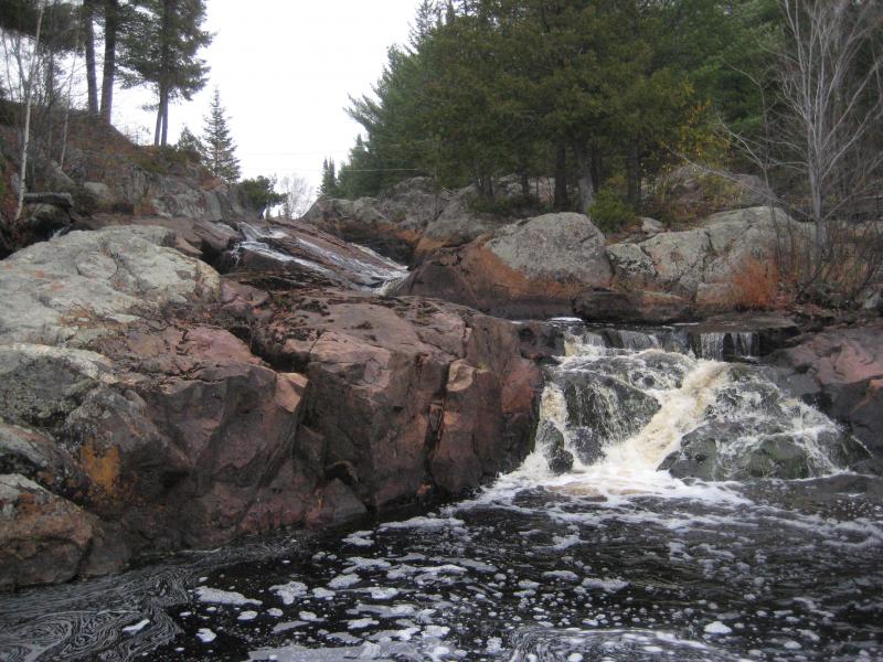
The first bit of gradient occurs here. It appears to be mostly just a quick chute, likely class II at best. Downstream are many miles of meandering river, so putting in this far up and catching this drop is likely only if access right at Dee Lundeen falls is unavailable (I.E., disputed due to private property.)
Best I can tell from topos available online, overall gradient for the run as listed may be only about 20 FPM due to the extended flatwater stretches. If access is not disputed (or if permission is obtained), it may be more likely to just do a park-and-huck for Dee Lundeen Falls.
Location
Current Conditions
5-Day Forecast
American Whitewater