Gauge Conditions
Primary
Runnable: 80.0 – 300.0 CFS
Likely low, posibly boatable. (150-200cfs). (Help your fellow boaters with a comment or report of gauge reading and runnability/difficulty of this run.)
Data from American Whitewater & USGS
Photo
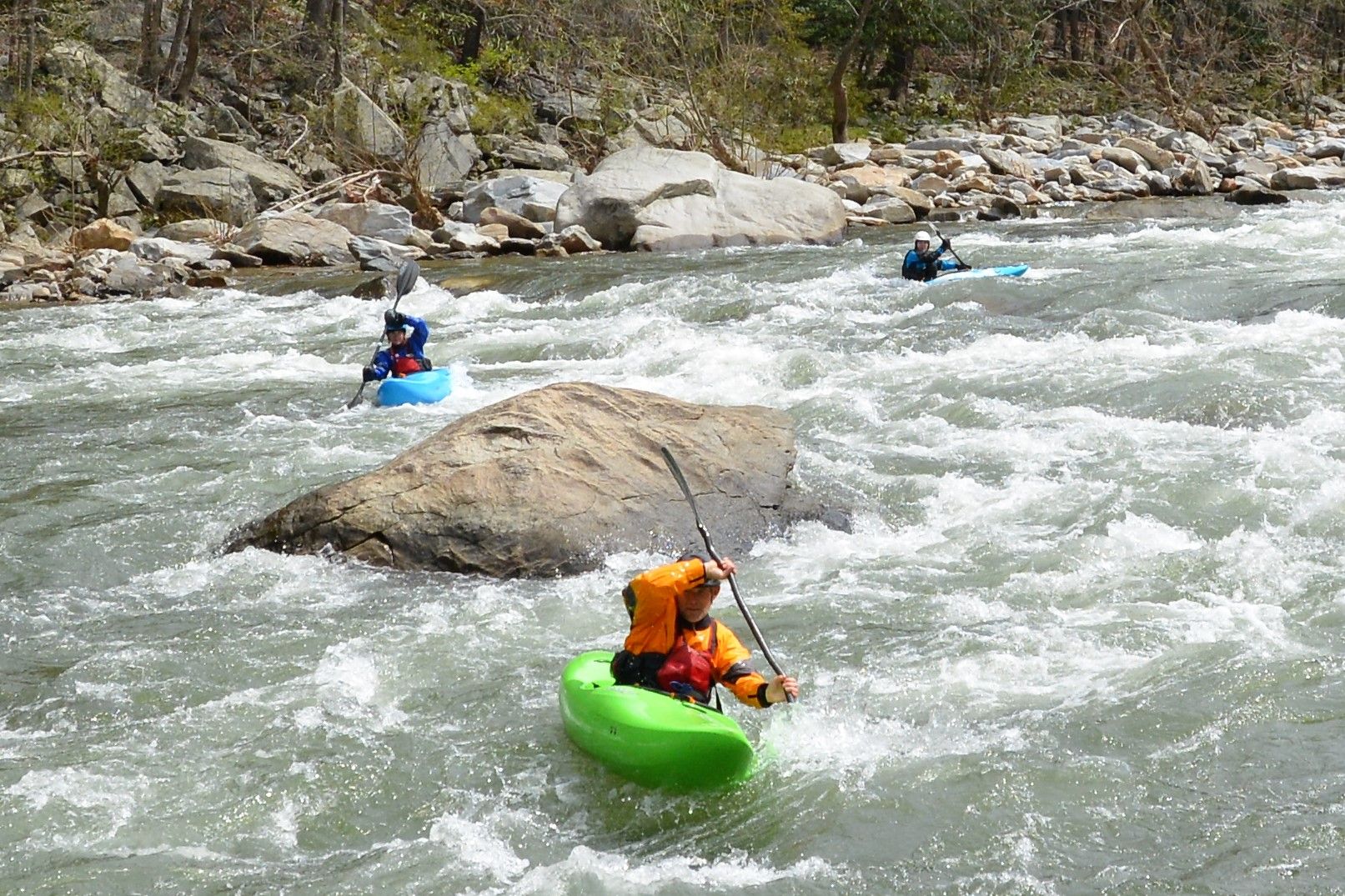
Photo courtesy of American Whitewater
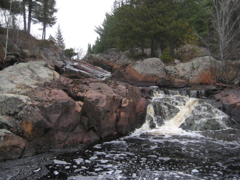
Description
Take Out is a terminal rapid marking the end of the Peshekee River's runnable section, characterized by a potential debris field and potential log strainers near the exit point. Paddlers should carefully scout the final approach and be prepared for potential obstacles that could impede a clean exit from the river.
Location
View Full Run
Unnamed road to Peshekee River ( 2-4.7 miles)
Peshekee, W.Br.
II-IV
4.3 mi
Current Conditions
5-Day Forecast
Whitewater data from
American Whitewater
American Whitewater