Gauge Conditions
Primary
Runnable: 80.0 – 300.0 CFS
Likely low, posibly boatable. (150-200cfs). (Help your fellow boaters with a comment or report of gauge reading and runnability/difficulty of this run.)
Data from American Whitewater & USGS
Photo
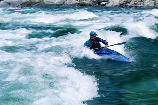
Photo courtesy of American Whitewater
Description
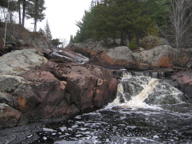
The Put In rapid on Michigan's West Branch Peshekee River serves as the entry point for this section, offering paddlers an initial navigation challenge with potential boulder-strewn entry and potential tight line selections. While specific difficulty details are limited, paddlers should approach with caution and conduct a careful scouting of the entry point and initial water conditions before committing to the run.
Location
View Full Run
Unnamed road to Peshekee River ( 2-4.7 miles)
Peshekee, W.Br.
II-IV
4.3 mi
Current Conditions
5-Day Forecast
Whitewater data from
American Whitewater
American Whitewater