Gauge Conditions
Runnable: ? – ? CFS
Approximate - nearest available gauge. Use as general reference only.
Data from American Whitewater & USGS
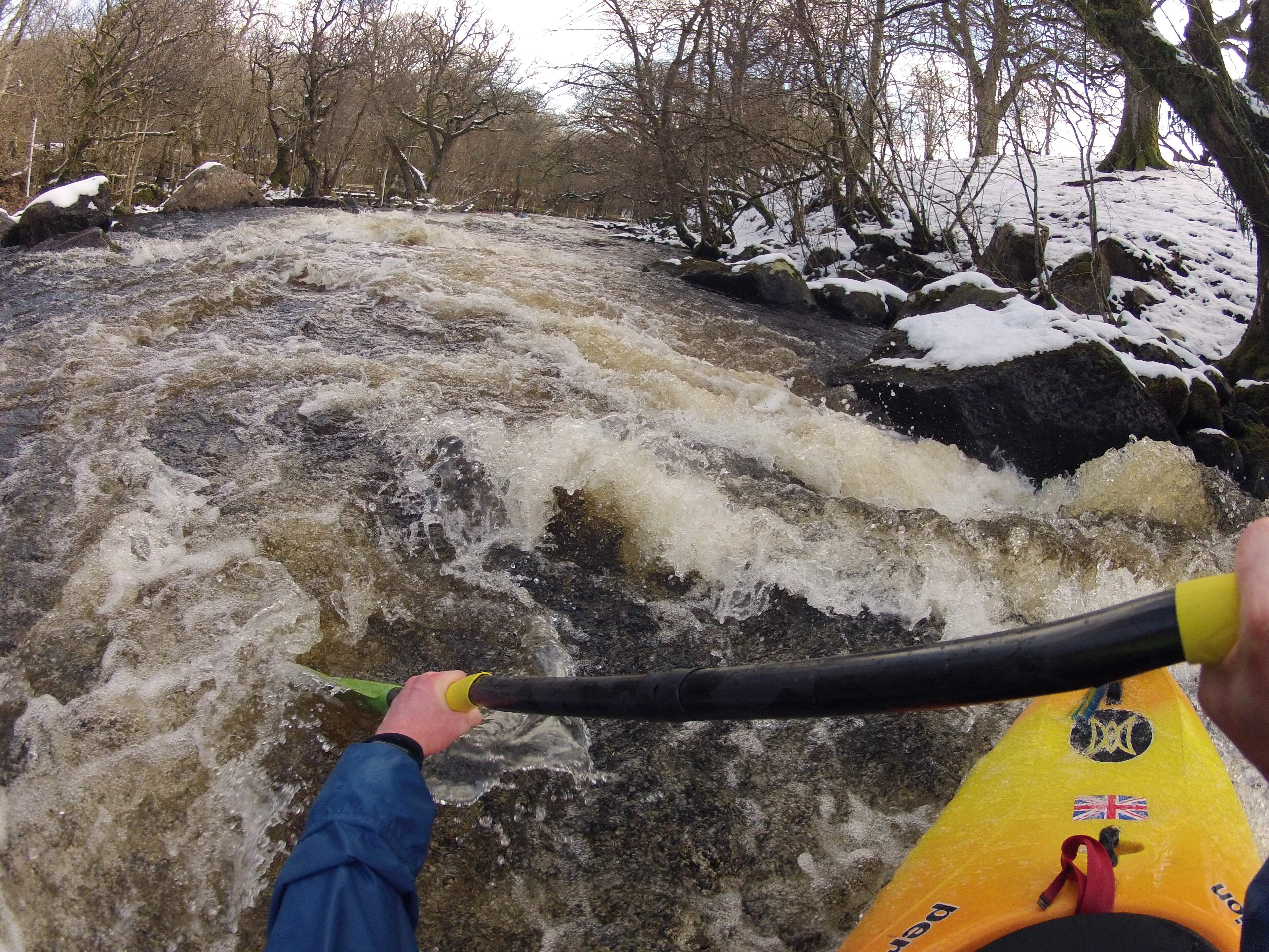
Photo

Photo courtesy of American Whitewater
Description
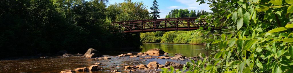
Take Out rapid marks the conclusion of this Poplar River section, characterized by a straightforward exit point with minimal technical challenges. Paddlers should be aware of potential debris or shallow areas near the river's edge when approaching the takeout, and maintain situational awareness to ensure a safe egress from the water.
Location


View Full Run
B) Barker Lake Road to Superior Hiking Trail (4.5-6.8 miles)
Poplar
II
6.4 mi
Current Conditions
5-Day Forecast
Whitewater data from
American Whitewater
American Whitewater