Gauge Conditions
Runnable: ? – ? CFS
Approximate - nearest available gauge. Use as general reference only.
Data from American Whitewater & USGS
CDEC Flow Data California
Data from California Data Exchange Center (CDEC)
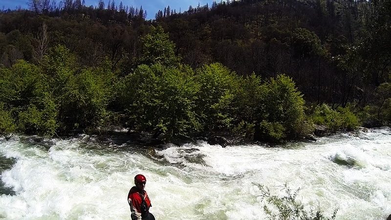
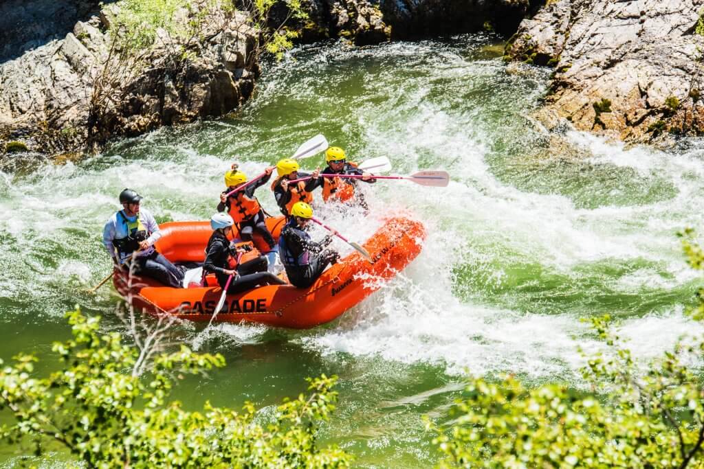
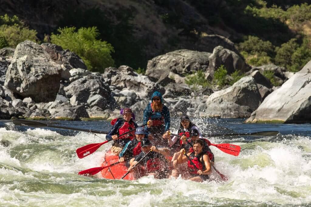
Photo
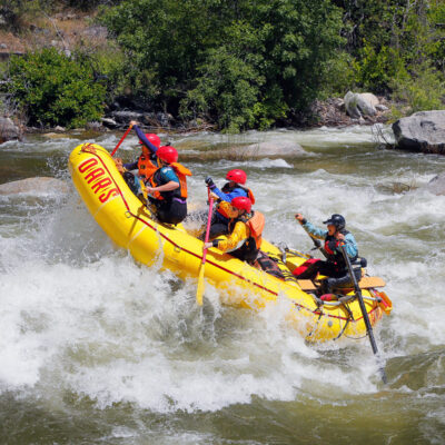
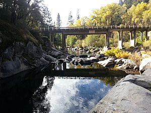
Photo courtesy of American Whitewater
Description
Take Out marks the end of the Ponderosa Way to Electra Picnic Area section, signaling the final challenge before the takeout point. While specific details about the rapid's features are limited, paddlers should be prepared for potential river conditions and carefully scout the exit point to ensure a safe extraction from the water.
Location
Other Rapids on This Run (12)


View Full Run
4. Ponderosa Way to Electra Picnic area
Mokelumne
II-III
3.1 mi
Current Conditions
5-Day Forecast
Whitewater data from
American Whitewater
American Whitewater