Gauge Conditions
Runnable: 1,000.0 – 20,000.0 CFS
Flow range for best boatability uncertain. Please help your fellow boaters with a comment or report.
Data from American Whitewater & USGS
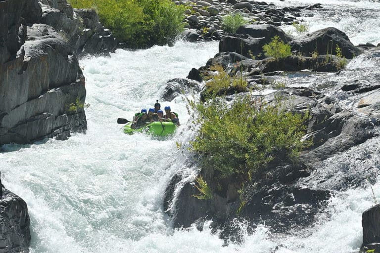
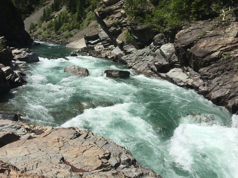
Photo

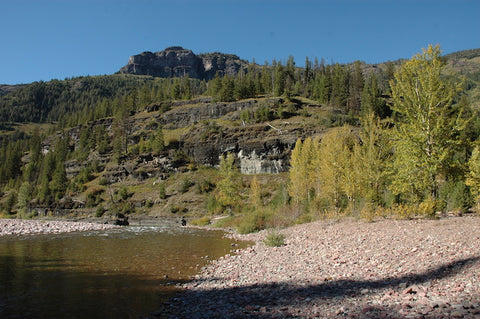
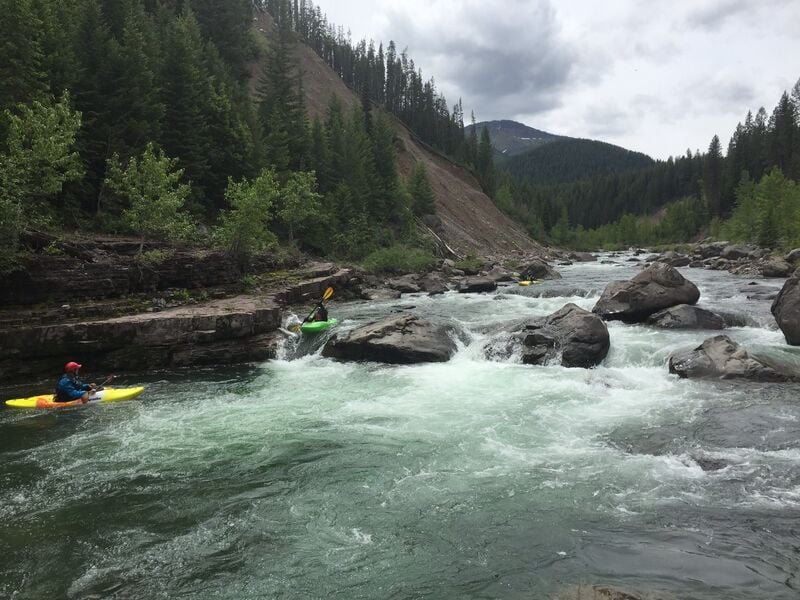
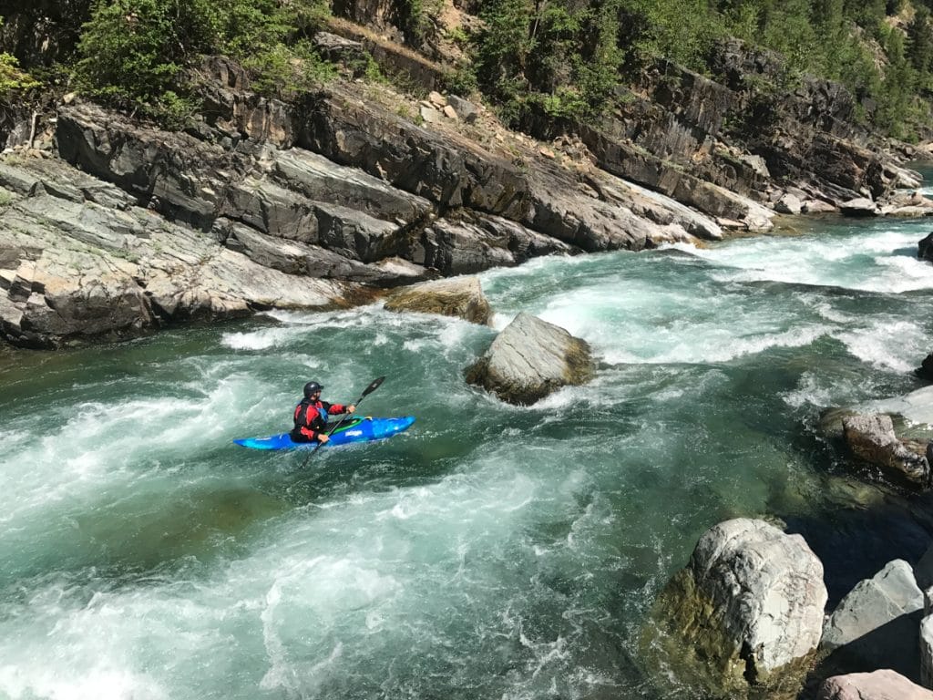
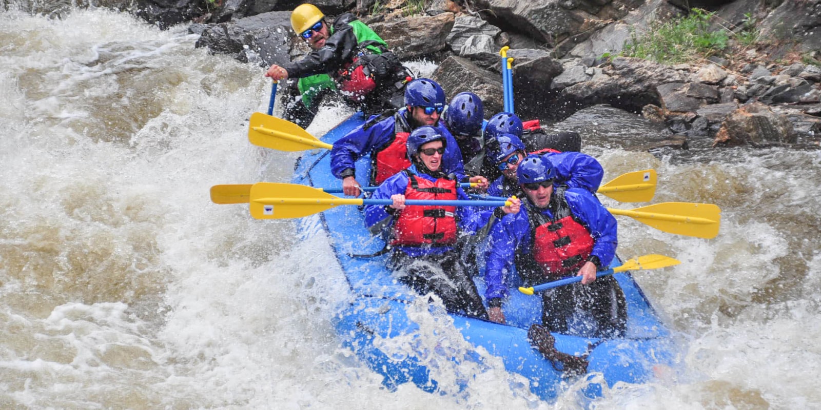
Photo courtesy of American Whitewater
Description
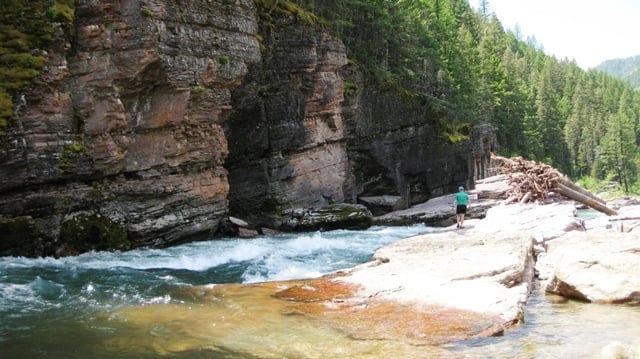
From Highway 2, just west of Marias Pass turn south onto Forest Road 569 and follow it approximately 8 miles to the Granite Creek Trailhead. From here it is 6 mile hike down the Granite Creek Trail (trail #156) to the Big River Trail (trail #155) that parallels the Middle Fork Flathead. This trail provide an option for an overnight packraft trip through the Spruce Park Gorge during lower summer flows. While formal camping is not available at this site, you can bivouac in the grassy parking area if you arrive late and want to start your hike in the next morning.
Location
Other Rapids on This Run (11)
 Rapid
N/A
Rapid
N/A
Schafer Meadows Airstrip, Put-In
 Rapid
IV
Rapid
IV
Three Forks Rapid Series
 Rapid
N/A
Rapid
N/A
Morrison Creek Trailhead
 Rapid
N/A
Rapid
N/A
Morrison Creek Confluence
 Rapid
Rapid
Granite Creek confluence
 Rapid
IV
Rapid
IV
Upper Twenty-Five Mile Rapid
 Rapid
IV
Rapid
IV
Lower Twenty-Five Mile Rapid
 Rapid
III
Rapid
III
Cye Creek Rapid
 Rapid
III
Rapid
III
Lunch Creek Series
 Rapid
IV
Rapid
IV
Spruce Park Rapid Series
 Rapid
N/A
Rapid
N/A
Bear Creek River Access and Trailhead, Take Out
View Full Run
1. Schafer Meadows to Bear Creek
Flathead, Middle Fork
III-IV
27.5 mi
Current Conditions
5-Day Forecast
Whitewater data from
American Whitewater
American Whitewater