Gauge Conditions
Flow range for best boatability uncertain. Please help your fellow boaters with a comment or report.
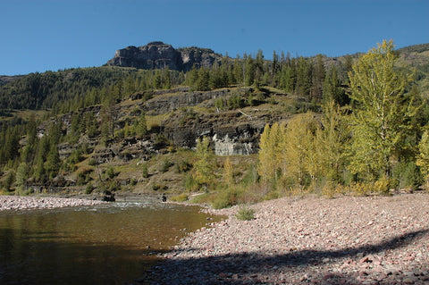
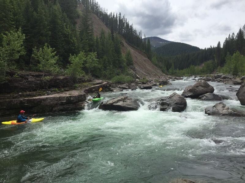
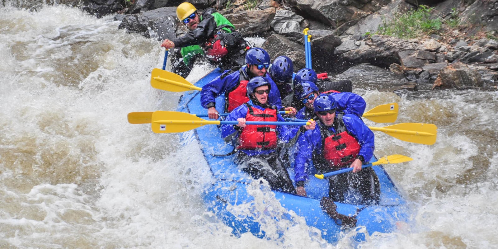
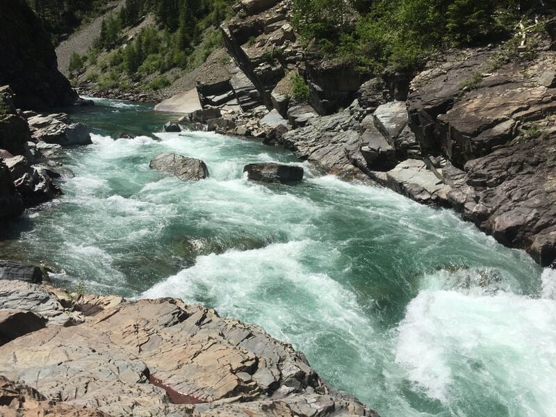
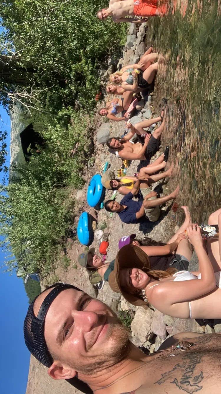
Photo
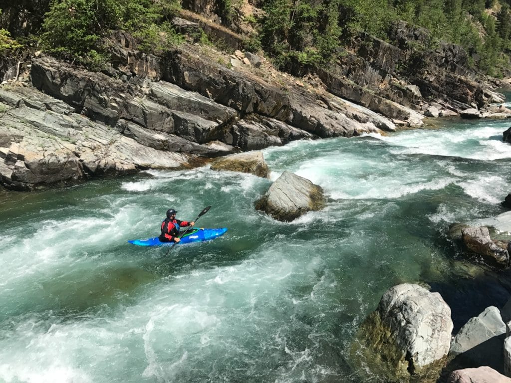
Description
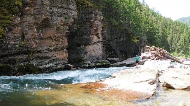
The Morrison Creek Trail provides an option for a hike in with packrafts without chartering a plane to fly in. The trail descends gently along Morrison Creek, offering a scenic journey through dense forests and alongside the creek itself. It is predominantly downhill, with a descent of about 1,400 feet. You should be prepared for multiple creek crossings that may present challenges during periods of high water. To reach the trailhead take Highway 2 and just west of Marias Pass turn south onto Skyland Road (Forest Road 569) and follow it approximately 9 miles to the Morrison Creek Trailhead. From here it is an approximately 10 mile hike down the Morrison Creek Trail (trail #154) to the Big River Trail (trail #155) that parallels the Middle Fork Flathead and allows you to continue another 4 miles upstream to Schafer Meadows.
Location
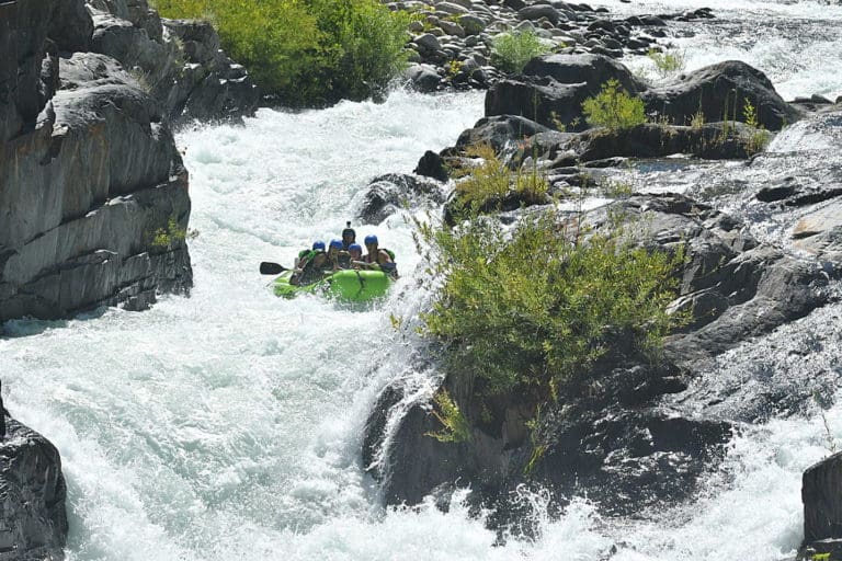
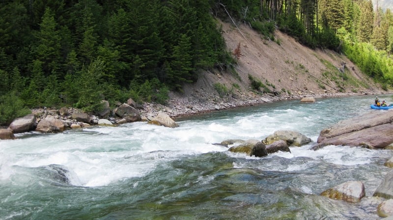
Other Rapids on This Run (11)
 Rapid
N/A
Rapid
N/A
 Rapid
IV
Rapid
IV
 Rapid
N/A
Rapid
N/A
 Rapid
N/A
Rapid
N/A
 Rapid
Rapid
 Rapid
IV
Rapid
IV
 Rapid
IV
Rapid
IV
 Rapid
III
Rapid
III
 Rapid
III
Rapid
III
 Rapid
IV
Rapid
IV
 Rapid
N/A
Rapid
N/A
Current Conditions
5-Day Forecast
American Whitewater