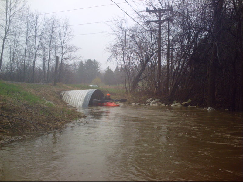
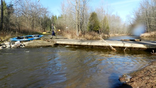
Hawthorne Road Approach
Pigeon Creek - Bonniwell Road to Highland Road (1.2 - 2.4 miles) (WI)
Gauge Conditions
Almost certainly too low. (~0-50 cfs)
Photo
Description
Width: 10'-15' Length: 200'-300'
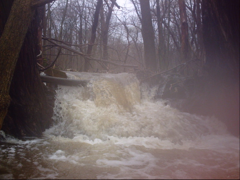
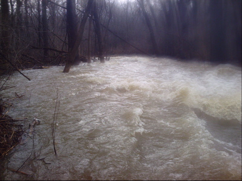
Just beyond the pool (below the private dam), the gradient picks up nicely as the creek turns sharply to the right to head toward the Hawthorne Road culverts. This means there is strong current heading toward and through the culvert. Any deadfall or snags upstream, or blocking the culverts, will be very difficult to negotiate or avoid.
There has been total blockage of the stream the past few times I've done this creek. Therefore, it is best to scout this area (as well as you can -- there are no shoulders on the road here to park on) before putting in anywhere upstream. It is likely you'll have to portage (through underbrush and deadfall on shore) to put in upstream (or downstream) of the culverts.
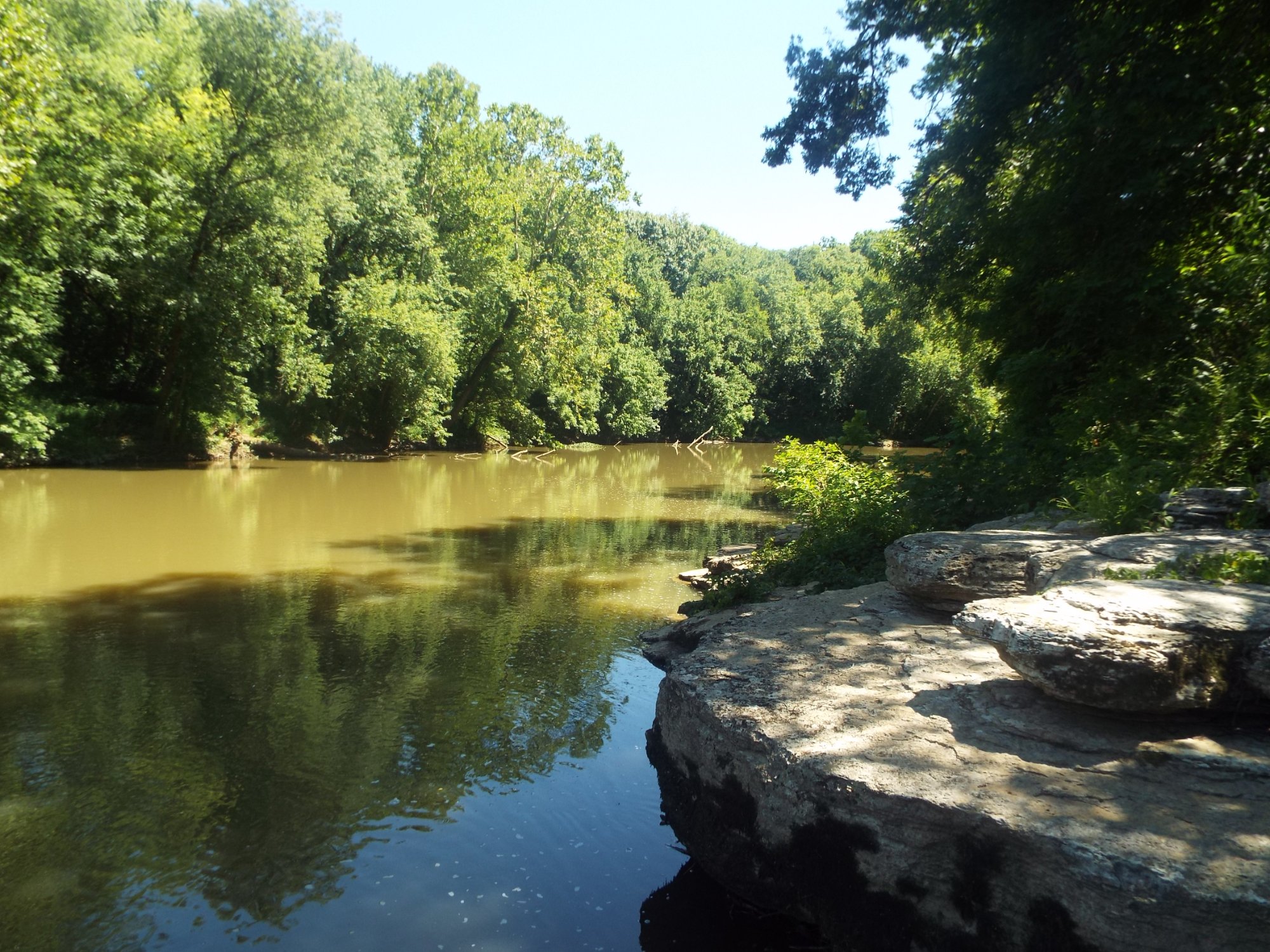
Drainage at this point is up to ~6.8 square miles.
Location
Other Rapids on This Run (15)
 Hazard
N/A
Hazard
N/A
 Hazard
N/A
Hazard
N/A
 Hazard
II+
Hazard
II+
 Hazard
 Hazard
 Hazard
N/A
Hazard
N/A
 Hazard
II+
Hazard
II+
 Hazard
N/A
Hazard
N/A
 Hazard
N/A
Hazard
N/A
 Hazard
N/A
Hazard
N/A
 Hazard
II
Hazard
II
 Hazard
II+
Hazard
II+
Current Conditions
5-Day Forecast
American Whitewater