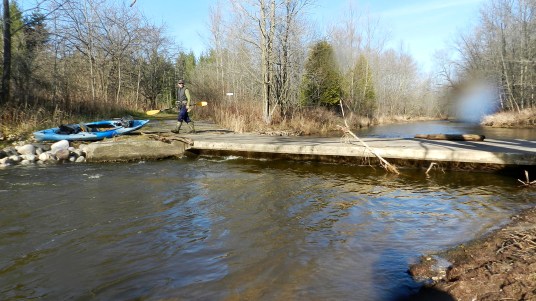
Highland Road -- Take Out!
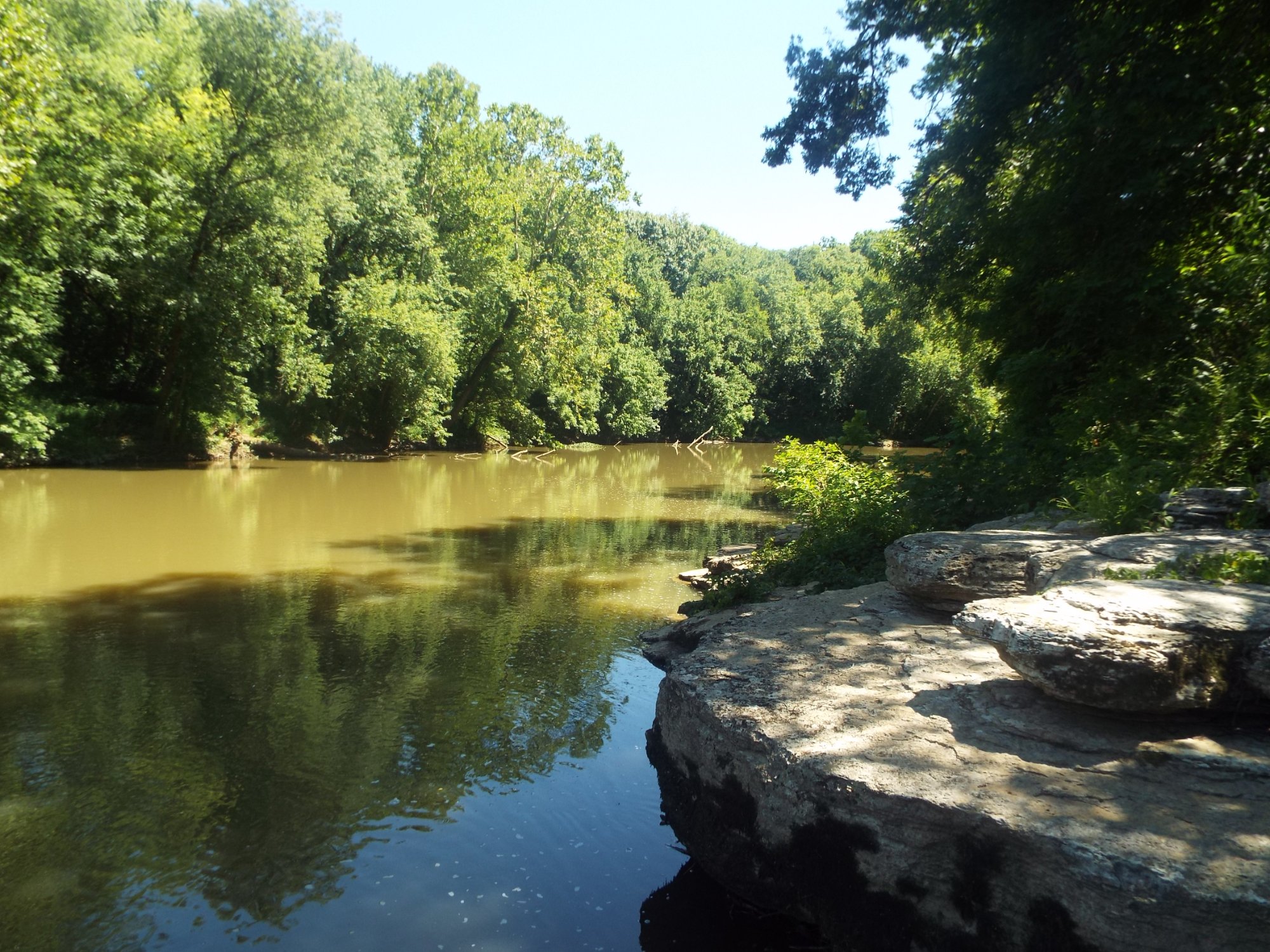
Pigeon Creek - Bonniwell Road to Highland Road (1.2 - 2.4 miles) (WI)
Gauge Conditions
Almost certainly too low. (~0-50 cfs)
Description
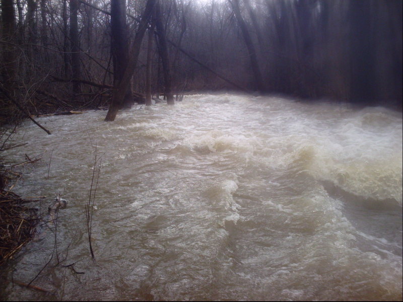
After the 'slip and slide' and the minor trailing bedrock rapids, the creek heads to the edge of the woods. A massive logjam had blocked passage for years, pushing the water over the banks and through the woods. One had to muddle through (in boat or out) to get to the road. Some years back this was cleared (either by the WIDNR or a fishing group?), but is likely to accumulate wood once again.
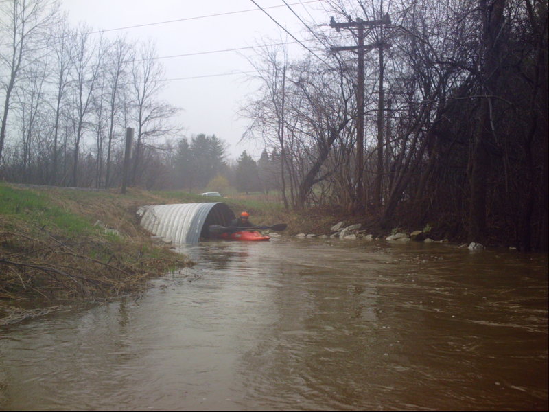
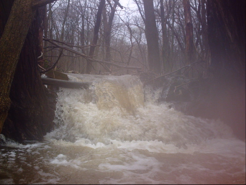
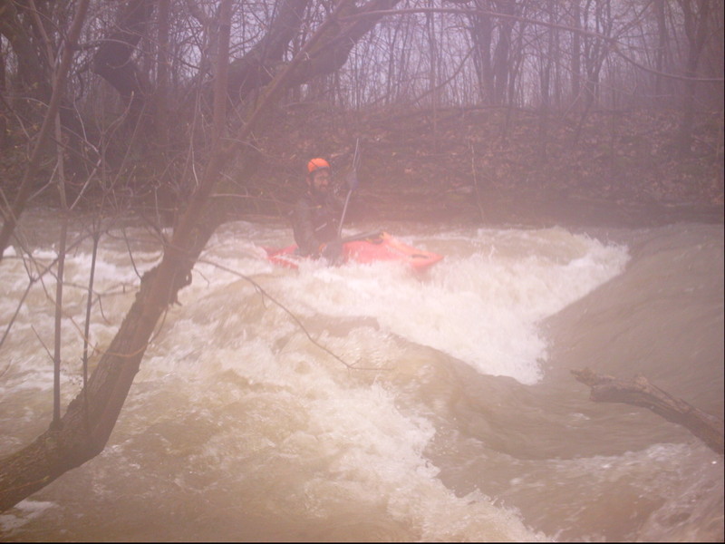
If you are able to stay on stream, be wary as you come out of the woods and encounter the railroad. The trestle has very minimal passage, so you may need to break out of current and exit your boat before being flushed under. Just downstream, the bike trail bridge has similar low passage. If either/both are impassible, you may just as well skip the rest of the creek and just carry out to the road via the bike path.
In the rare event that you can paddle through both of those, get out before the Highland Road bridge.
While it could be interesting to paddle to the confluence with the Milwaukee River (just downstream of the Thiensville Dam), the problem is that downstream of Highland Road, all the gradient is spent, and things turn into broad meanders and a totally wooded up mess for half the distance to the river.
Location
Other Rapids on This Run (15)
 Hazard
N/A
Hazard
N/A
 Hazard
N/A
Hazard
N/A
 Hazard
II+
Hazard
II+
 Hazard
 Hazard
 Hazard
N/A
Hazard
N/A
 Hazard
II+
Hazard
II+
 Hazard
II
Hazard
II
 Hazard
N/A
Hazard
N/A
 Hazard
N/A
Hazard
N/A
 Hazard
N/A
Hazard
N/A
 Hazard
II
Hazard
II
 Hazard
II+
Hazard
II+
Current Conditions
5-Day Forecast
American Whitewater