Gauge Conditions
Runnable: ? – ? CFS
Approximate - nearest available gauge. Use as general reference only.
Data from American Whitewater & USGS
CDEC Flow Data California
Data from California Data Exchange Center (CDEC)
Description
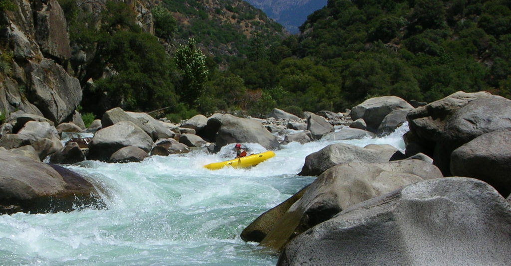
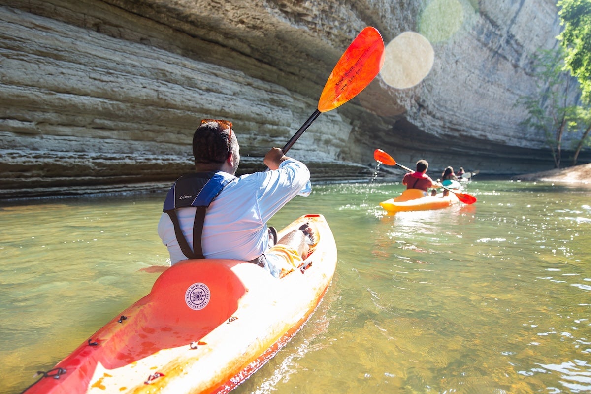
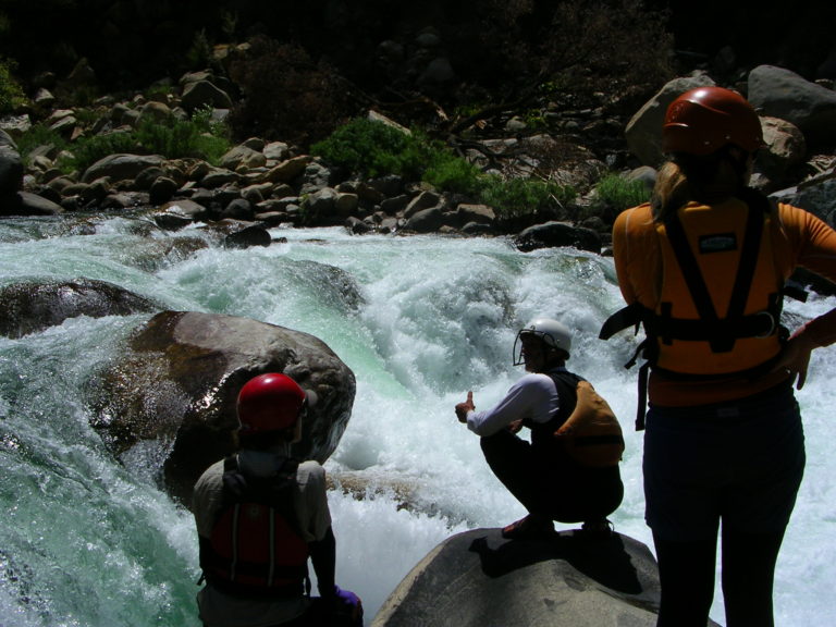
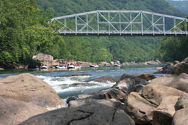
Take out under the bridge on river right or around the corner at Pierces Park. There is also an awkward take up a steep bank just past Pierces Park on the right. There is a large turnout for parking and a large tree next to highway 180. County owned land on river right, upstream of the bridge is being developed for fishing and boating access.
Location
Other Rapids on This Run (14)
View Full Run
4. Pine Flat Dam to Centerville (Route 180)
Kings
I-II
12.2 mi
Current Conditions
5-Day Forecast
Whitewater data from
American Whitewater
American Whitewater