Gauge Conditions
Runnable: ? – ? CFS
Approximate - nearest available gauge. Use as general reference only.
Data from American Whitewater & USGS
CDEC Flow Data California
Data from California Data Exchange Center (CDEC)
Description
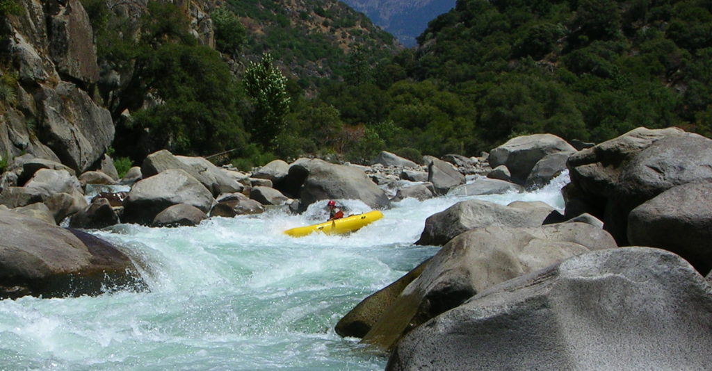
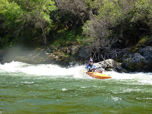
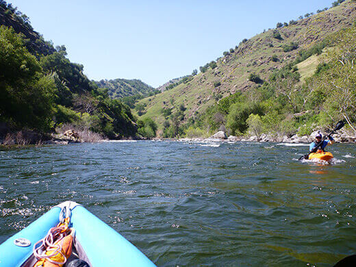
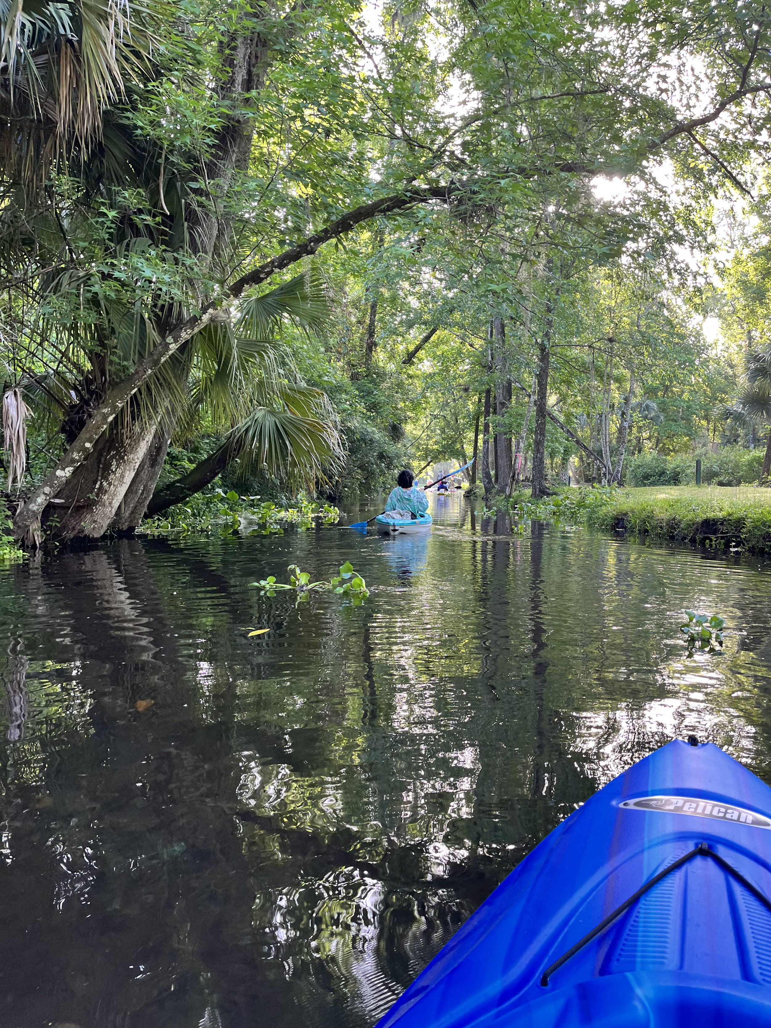
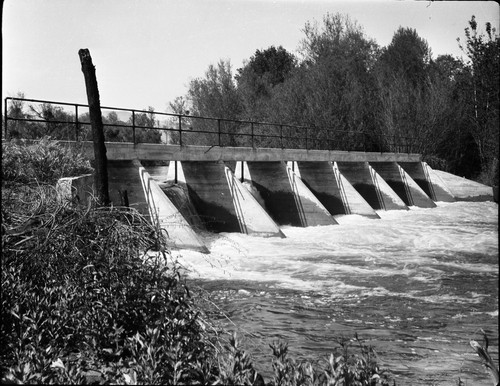
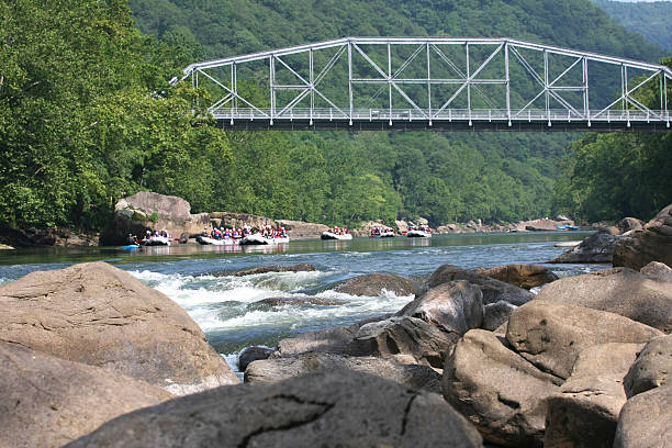
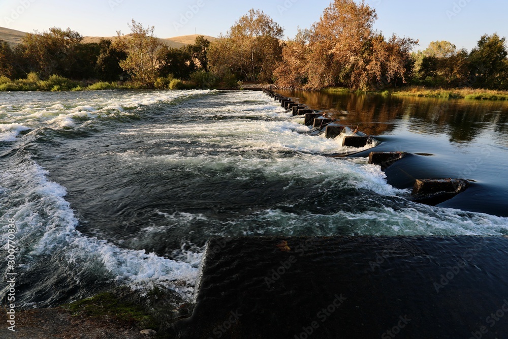
A group of islands have developed along the outside edge of a large alluvial fan. They form a U shape with the top of the U facing upstream. Two main channels run down the left and right sides of the U, while several small channels also cut through the U at spots. The left channel is long, narrow, shaded, fast and interesting, but the right channel is probably safer for beginners.
Location
Other Rapids on This Run (14)

View Full Run
4. Pine Flat Dam to Centerville (Route 180)
Kings
I-II
12.2 mi
Current Conditions
5-Day Forecast
Whitewater data from
American Whitewater
American Whitewater