Gauge Conditions
Runnable: ? – ? CFS
Approximate - nearest available gauge. Use as general reference only.
Data from American Whitewater & USGS
CDEC Flow Data California
Data from California Data Exchange Center (CDEC)
View Full Run
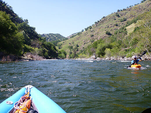
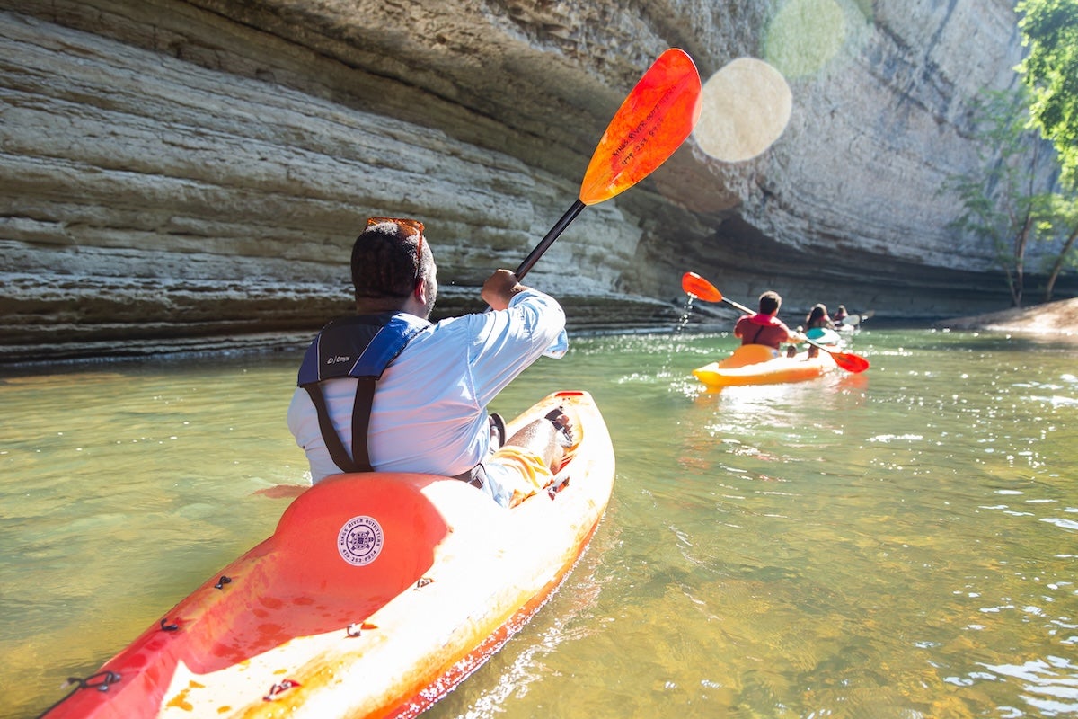
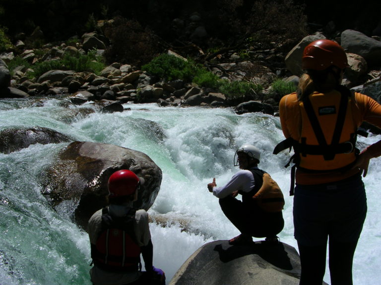
4. Pine Flat Dam to Centerville (Route 180)
Kings
I-II
12.2 mi
Current Conditions
5-Day Forecast
Whitewater data from
American Whitewater
American Whitewater