Gauge Conditions
Data from American Whitewater & USGS
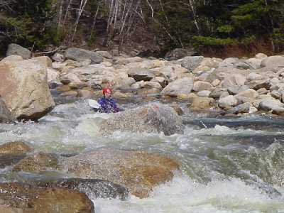
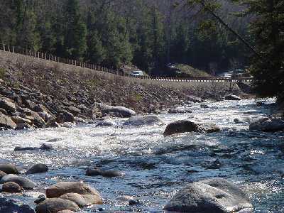
Photo
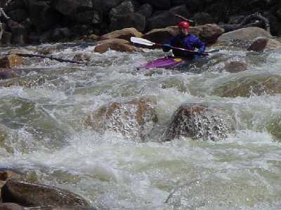
Photo courtesy of American Whitewater
Description
Class II and III rapids will be continuous until NH route 49 becomes visible for a short distance on your left. Once the river turns away from the roadway a sharp drop will be visible in the distance. Take out river left and scout the best line. Normally you would start from river left then move your way into the eddies behind a couple large boulders midstream. From this point you can peel out towards river right through a couple big holes at the bottom. In low water this drop can be full of pinning rocks. Even in high water large rocks can throw you off your line.
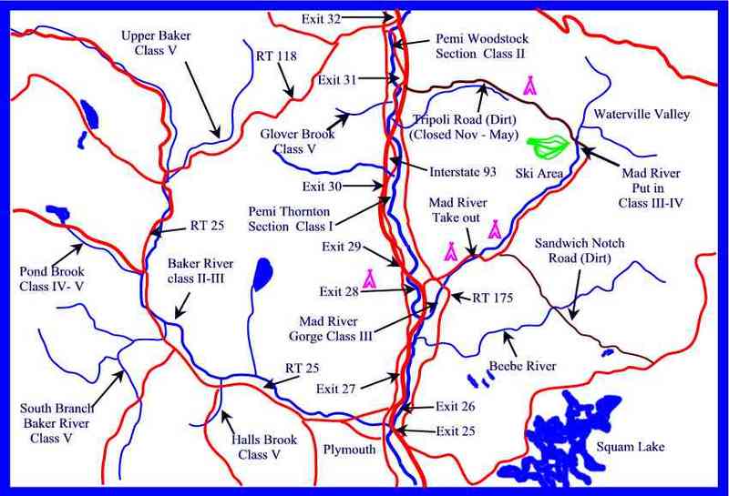
Location
Other Rapids on This Run (3)
View Full Run
1. Highway 49 Bridge (Waterville Valley) to Campton
Mad River
III-IV
7.6 mi
Current Conditions
5-Day Forecast
Whitewater data from
American Whitewater
American Whitewater