Put-in
NH
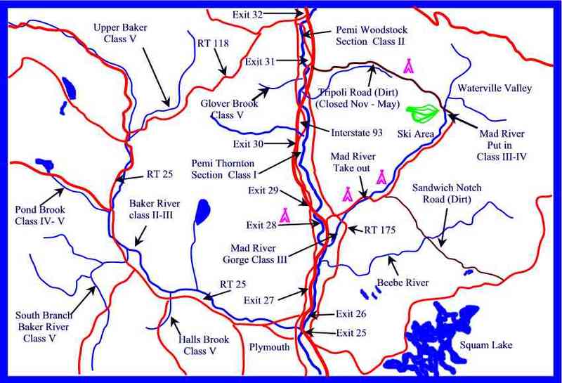
Map of the Mid Pemi region
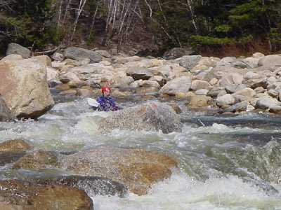
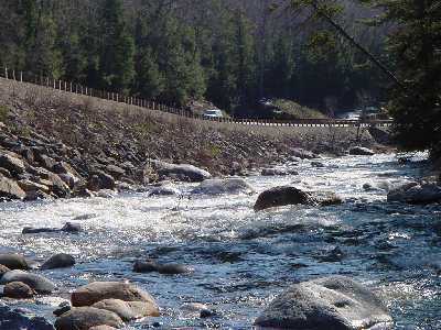
Mad River - 1. Highway 49 Bridge (Waterville Valley) to Campton (NH)
Gauge Conditions
Data from American Whitewater & USGS

View Full Run
1. Highway 49 Bridge (Waterville Valley) to Campton
Mad River
III-IV
7.6 mi
Current Conditions
5-Day Forecast
Whitewater data from
American Whitewater
American Whitewater