Take-out
CA
Matthews Creek River Access
Salmon, South Fork - Near 15-Mile Marker to Matthews Creek River Access (CA)
Gauge Conditions
Data from American Whitewater & USGS
Description
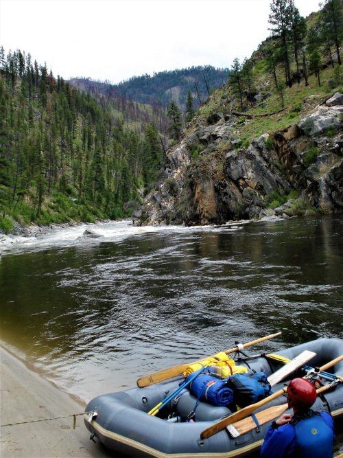
Take out at the Matthews Creek River Access. Follow US Forest Service road 54D0022 downhill from Cecilville Road (near mile-marker nine) to reach the river. This is downstream of Matthews Creek itself as well as downstream of the campground. As of May 2025, the river access road is marked by a sign along Cecilville Road.
Location
Other Rapids on This Run (13)
Rapid
N/A
Mile-Marker 15 Put-in (Legarde)
Rapid
III+
Narrow Gorge Rapid
Rapid
IV+
First Significant Rapid
Rapid
IV
Ledge Hole Rapid
 Rapid
IV
Rapid
IV
Steep Microgorge Rapid
 Rapid
IV
Rapid
IV
Unnamed Rapid
Rapid
III+
Fake Amusement Park
Rapid
V-
Amusement Park
Rapid
IV
Landslide Boulder Garden
Rapid
IV-
Final Gorge Entry Rapid
Rapid
V-
Final Gorge #1
Rapid
IV
Final Gorge #2
Rapid
IV+
Final Gorge #3
View Full Run
Near 15-Mile Marker to Matthews Creek River Access
Salmon, South Fork
IV-V
5.6 mi
Current Conditions
5-Day Forecast
Whitewater data from
American Whitewater
American Whitewater