Gauge Conditions
Runnable: ? – ? CFS
Approximate - nearest available gauge. Use as general reference only.
Data from American Whitewater & USGS
Photo
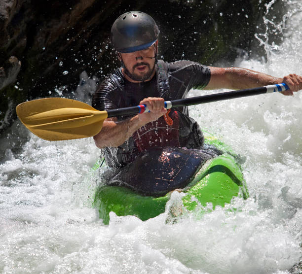
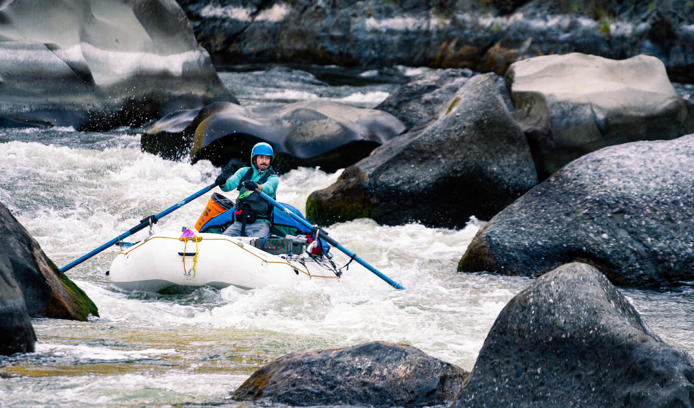
Photo courtesy of American Whitewater
Description
Put In rapid marks the starting point for this section of the Manitou River, featuring a moderate entry with scattered rock gardens that require careful boat positioning. Paddlers should be prepared for potential shallow areas and tight maneuvering between mid-stream boulders, with the best line typically hugging the river right during normal flow conditions.
Location
Other Rapids on This Run (16)
 Rapid
N/A
Rapid
N/A
Bridge
Rapid
N/A
Shortcut
Rapid
N/A
Confluence
Rapid
VI
Falls!
Rapid
N/A
Pinball/Canyon Portage
Rapid
N/A
Pinball
Rapid
N/A
SHT Bridge
 Waterfall
N/A
Waterfall
N/A
Seven Foot Surprise
Rapid
N/A
Red Rock Portage/Scout
Rapid
N/A
Red Rock Slide
 Hazard
N/A
Hazard
N/A
Ledge!
 Rapid
N/A
Rapid
N/A
Significant drop?
 Rapid
N/A
Rapid
N/A
Significant rapids?
Rapid
N/A
POWER LINES
 Rapid
N/A
Rapid
N/A
Take Out
Rapid
N/A
USGS sampling site
View Full Run
Cty.7 to falls above Hwy 61 (6.6 miles)
Manitou
III-IV
6.3 mi
Current Conditions
5-Day Forecast
Whitewater data from
American Whitewater
American Whitewater