Gauge Conditions
Runnable: ? – ? CFS
Approximate - nearest available gauge. Use as general reference only.
Data from American Whitewater & USGS
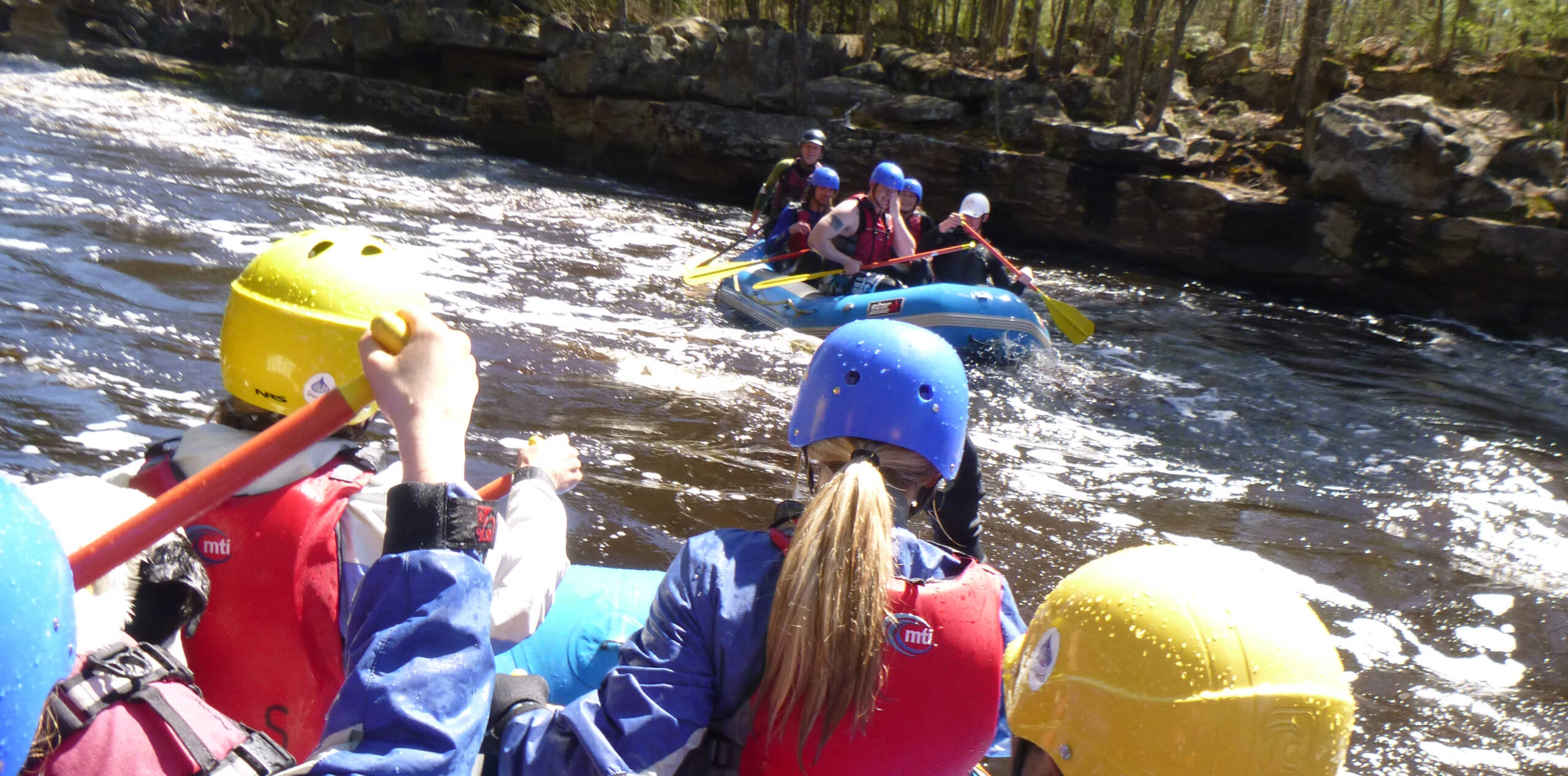
Photo

Photo courtesy of American Whitewater
Description
The Manitou River's unnamed rapid between County Road 7 and Highway 61 presents a technical challenge with its complex boulder field and potential submerged obstacles. Paddlers should carefully scout the rapid's line, maintaining awareness of potential pinning hazards and navigating the irregular water flow around scattered rock formations.
Location
Other Rapids on This Run (16)
 Rapid
N/A
Rapid
N/A
Put In
 Rapid
N/A
Rapid
N/A
Bridge
Rapid
N/A
Shortcut
Rapid
N/A
Confluence
Rapid
VI
Falls!
Rapid
N/A
Pinball
Rapid
N/A
Pinball/Canyon Portage
Rapid
N/A
SHT Bridge
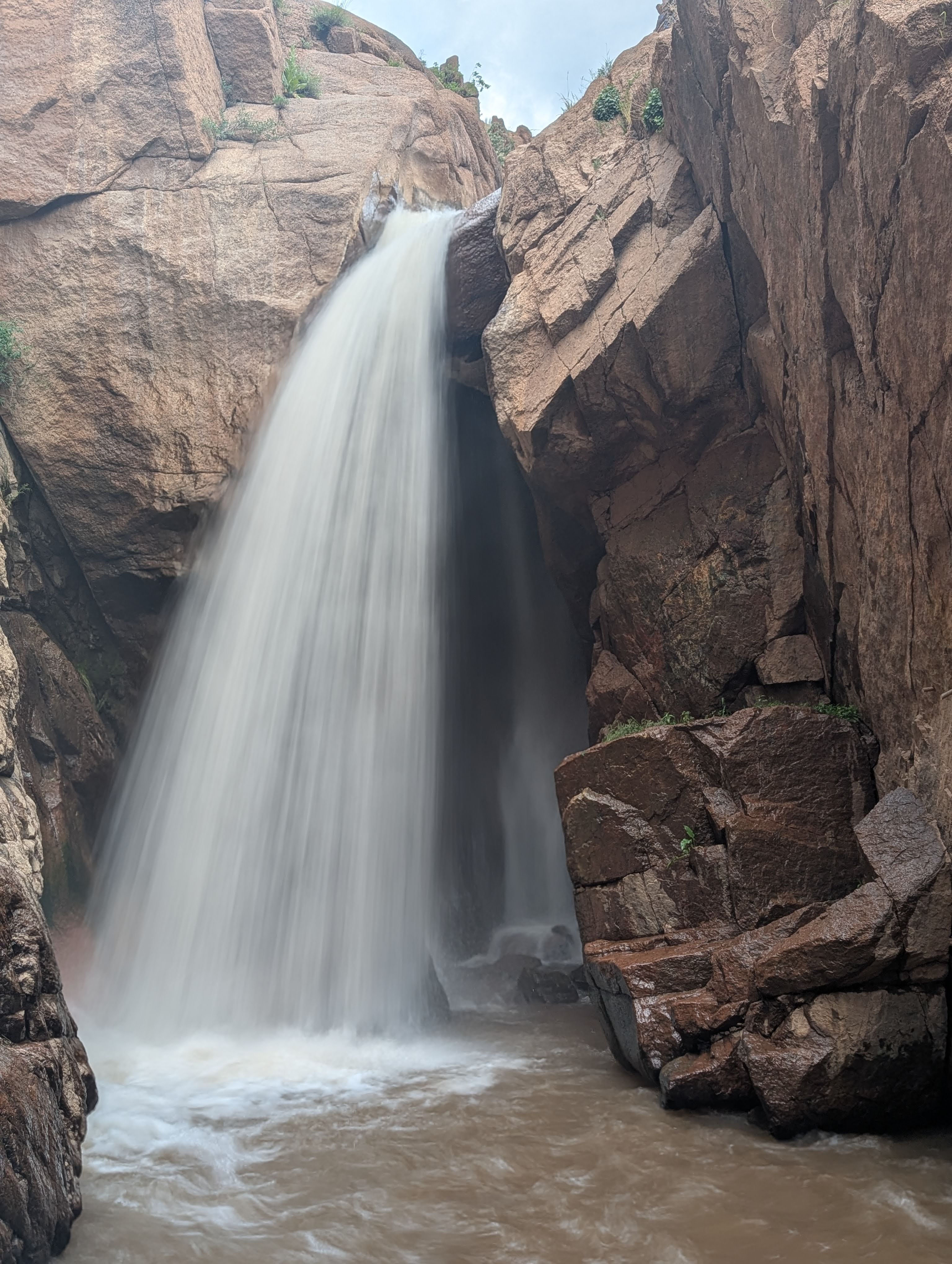 Waterfall
N/A
Waterfall
N/A
Seven Foot Surprise
Rapid
N/A
Red Rock Portage/Scout
Rapid
N/A
Red Rock Slide
 Hazard
N/A
Hazard
N/A
Ledge!
 Rapid
N/A
Rapid
N/A
Significant rapids?
Rapid
N/A
POWER LINES
 Rapid
N/A
Rapid
N/A
Take Out
Rapid
N/A
USGS sampling site
View Full Run
Cty.7 to falls above Hwy 61 (6.6 miles)
Manitou
III-IV
6.3 mi
Current Conditions
5-Day Forecast
Whitewater data from
American Whitewater
American Whitewater