Gauge Conditions
Runnable: 6.0 – 10.0 FT
Likely good flows in area, suggest this run should be boatable.
Data from American Whitewater & USGS
Photo
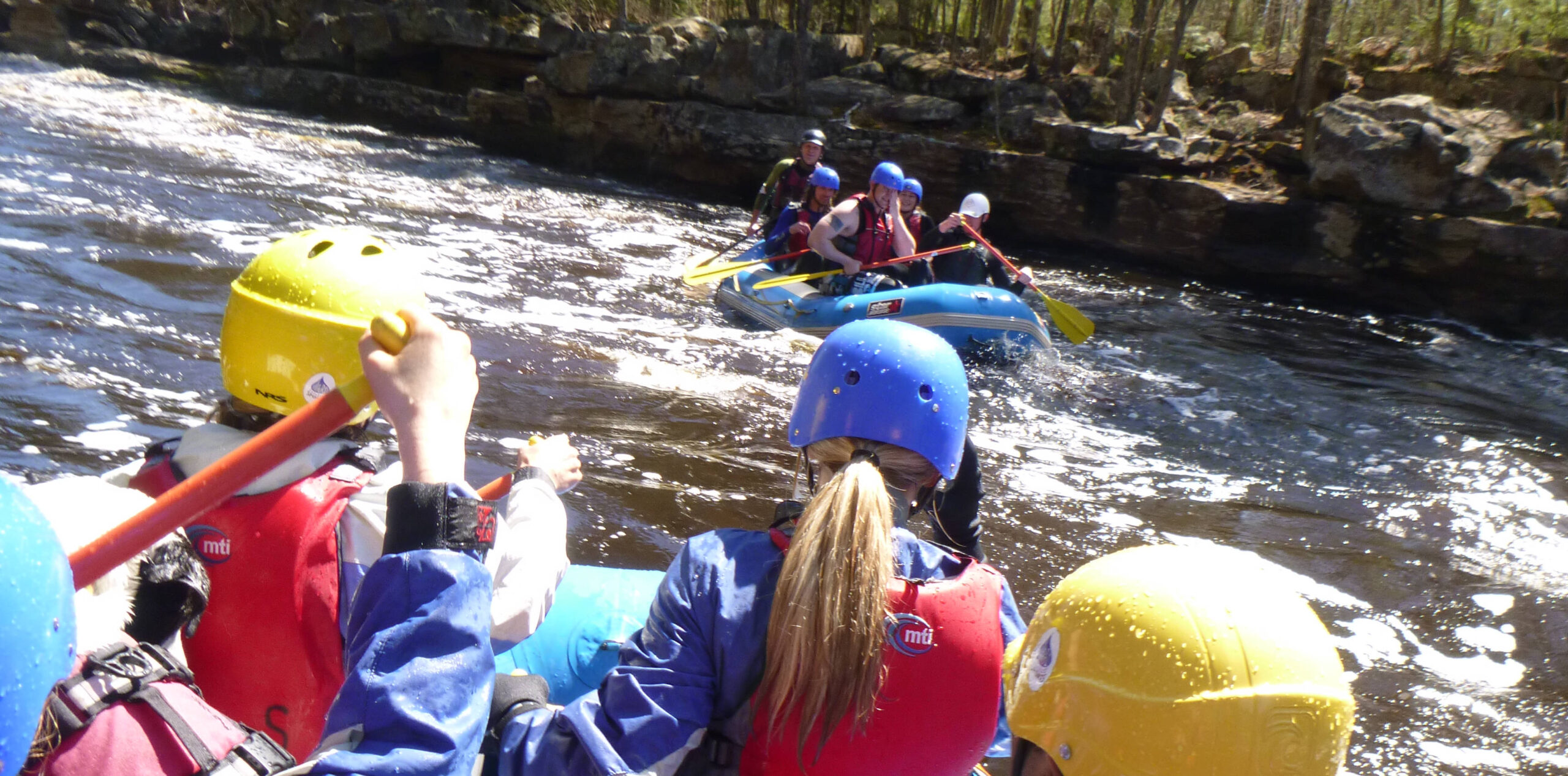
Photo courtesy of American Whitewater
Description
Put In rapid serves as the entry point for this Lower Tamarack River run, featuring a relatively straightforward access with minimal technical challenges. Paddlers should be aware of potential shallow areas and scattered rock formations near the launch, which may require careful boat positioning and precise maneuvering during lower water conditions.
Location
Other Rapids on This Run (2)

View Full Run
Hwy.25 to Hwy.48/77 (10.2 miles)
Lower Tamarack
I-II
11.9 mi
Current Conditions
5-Day Forecast
Whitewater data from
American Whitewater
American Whitewater