Gauge Conditions
Runnable: 6.0 – 10.0 FT
Likely good flows in area, suggest this run should be boatable.
Data from American Whitewater & USGS
Photo

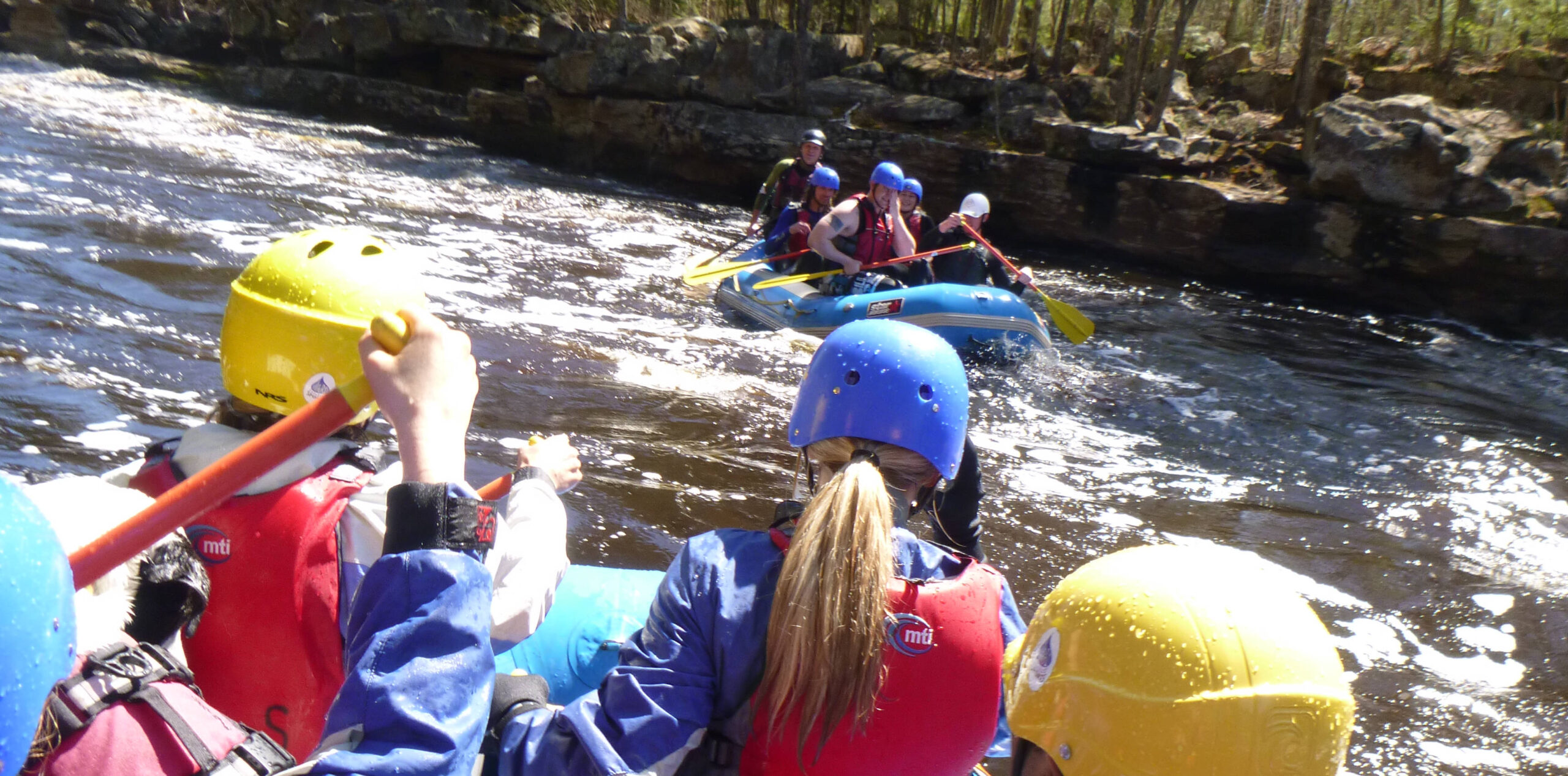
Photo courtesy of American Whitewater
Description
Take Out rapid presents a straightforward transit point with minimal technical challenges, primarily serving as a strategic exit location for paddlers concluding their Lower Tamarack River run. The takeout point likely features a standard egress area with potential shoreline obstacles or current shifts that require attentive maneuvering during exit. Paddlers should anticipate potential shoreline congestion and plan their approach methodically to ensure a clean and safe boat extraction.
Location
Other Rapids on This Run (2)
View Full Run
Hwy.25 to Hwy.48/77 (10.2 miles)
Lower Tamarack
I-II
11.9 mi
Current Conditions
5-Day Forecast
Whitewater data from
American Whitewater
American Whitewater