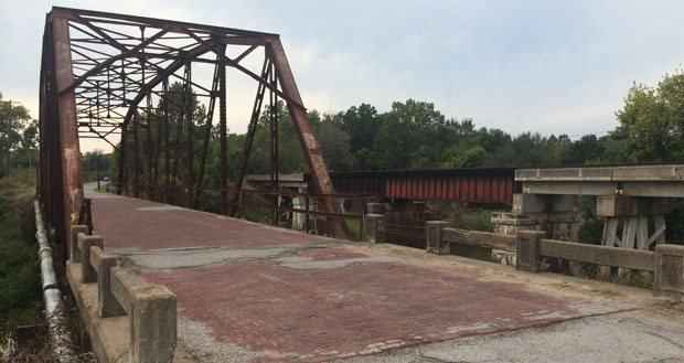
Take-out
KY
Road Bridge
Rock Creek (Cumberland trib) - C) White Oak Junction to Big S. Fork of Cumberland R. (0.6-4 miles) (KY)
Gauge Conditions
Runnable: ? – ? CFS
Approximate - nearest available gauge. Use as general reference only.
Data from American Whitewater & USGS
Description
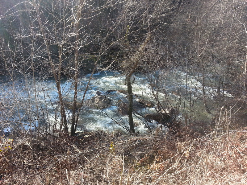
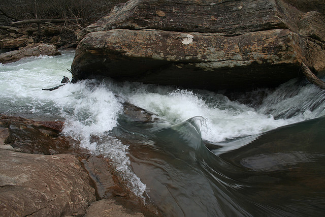
On some mapping sites this is labeled "Rock Creek Road", "Devils Creek Road", and "Beech Grove Road"! (It runs along a stream labeled as "Koger Fork".) There is good pull-off/parking/access spot here, and most paddlers are likely to take out here to avoid having to deal with the mandatory portage at the debris in the river downstream.
Location
Other Rapids on This Run (11)
View Full Run
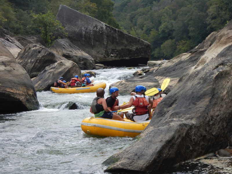
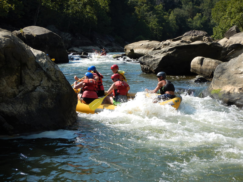
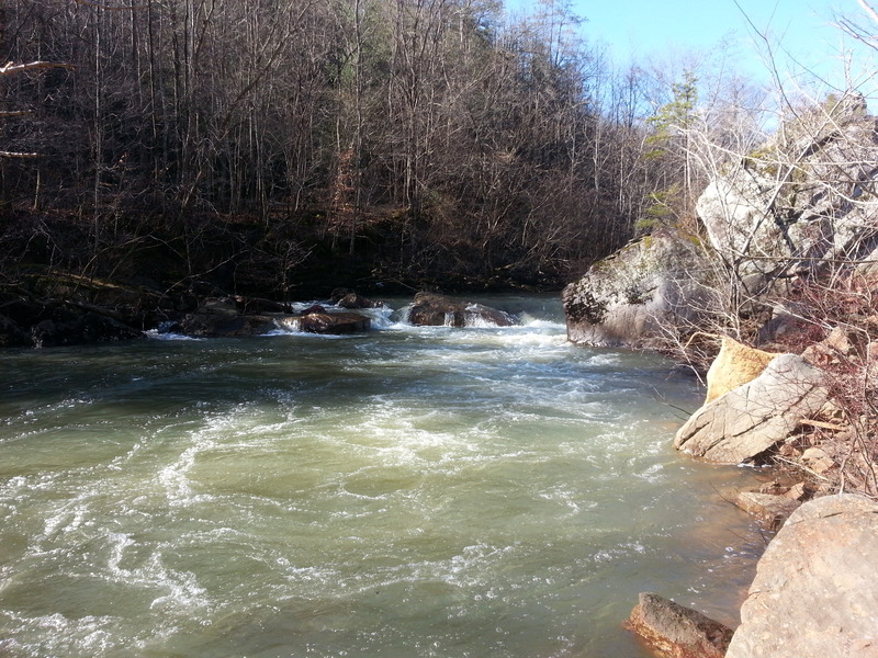
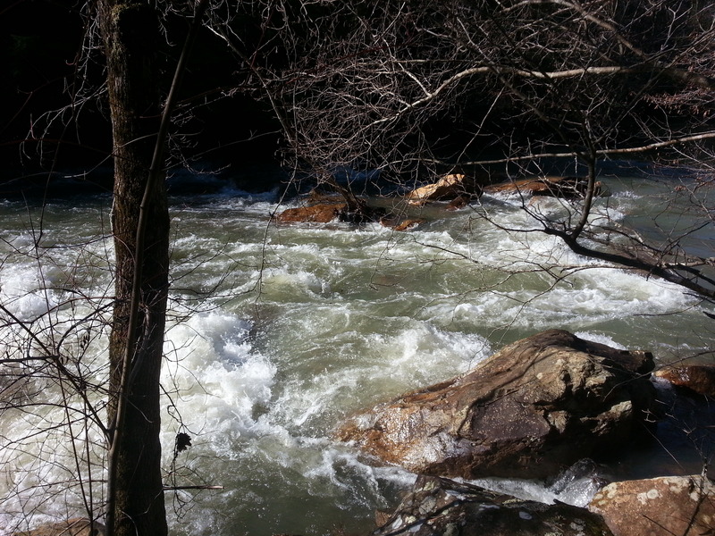
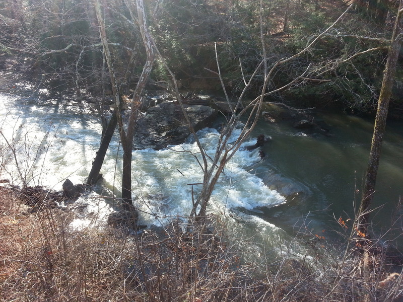
C) White Oak Junction to Big S. Fork of Cumberland R. (0.6-4 miles)
Rock Creek (Cumberland trib)
II-III(IV)
4.0 mi
Current Conditions
5-Day Forecast
Whitewater data from
American Whitewater
American Whitewater