South Fork Road trailhead
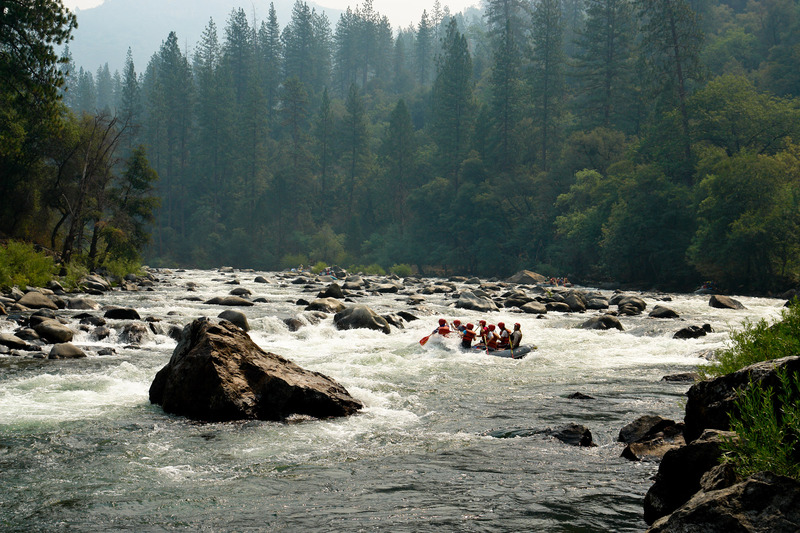
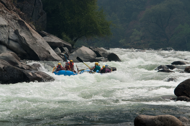
Tuolumne - 4. Lumsden Campground (Merals Pool) to Wards Ferry Bridge (CA)
Gauge Conditions
Approximate - nearest available gauge. Use as general reference only.
CDEC Flow Data California
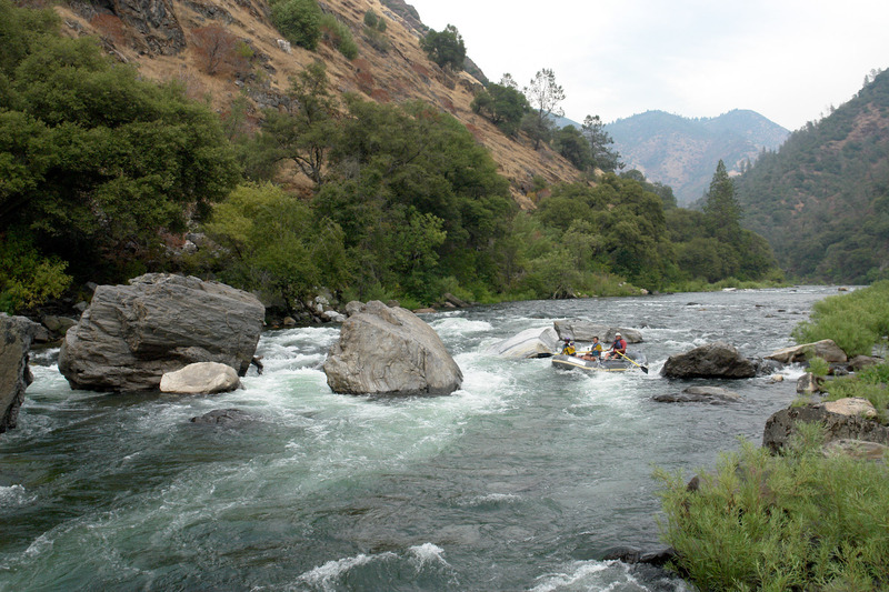
Description
For kayakers, hiking boats down the South Fork Road (FS Rd 1S01) is often a good option for put in. The hiking distance is about 3 miles and should not take more than an hour and a half. The hike probably doesn't take a lot longer than driving the Lumsden Rd and saves driving the road twice at the end of the day. When Lumsden Rd is closed, the South Fork Rd may be the only access option.
Forest Service Rd 1S01 is 11 miles east of Groveland on Highway 120. The turn off to the left is a second entrance to the Yosemite Westgate Lodge and the Lucky Buck Cafe. Follow the road east, staying to the right, to a gate. There are parking areas near the gate.
The SF Road drops steadily down a side drainage and then out onto an east facing ridge above the South Fork Tuolumne. Most of the road gets full sun exposure in the morning and there is little shade. There are lovely views of the South Fork Tuolumne cascading through a spectacular canyon.
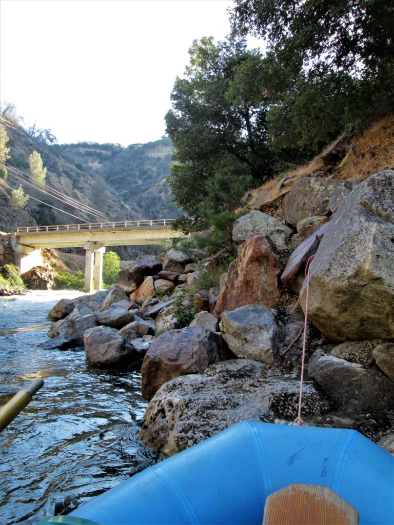
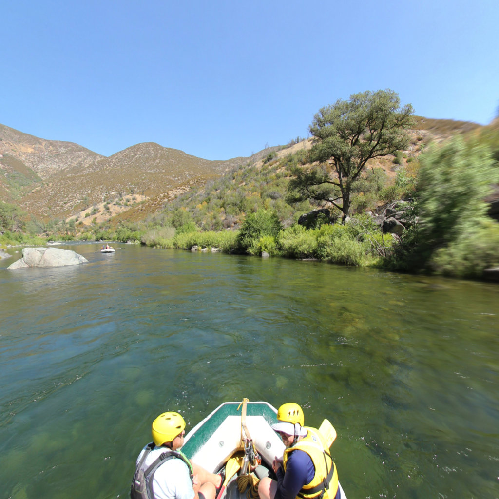
At the bottom, the SF Rd meets Lumsden Rd at the South Fork Bridge. If there is enough water, boaters can launch here and paddle the short distance to the main Tuolumne. Otherwise, turn left here and continue hiking a few hundred yards to Lumsden Campground and Meral's Pool.
Location
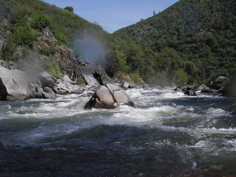
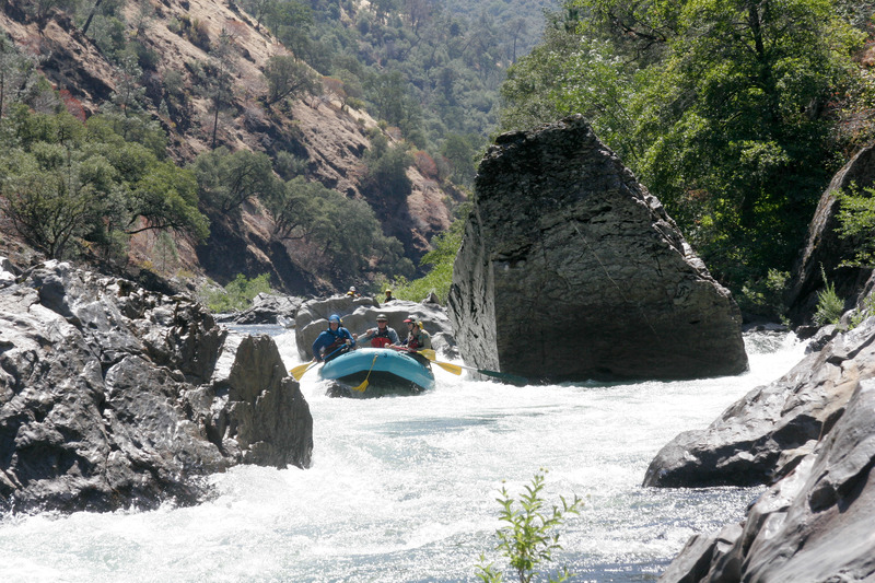
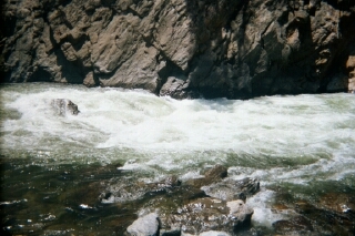
Other Rapids on This Run (19)
 Rapid
N/A
Rapid
N/A
 Rapid
IV
Rapid
IV
 Rapid
IV
Rapid
IV
 Rapid
IV
Rapid
IV
 Rapid
IV
Rapid
IV
 Rapid
IV
Rapid
IV
 Rapid
IV
Rapid
IV
 Rapid
V
Rapid
V
 Rapid
V
Rapid
V
 Rapid
III
Rapid
III
 Rapid
N/A
Rapid
N/A
Current Conditions
5-Day Forecast
American Whitewater