Wards Ferry Bridge
Tuolumne - 4. Lumsden Campground (Merals Pool) to Wards Ferry Bridge (CA)
Gauge Conditions
Approximate - nearest available gauge. Use as general reference only.
CDEC Flow Data California
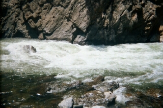
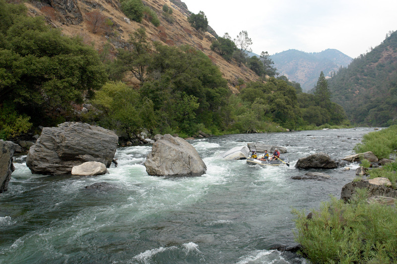
Photo
Description
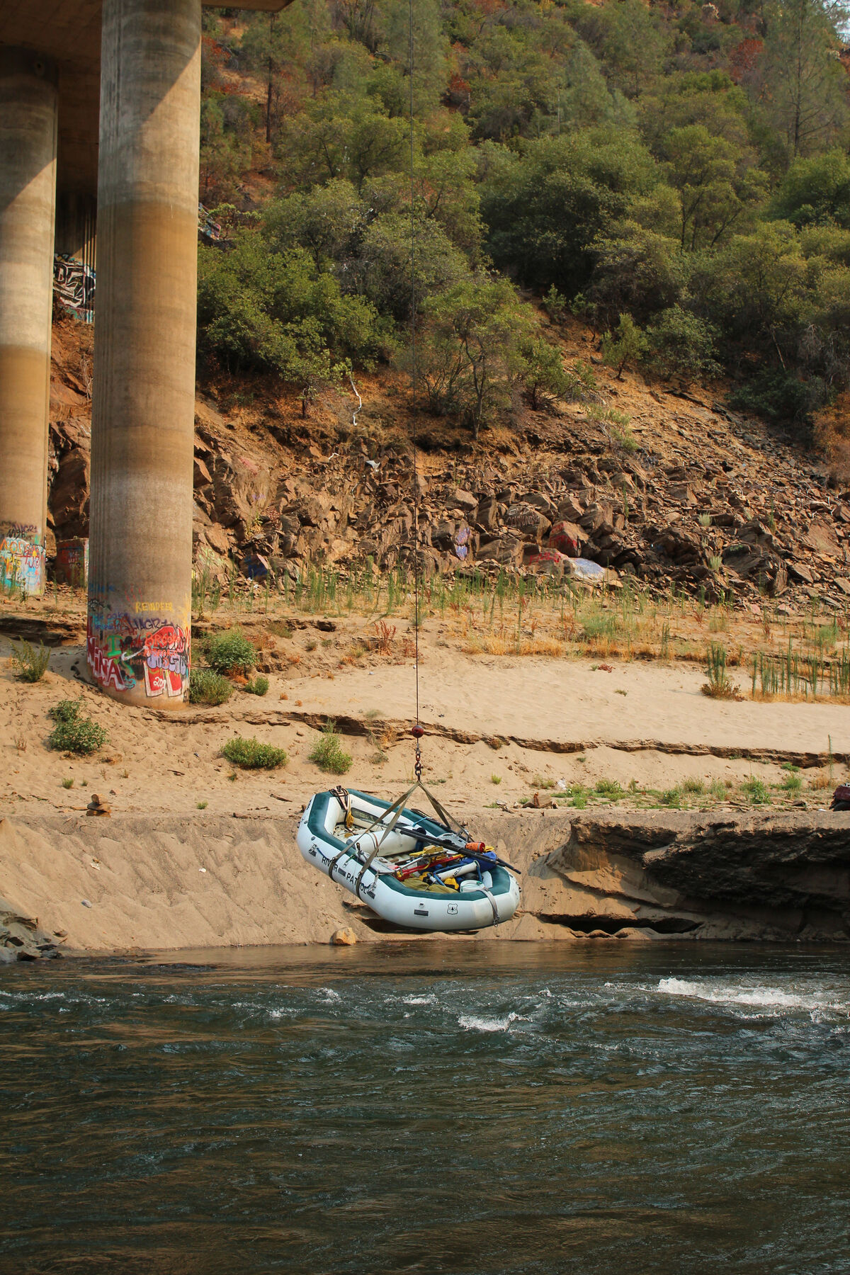
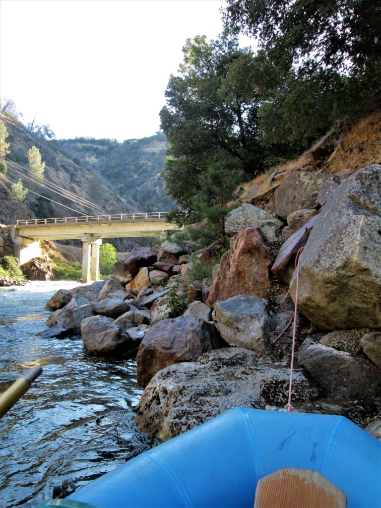
This newest bridge was constructed in 1971 to keep the road above the high water mark of New Don Pedro reservoir. The stone abutments of the old road remain just upstream on each side of the river.
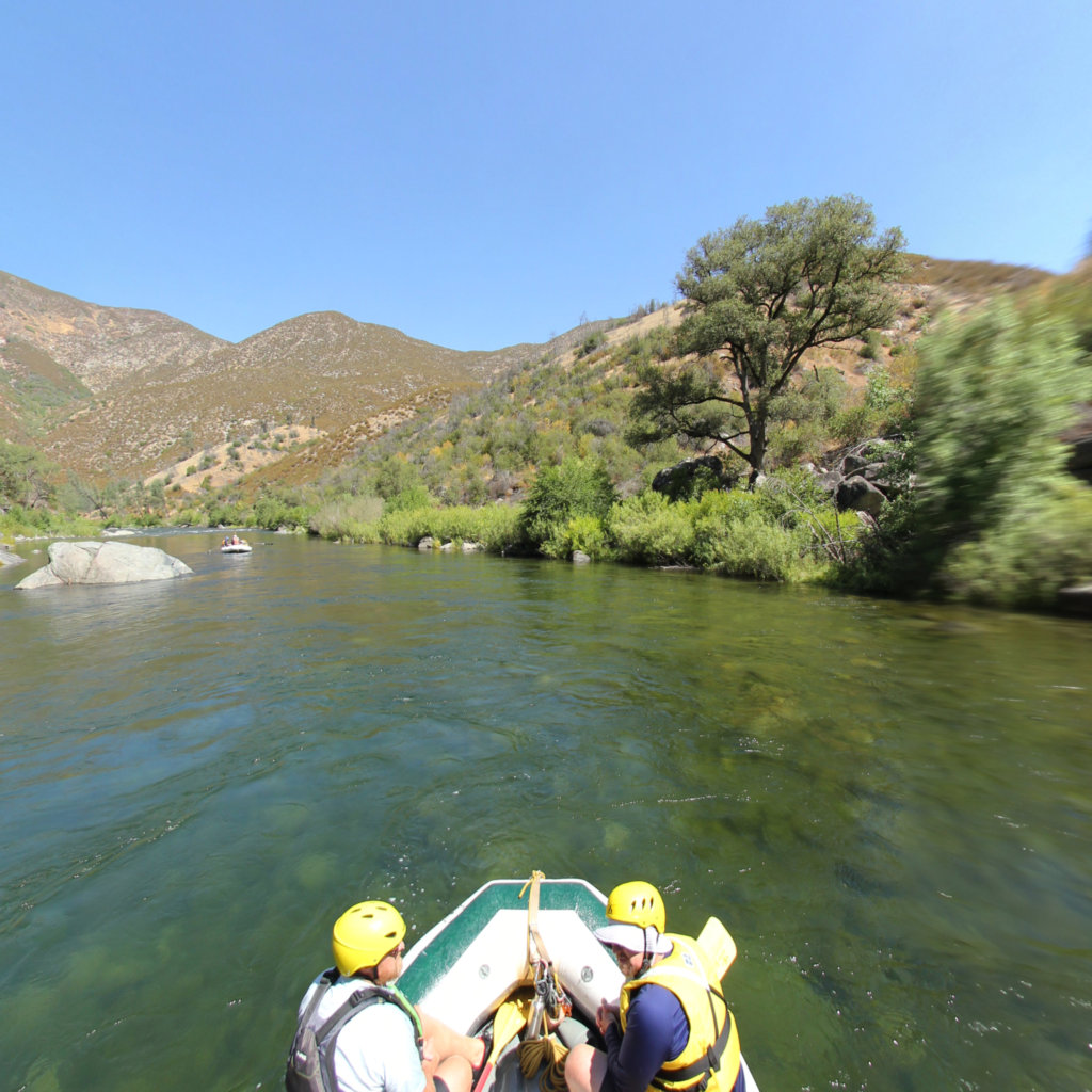
There is a steep trail on river left suitable for individual hikers and kayakers, but private rafters will use the slightly wider trail on river right. It is an awkward, slippery, difficult carry, so be careful. Commercial raft companies use a winch to lift their boats straight from the water to the bridge.
AW is working with the other stakeholders to design, fund and construct a better take out.
Location
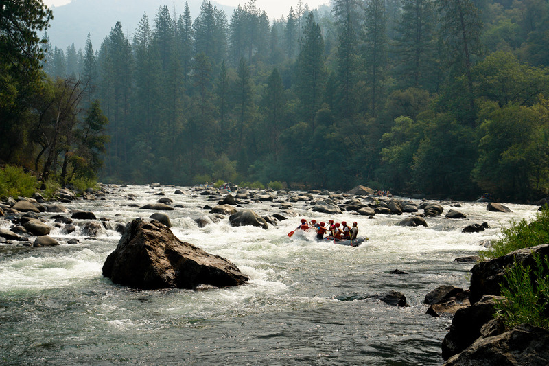
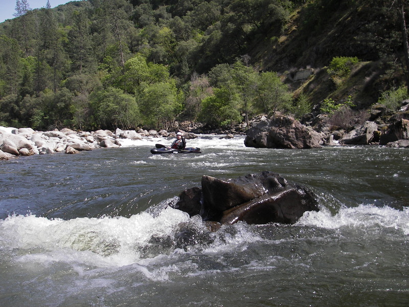
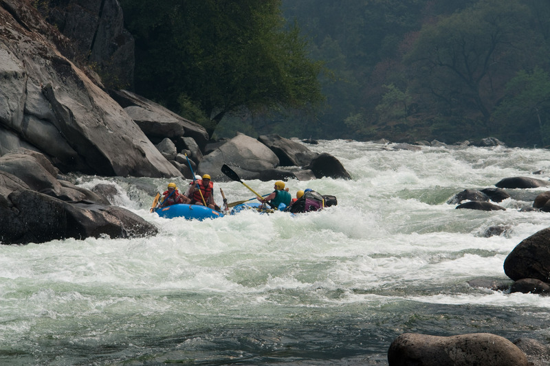
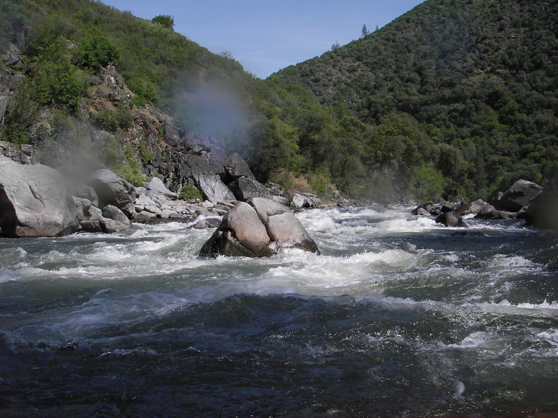
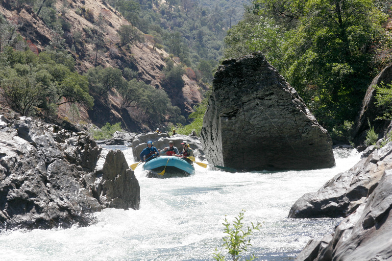
Other Rapids on This Run (19)
 Rapid
N/A
Rapid
N/A
 Rapid
IV
Rapid
IV
 Rapid
IV
Rapid
IV
 Rapid
IV
Rapid
IV
 Rapid
IV
Rapid
IV
 Rapid
IV
Rapid
IV
 Rapid
IV
Rapid
IV
 Rapid
V
Rapid
V
 Rapid
V
Rapid
V
 Rapid
III
Rapid
III
Current Conditions
5-Day Forecast
American Whitewater