Rapid
UT
Start of Uintah and Ouray Reservation, River Left
Green - 04. Ouray to Green River Town (UT)
Gauge Conditions
Data from American Whitewater & USGS
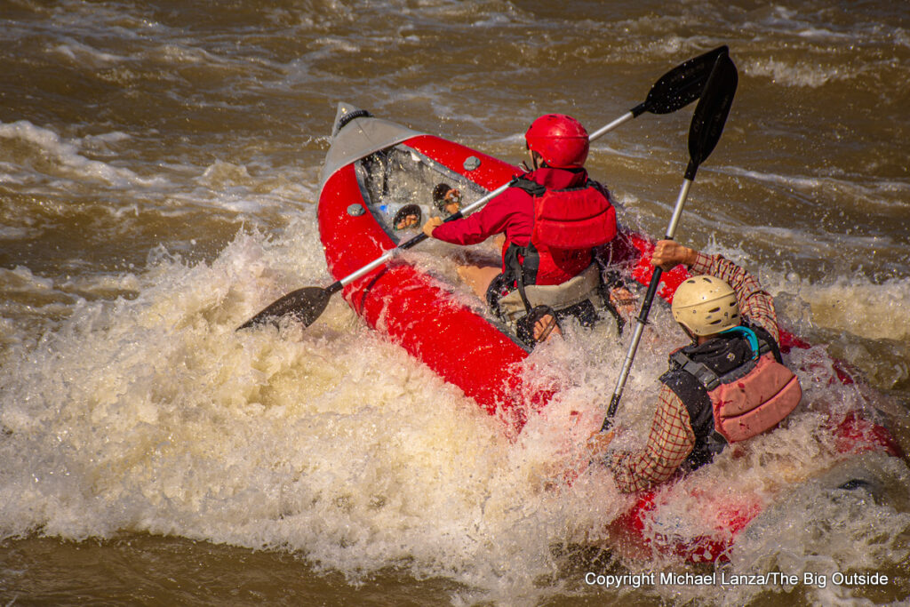
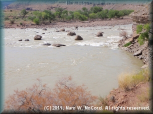
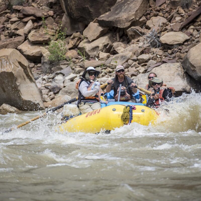
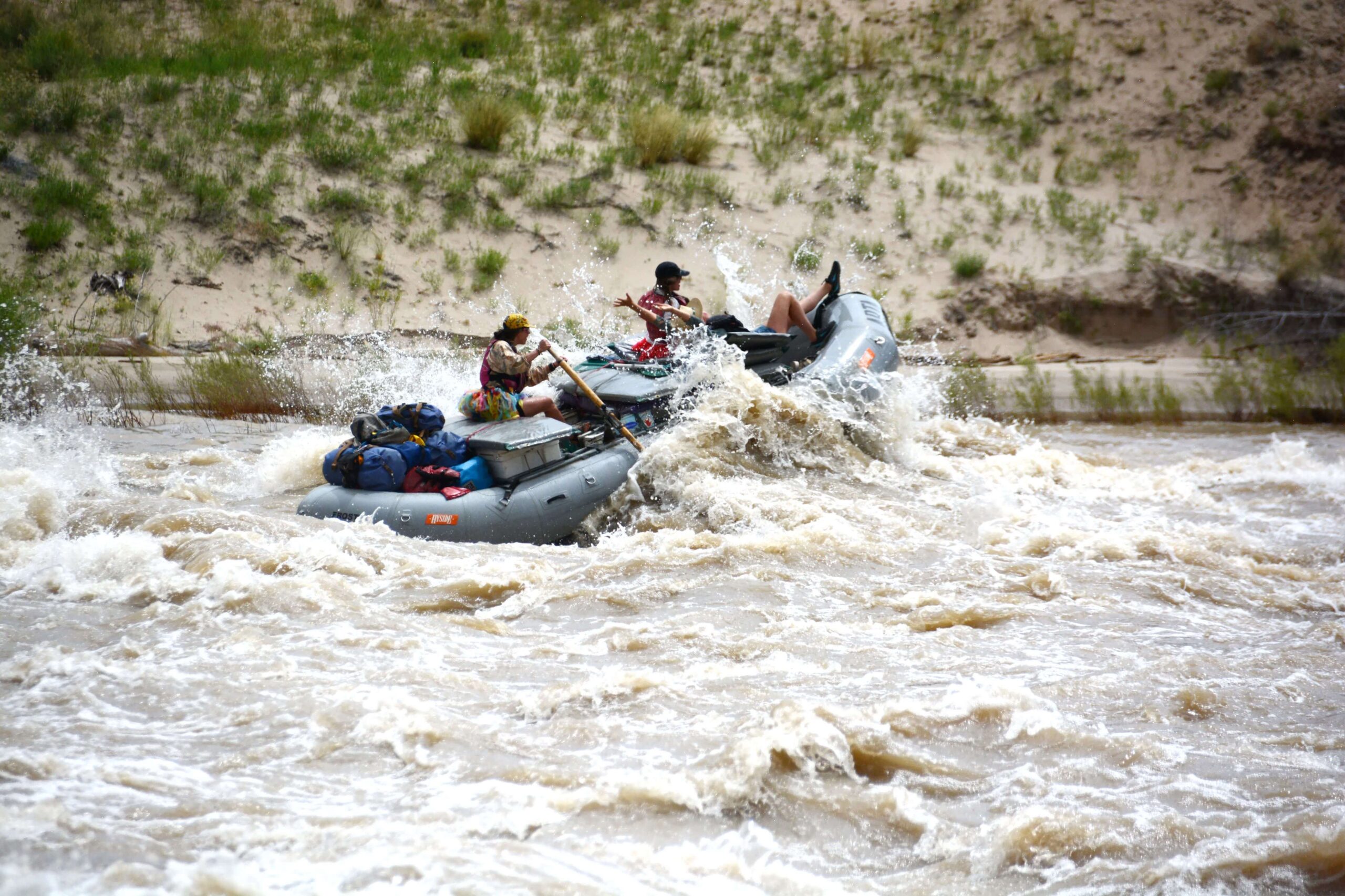
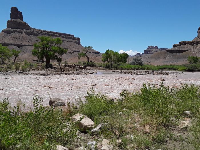
Photo
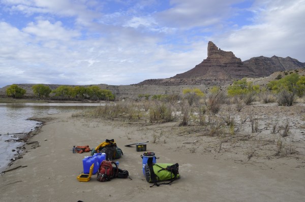
Photo courtesy of American Whitewater
Description
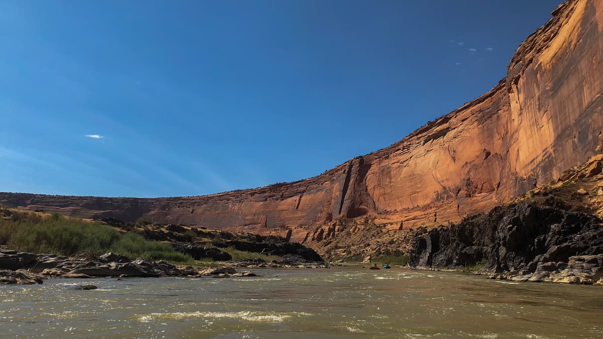
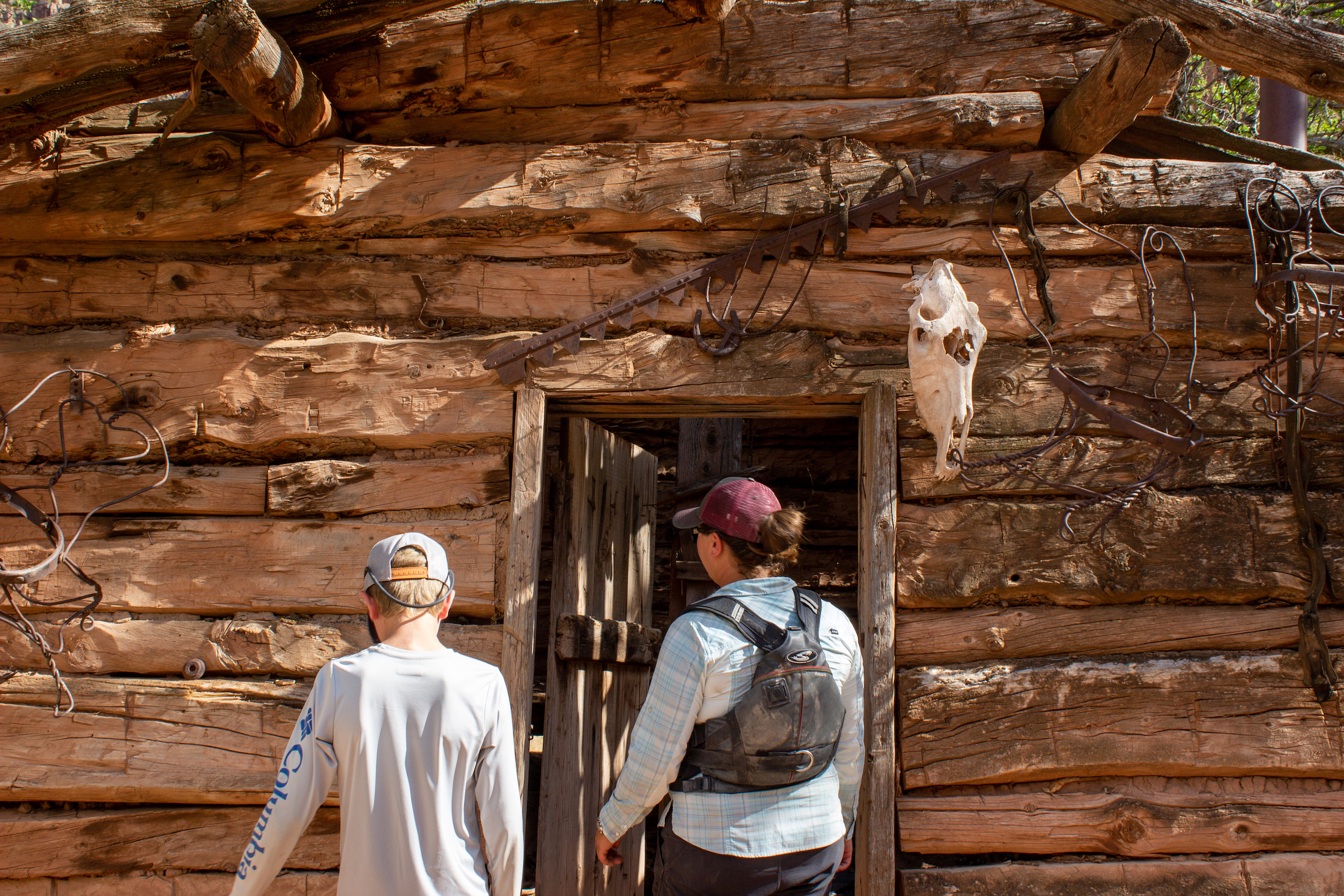
For the next approximately 60 miles, down to the Coal Creek confluence, the land on river left is part of the Uintah and Ouray Reservation and managed by the Ute Indian Tribe. While recreational permits were available, the tribe suspended all recreational permits for non-tribal members due to repeated violations. This restriction is currently indefinite and prohibits all camping, hiking, or firewood gathering on tribal land.
Location
Other Rapids on This Run (14)
 Rapid
N/A
Rapid
N/A
Wildlife Refuge launch area
 Rapid
N/A
Rapid
N/A
Ouray Bridge boat ramp
 Rapid
N/A
Rapid
N/A
Sand Wash
 Rapid
I
Rapid
I
Little Rock House Riffle
 Rapid
II
Rapid
II
Big Canyon Rapid
 Rapid
II
Rapid
II
Jack Creek Rapids
 Rapid
III+
Rapid
III+
Joe Hutch Rapid
 Rapid
N/A
Rapid
N/A
McPherson Ranch
 Rapid
III
Rapid
III
Wire Fence Rapid
 Rapid
III
Rapid
III
Three Fords Rapid
 Rapid
II
Rapid
II
Coal Creek Rapid
 Rapid
N/A
Rapid
N/A
Boat Ramp below Swaseys
 Hazard
N/A
Hazard
N/A
Tusher Dam
 Rapid
N/A
Rapid
N/A
Green River State Park Access
View Full Run
04. Ouray to Green River Town
Green
II-III
130.0 mi
Current Conditions
5-Day Forecast
Whitewater data from
American Whitewater
American Whitewater