Gauge Conditions
Photo
Description
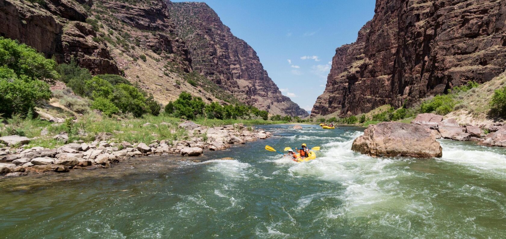
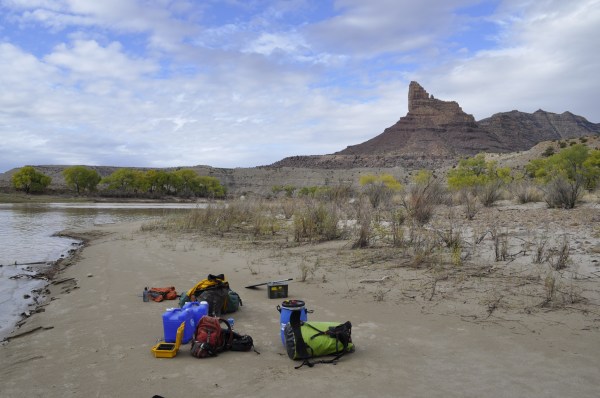
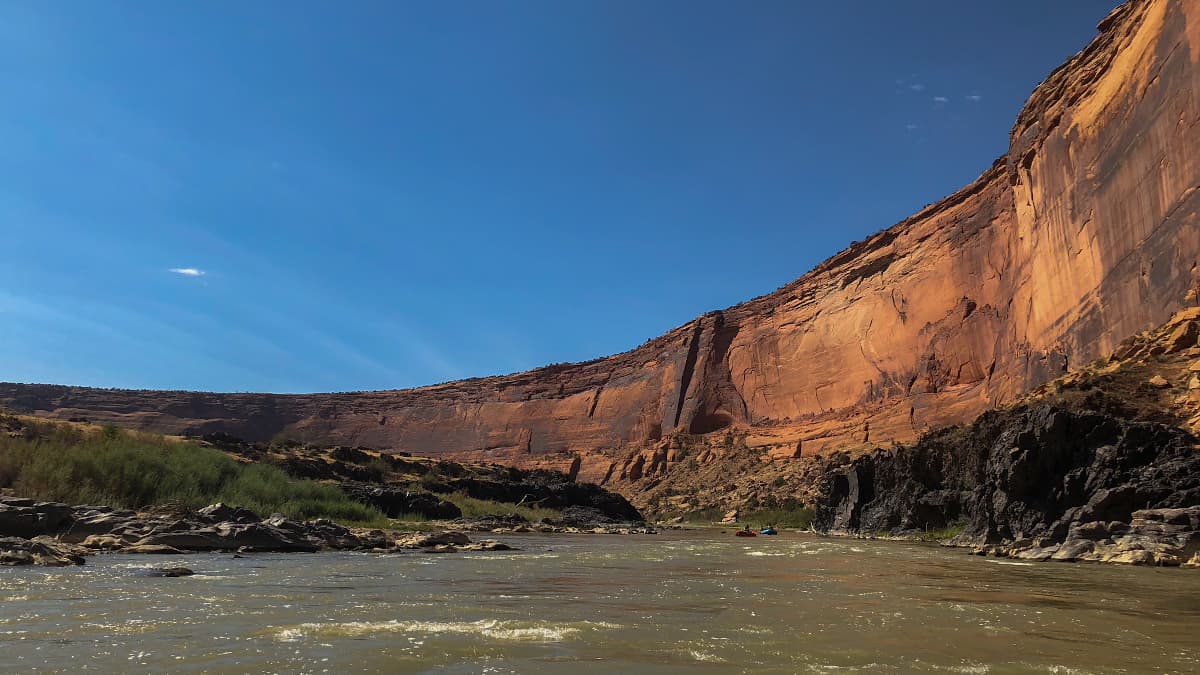
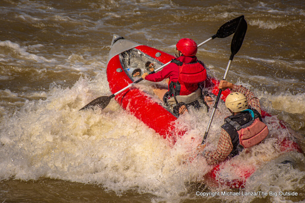
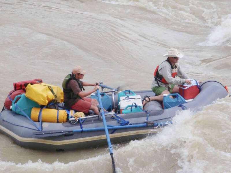
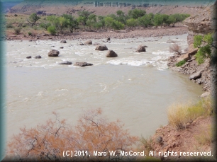
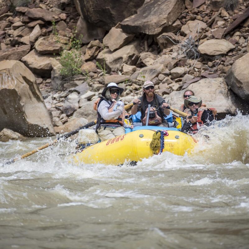
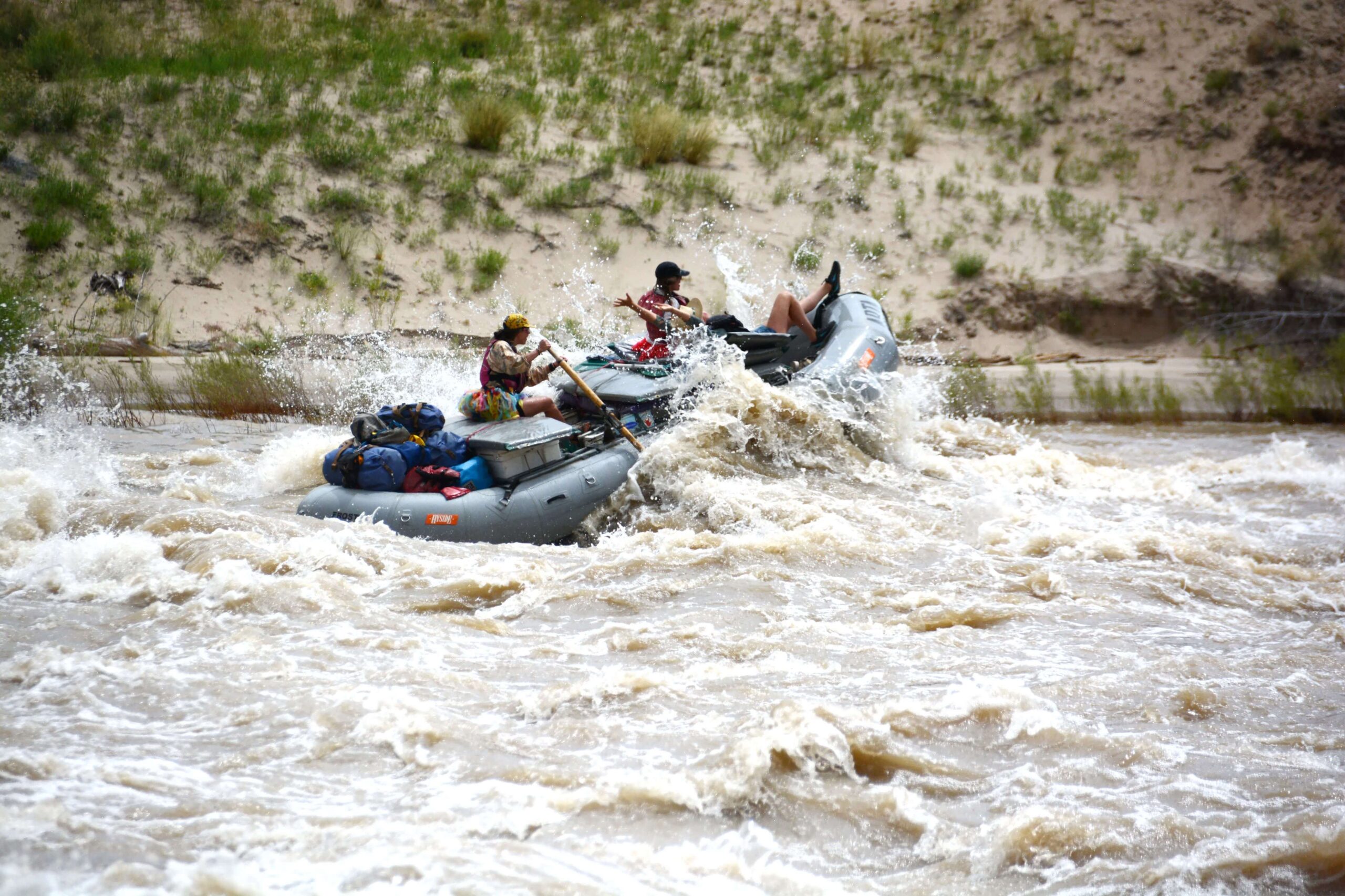
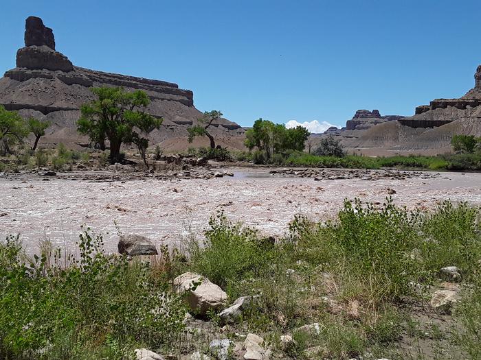
The boat passage through Tusher Dam on the Green River opened in March 2017, thanks to advocacy by American Whitewater. Located ~6 miles upstream of the Town of Green River, between Swasey’s Boat Ramp and Green River State Park Campground, the diversion allows safe boat passage. The chute is in river center to improve navigation at low flows. Warning signs at Swasey’s and 300 feet upstream of the portage trail mark the boat passage (CENTER OF DIVERSION) and portage trail (RIVER LEFT). If closed, signs read: “CAUTION Boat Chute Closed Use Portage Trail.” The trail and emergency landing are ~300 feet upstream on RIVER LEFT, following a 15-foot-wide maintained two-track road. The chute is between two indicator boulders and works best at flows above 1,300 cfs. At high water, the boulders may be submerged. Scouting is recommended before continuing downstream.
Location
Other Rapids on This Run (14)
 Rapid
N/A
Rapid
N/A
 Rapid
N/A
Rapid
N/A
 Rapid
N/A
Rapid
N/A
 Rapid
N/A
Rapid
N/A
 Rapid
I
Rapid
I
 Rapid
II
Rapid
II
 Rapid
II
Rapid
II
 Rapid
III+
Rapid
III+
 Rapid
N/A
Rapid
N/A
 Rapid
III
Rapid
III
 Rapid
III
Rapid
III
 Rapid
II
Rapid
II
 Rapid
N/A
Rapid
N/A
 Rapid
N/A
Rapid
N/A
Current Conditions
5-Day Forecast
American Whitewater