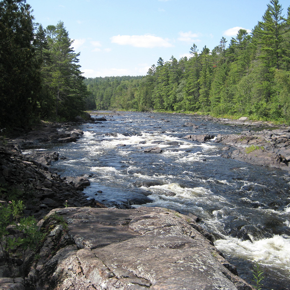
Whitewater Map
Explore rapids, waterfalls, playspots, hazards, and portages across the United States
24,753
Total Features
21,352
Rapids
855
Waterfalls
927
Playspots
1,513
Hazards
106
Portages
Click a category above to filter the map and list
Loading...
Map Legend
Rapids
Waterfalls
Playspots
Hazards
Portages
Rivers
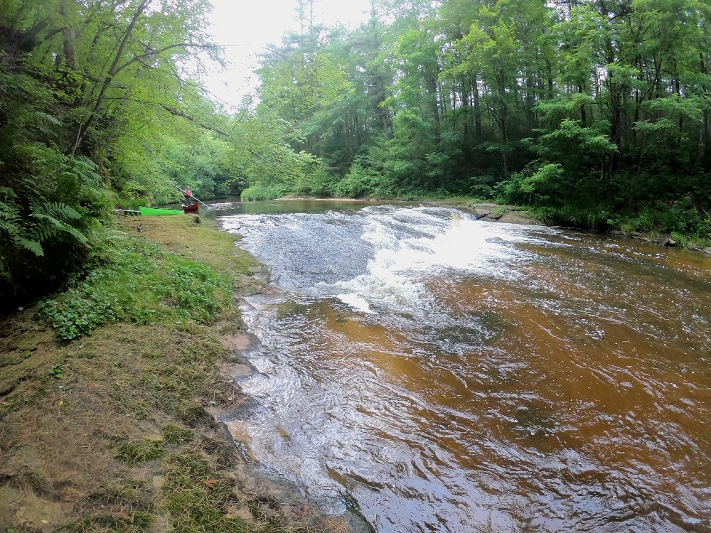
Michigan 48 features
Possible egress?
Rapid
N/A
Put In
Rapid
N/A
Take Out
Rapid
N/A
Put In
Rapid
N/A
Take Out
Rapid
N/A

Confluence, unnamed creek
Rapid
N/A
Falls
Rapid
N/A

Falls
Rapid
N/A

Falls Sequence
Rapid
N/A
Falls Sequence
Rapid
N/A

Put In
Rapid
N/A

Take Out
Rapid
N/A
USGS sampling site
Rapid
N/A
Bonanza Falls
Waterfall
III+
Note:
Rapid
N/A
Put In
Rapid
N/A
Take Out
Rapid
N/A
USGS sampling site
Rapid
N/A
Access #1 (Uppermost Possible Putin -- S.Boundary Road/NF360)
Rapid
N/A
Access #2 (FDR366)
Rapid
N/A
Confluence, Big Iron
Rapid
N/A
Confluence, Loggerhead Creek
Rapid
N/A
Ledge/wave/holes
Rapid
N/A

ledges
Rapid
N/A
More rock garden
Rapid
N/A

North Country Trail Bridge
Rapid
N/A

Put In
Rapid
N/A

Rock Garden
Rapid
N/A

Rocky Island
Rapid
N/A

Rocky Jumble
Rapid
N/A
Take Out
Rapid
N/A
Algonquin Falls
Rapid
III
Birth Canal
Hazard
N/A
Bump & Thump
Rapid
III+
Chippewa Falls
Rapid
II
Confluence, Kallander Creek
Rapid
N/A
Confluence, Little Black
Rapid
N/A

Confluence, Montowibo Creek
Rapid
N/A

Confluence, Narrows Creek
Rapid
N/A
Confluence, Sapsucker Creek
Rapid
N/A
Confluence, Sixmile Creek
Rapid
N/A
First Major Clearing
Rapid
N/A
Gabbro Falls
Hazard
V
Gorge Falls
Waterfall
IV+
Granite Falls
Playspot
II+
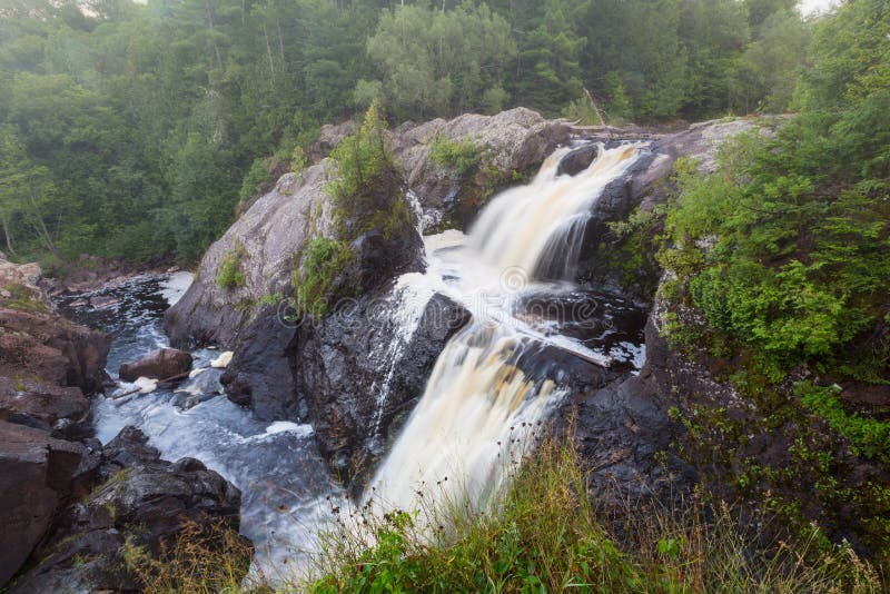
Great Conglomerate Falls
Waterfall
IV
Great Conglomerate Falls
Waterfall
IV
Hedberg Road / Powdermill Creek
Rapid
N/A