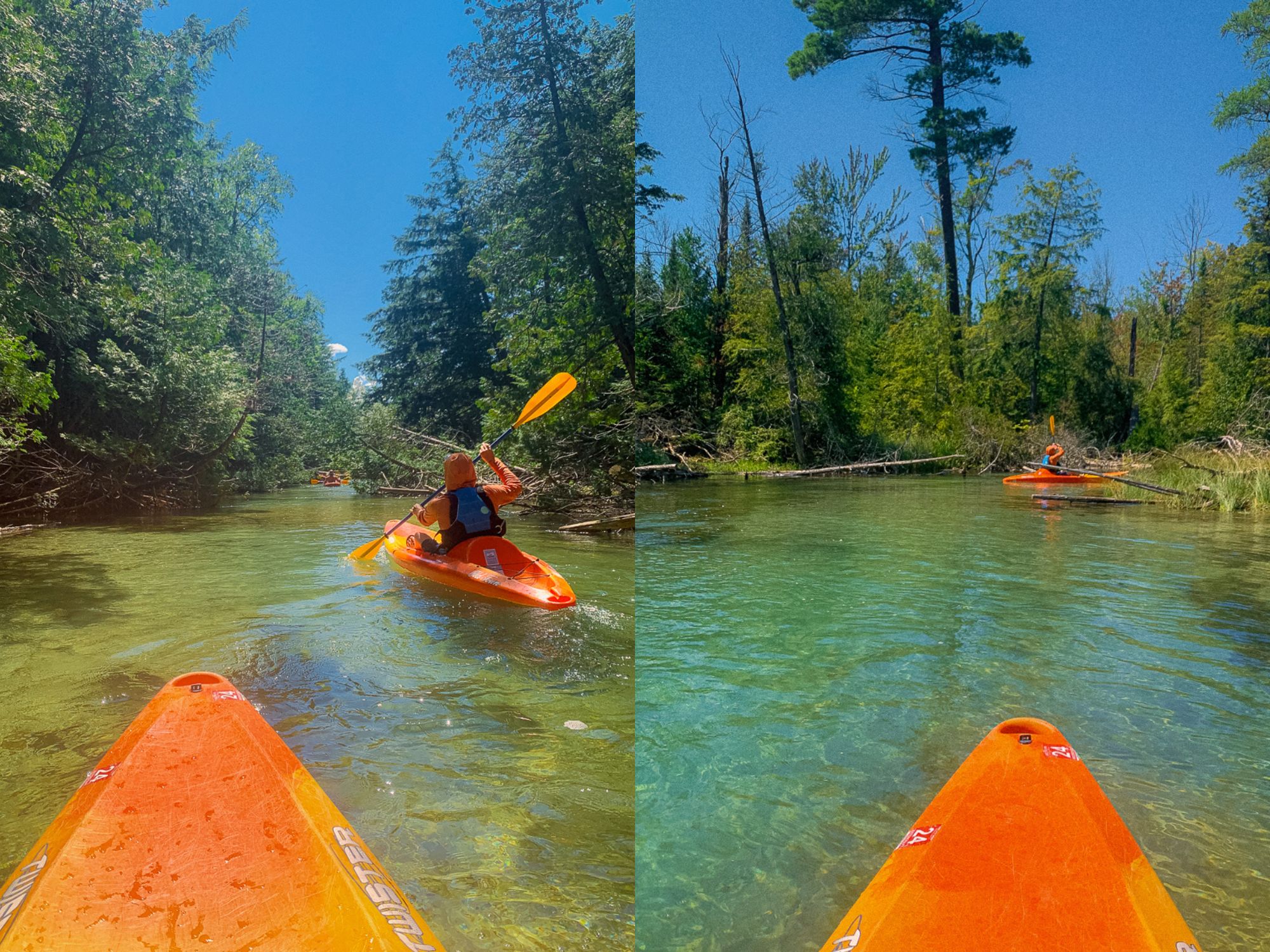
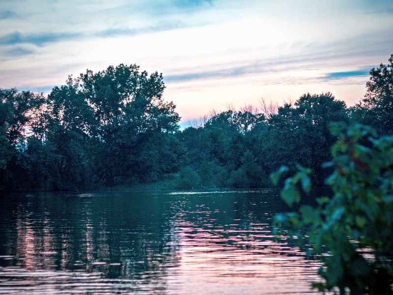
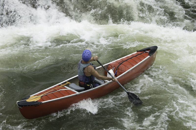
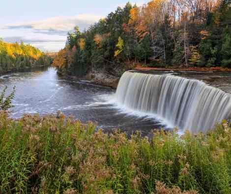
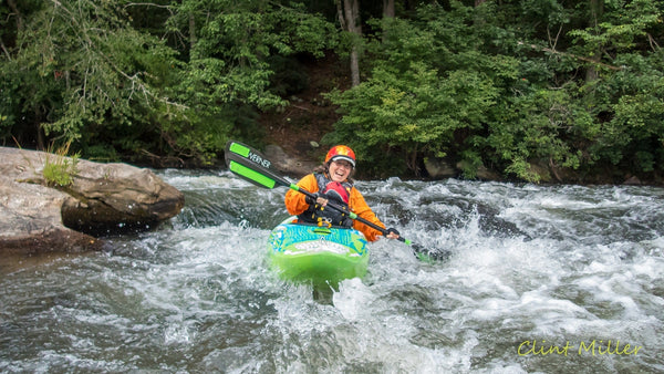
Whitewater Map
Explore rapids, waterfalls, playspots, hazards, and portages across the United States
24,753
Total Features
21,352
Rapids
855
Waterfalls
927
Playspots
1,513
Hazards
106
Portages
Click a category above to filter the map and list
Loading...
Map Legend
Rapids
Waterfalls
Playspots
Hazards
Portages
Rivers
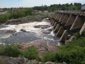
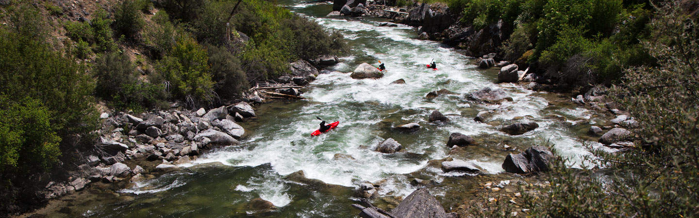
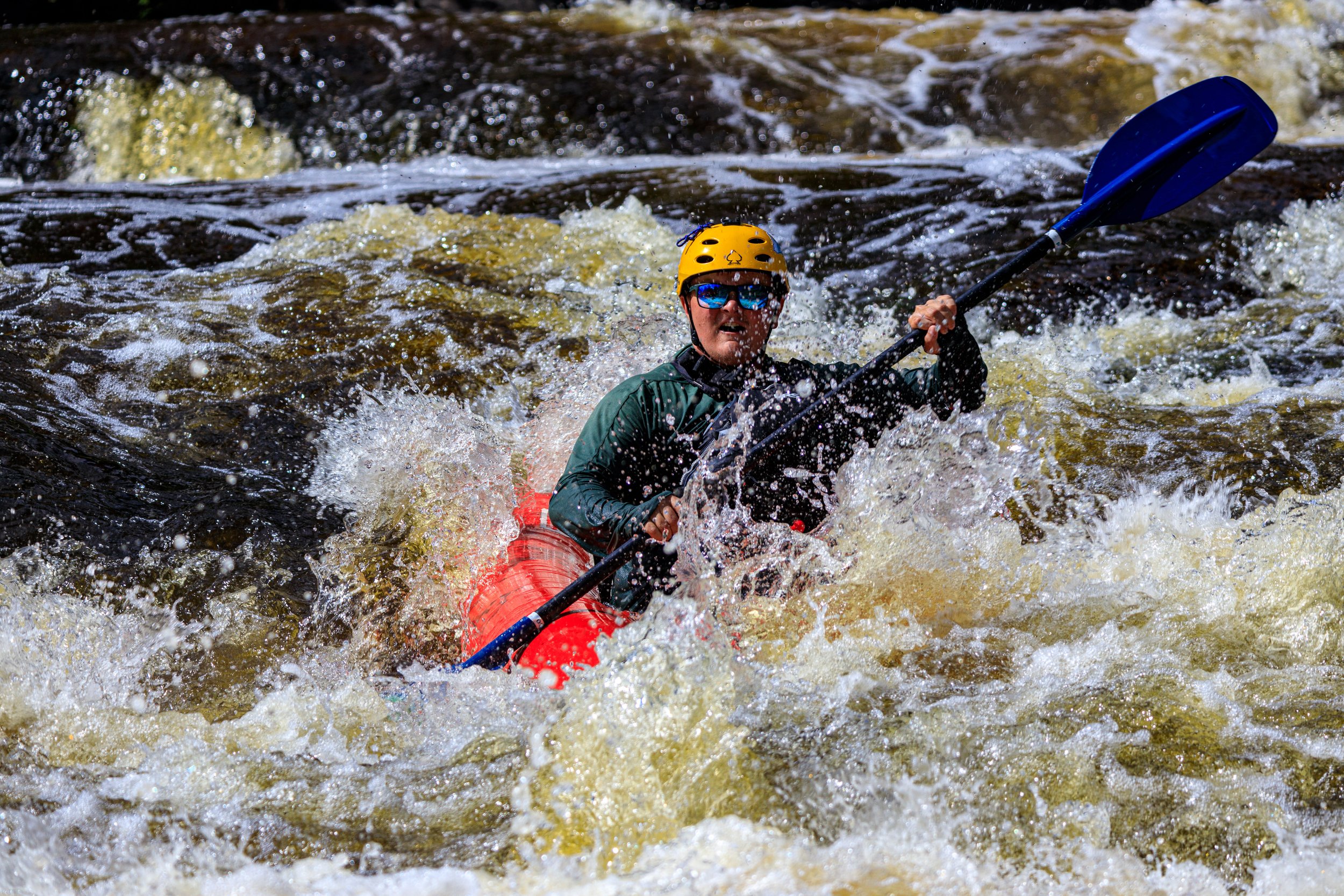
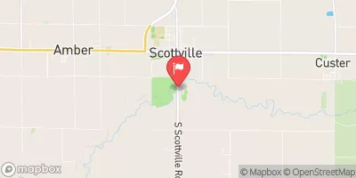
Michigan 48 features
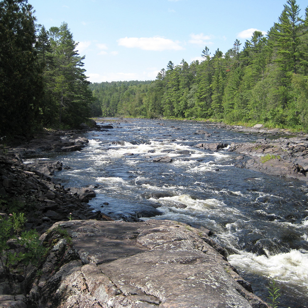
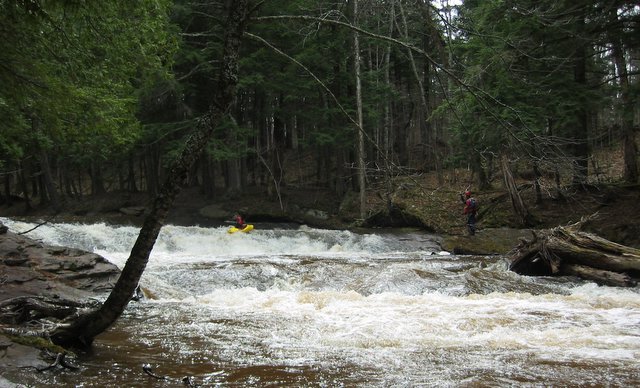
Rocky Rips
Rapid
II
Rocky Rips
Rapid
II
Take Out
Rapid
N/A
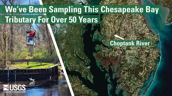
USGS sampling site
Rapid
N/A
USGS sampling site
Rapid
N/A
USGS sampling site
Rapid
N/A
USGS sampling site
Rapid
N/A

Wave and rips
Rapid
N/A
Baker Blackjack Road
Rapid
N/A
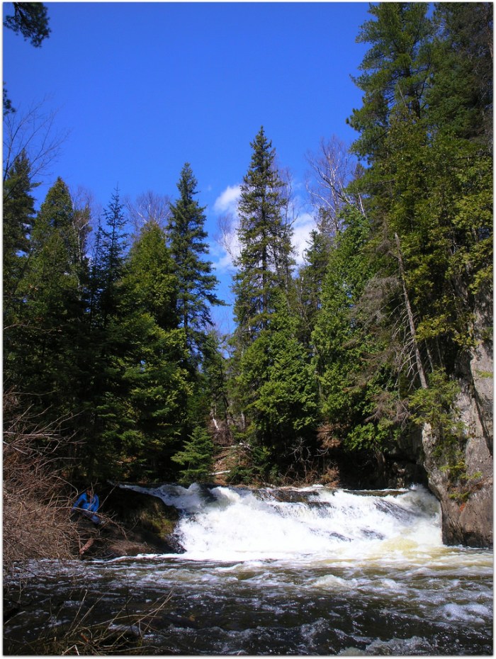
Neepikon Falls
Rapid
N/A
Put In
Rapid
N/A

Take Out
Rapid
N/A
USGS Sampling Site
Rapid
N/A
Choate Road: Take Out
Rapid
N/A
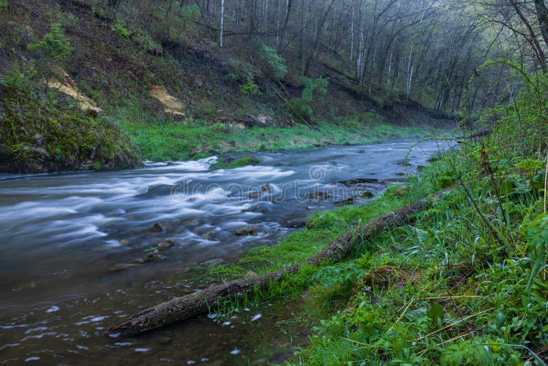
Confluence with Bluff Creek (Roselawn Creek ends)
Rapid
N/A
Put In
Rapid
N/A
Sleepy Hollow Road
Rapid
N/A
U.S.45
Rapid
N/A
Cass Rd access
Rapid
N/A
Old YMCA Take out
Rapid
N/A
Put in
Playspot
I

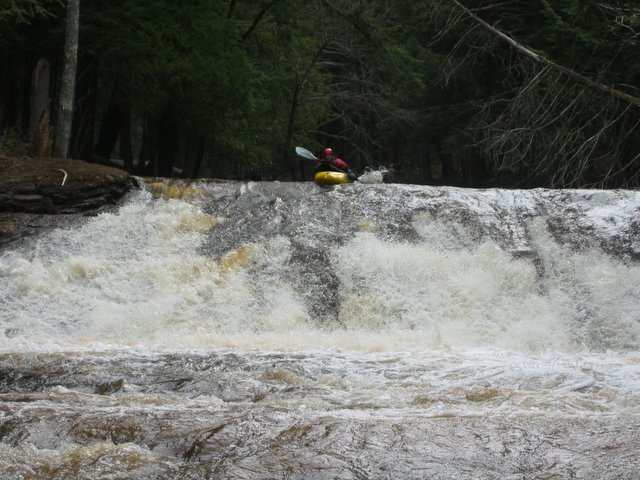
Rapid #1
Rapid
II
Rapid #4
Rapid
II
rapid 1
Rapid
II
rapid 3
Rapid
N/A
Sabin Dam Rapid
Playspot
I
Stump Wave
Playspot
I
Alternate take-out
Rapid
N/A
Braided Channel
Rapid
N/A
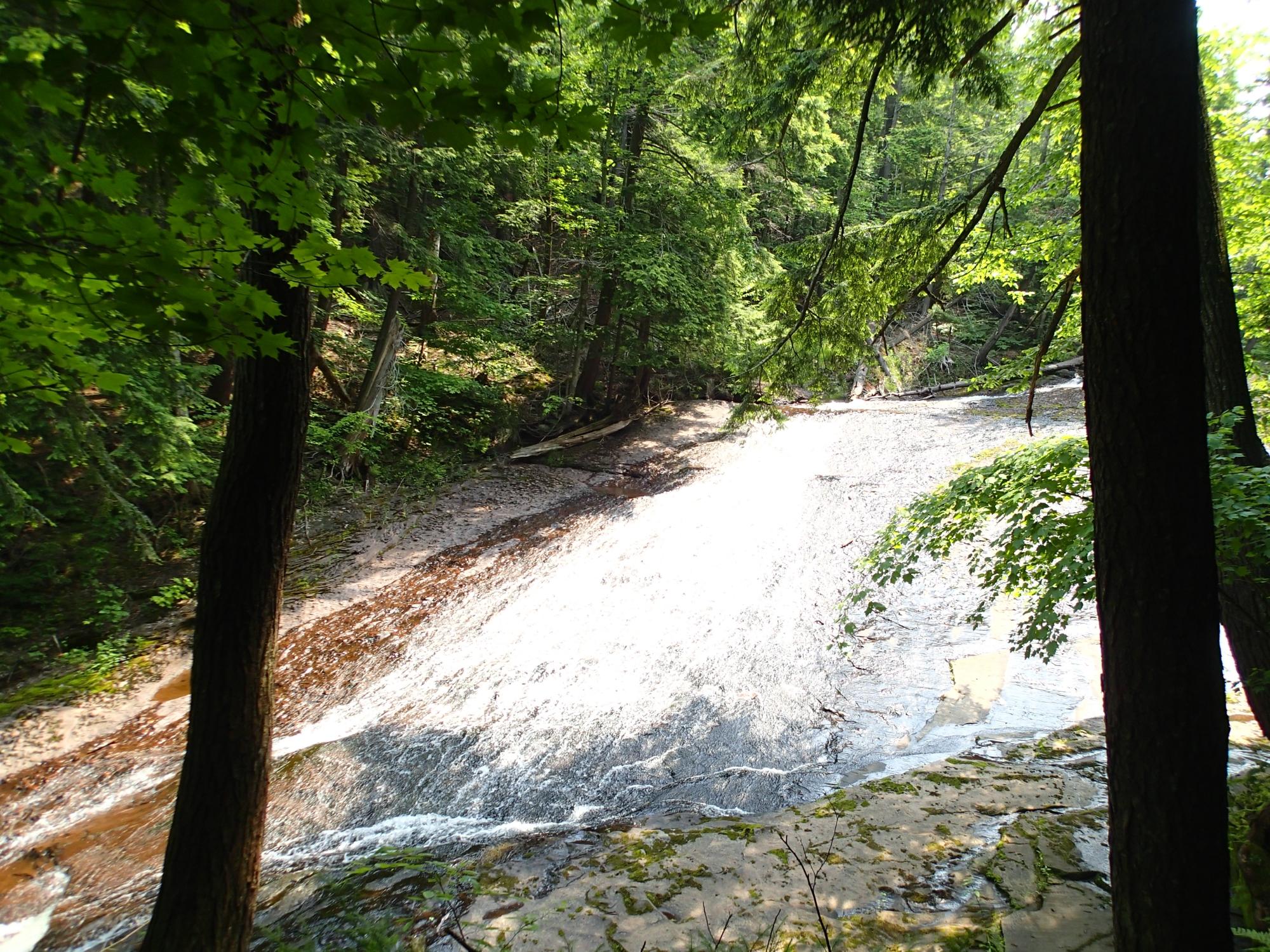
Falls Sequence
Waterfall
V
Hwy.28/41
Rapid
I
More low-grade rapids
Rapid
II
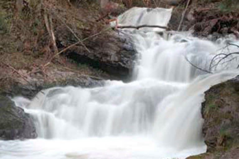
Morgan Falls
Rapid
N/A
Notice:
Rapid
N/A

Put In
Rapid
N/A

Put In
Rapid
N/A
Put In
Rapid
N/A
Split Ledge
Rapid
IV
Take Out
Rapid
N/A
Take Out
Rapid
N/A

Take Out
Rapid
N/A

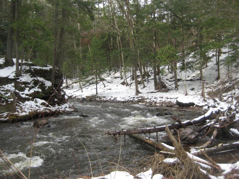
Upper Carp River Falls
Waterfall
IV
USGS sampling site
Rapid
N/A
Warm-up
Rapid
N/A
Bathtub Falls
Rapid
N/A
Big Carp Falls?
Rapid
N/A
Drainage Area
Rapid
N/A
Drop
Rapid
N/A