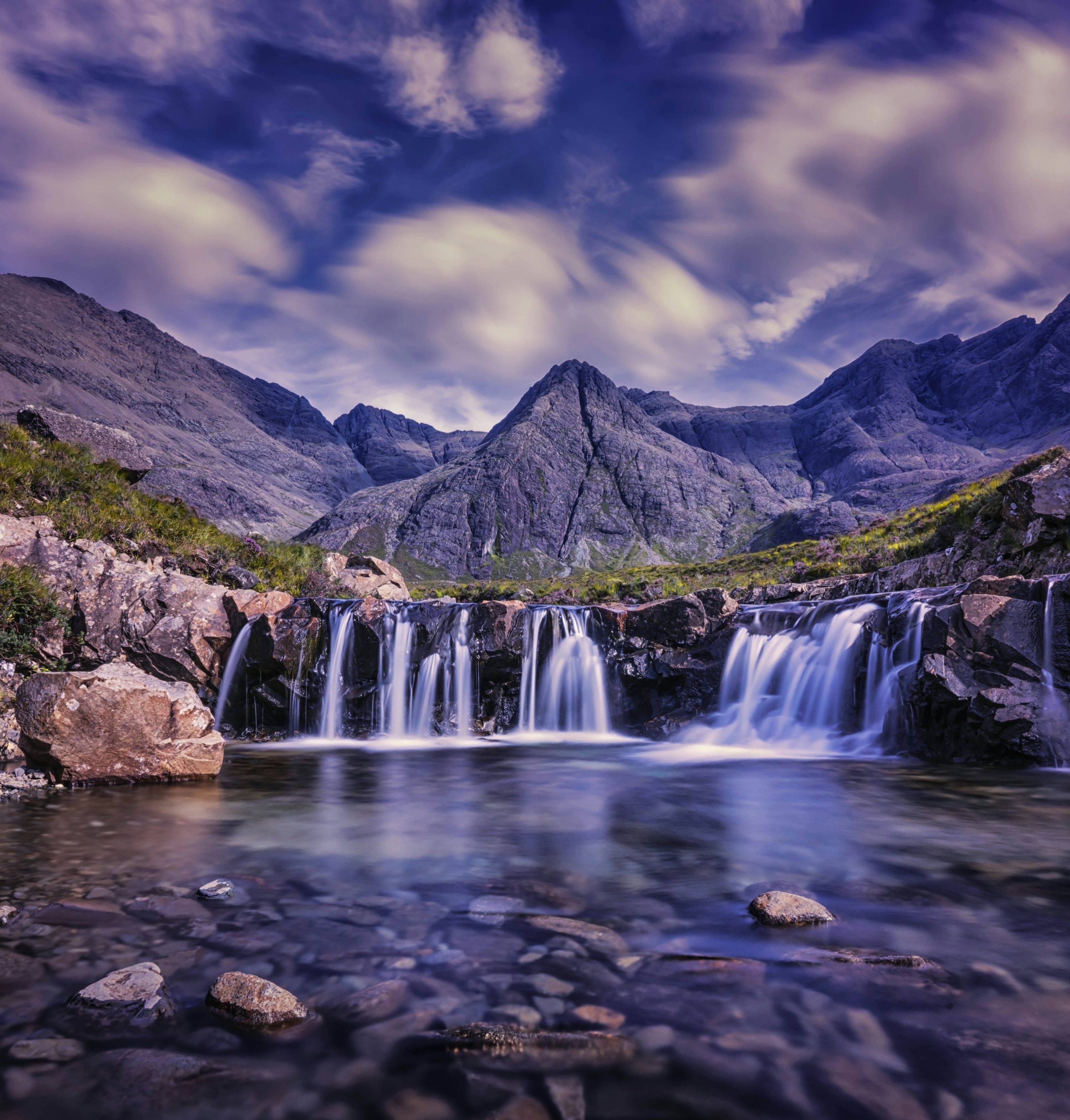
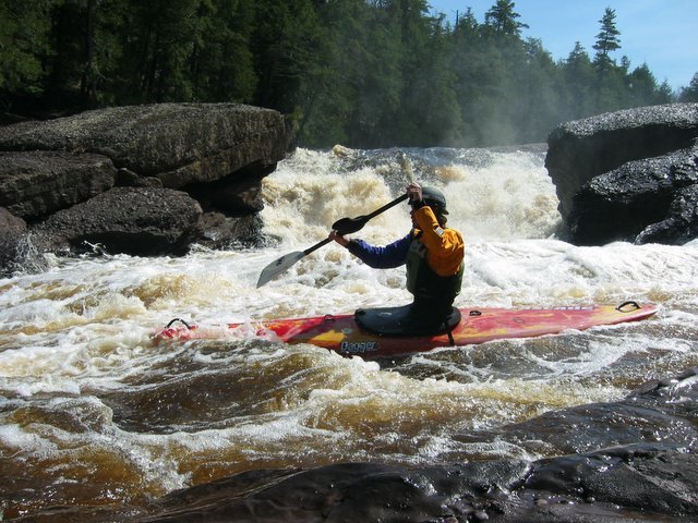
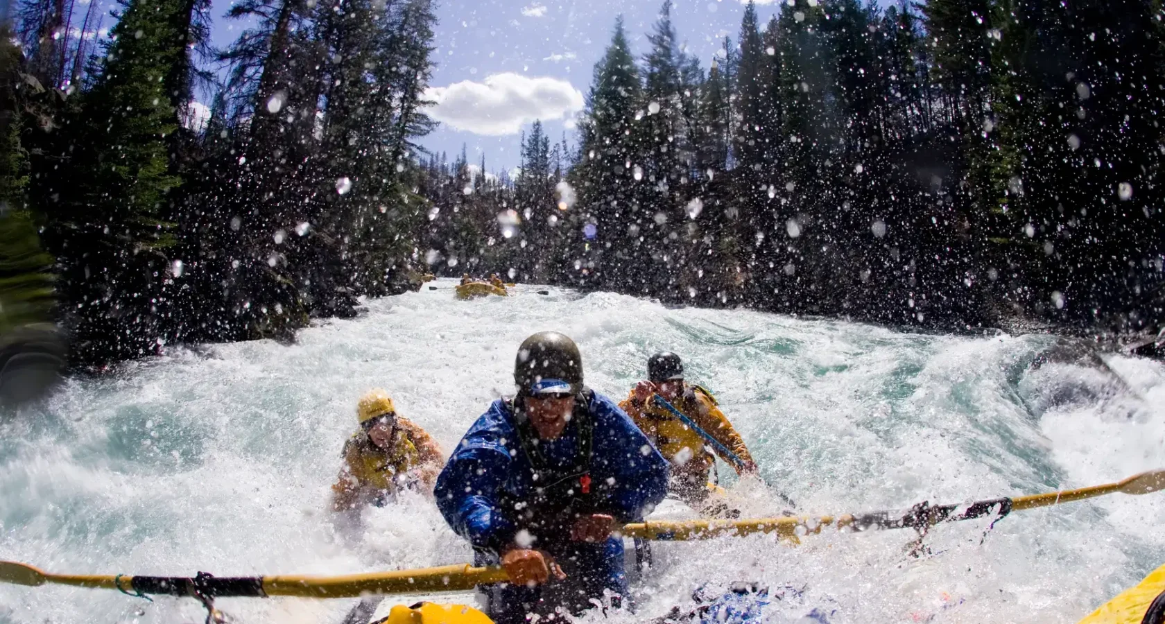
Whitewater Map
Explore rapids, waterfalls, playspots, hazards, and portages across the United States
24,753
Total Features
21,352
Rapids
855
Waterfalls
927
Playspots
1,513
Hazards
106
Portages
Click a category above to filter the map and list
Loading...
Map Legend
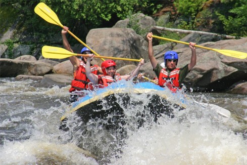
Rapids
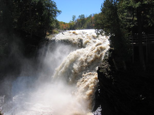
Waterfalls
Playspots
Hazards
Portages
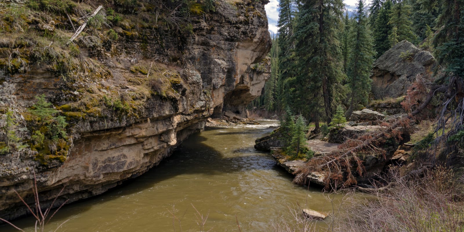
Rivers
Michigan 48 features
Jill's Bypass
Waterfall
IV
Jills Delight
Waterfall
III+
Ledge/hole
Rapid
N/A

Left Channel: No-Surprise/Over-the-Falls
Waterfall
IV+
Main Street / USGS Sampling Site
Rapid
N/A

Minor ledge/wave
Rapid
N/A
Moore Road
Rapid
N/A
Neepikon Falls
Rapid
N/A

Possible slight wave/hole
Rapid
N/A
Potawatomi Falls
Waterfall
V
Powerline Crossing
Rapid
N/A
Powerline Crossing
Rapid
N/A
Put In
Rapid
N/A

Put In
Rapid
N/A

Put In
Rapid
N/A
Put In: Narrows Park
Rapid
N/A
Railroad bridge
Rapid
N/A
Rainbow Falls
Waterfall
V
Right Channel: Surprise/Under-the-Falls
Hazard
IV
Road Bridge
Rapid
N/A

Rock Bar
Rapid
N/A
RollerCoaster
Rapid
III+
Sanders Road
Rapid
N/A
Sandstone Falls
Waterfall
IV+
Second Major Clearing
Rapid
N/A
Slightly more significant feature
Rapid
N/A

Take Out
Rapid
N/A
Take Out
Rapid
N/A
Take Out
Rapid
N/A

Take Out: Narrows Park
Rapid
N/A
USGS Gauge location
Rapid
N/A

USGS sampling site
Rapid
N/A
Black River Falls
Rapid
V

Brief Rips
Rapid
N/A
Brief Rips
Rapid
II
Co.Rd.601
Hazard
N/A
Co.Rd.Ffk
Rapid
N/A

Co.Rd.Ffw
Rapid
N/A

Greenwood Reservoir Road
Rapid
N/A
Islands/rips
Rapid
N/A
Long Narrows
Rapid
II+

LS&I
Rapid
I

M95 Bridge
Rapid
N/A
Private footbridge
Rapid
N/A
Put In
Rapid
N/A
Republic-Champion Grade Trail
Rapid
II

Rips
Rapid
I
Rocky Rips
Rapid
N/A